History of New Hope Community Bikes' Everesting Event

2018

Everesting as a fundraiser was piloted in 2018 to raise support for capital improvements to the building New Hope Community Bikes purchased in spring that year. In its first year, 12 riders participated on a very cold and rainy day and raised almost $10,000 for the cause. Everyone agreed that even though the effort was painful and the weather miserable, the overall experience was a fun way to raise money. The proof of concept was there and 2019 was the year to grow the event.

2019

Getting a permit to close the road was the first step towards ensuring rider safety and enjoyment. Fifty Road, at the furthest east edge of Hamilton’s boundary, was the obvious choice for its scenic views, good quality pavement and relatively low traffic volumes.

42 Riders signed up to punish themselves on the 110m climb with about 1/3 of the riders being affiliated with the newly formed New Hope Bike Club.

The format of Everesting fits well with the New Hope vision of building community through bikes, allowing riders of different skill levels and fitness to ride together and regroup regularly at the top and bottom of the course. This provided lots of opportunities to share encouragement and share the story of ‘why we do what we do’.

The weather on October 18, 2019 was perfect for riding, cool in the morning and comfortable for t-shirt riding in the afternoon. Many spectators and family members came out to cheer on the riders and one of the local radio stations did a ‘live on location’ piece from the top of the hill. Together the group climbed over 80,000m of elevation, two riders accomplished solo Everest climbs and many others completed half of the 8,848m.

Overall, Everesting 2019 raised $16,692 to support our ongoing programs and staffing! Feedback after the event was positive and we have already set the date for the next challenge:

2020

Despite Covid-19 restrictions in 2020, the event went forward with 52 riders participating and over $24,000 raised. 6 Riders completed SOLO efforts and received commemorative photos! 2020’s ride started with a brief early morning thunder storm and down pour, but by 9 am the skies had cleared and riders were starting to count their laps. The day turned into a perfect day for riding with moderate temperatures great for riding. The fastest solo rider finished in under 12 hours!

2021

With fewer Covid-19 restrictions in place, Everesting grew again for 2021. The friends and family FLAT ride was added, and a total of 92 riders signed up to participate in the days’ festivities. We brought in a catered lunch from everyone’s favourite cycling cafe Domestique! Together the riders raised over $25,000

Planning for the Everesting Cycling Fest: What is Provided and What to Bring

We want to make your participation in the Everesting Cycling Fest p/b Velolaw as enjoyable as possible! Here’s what you can expect from us as well as some things you should plan to bring:

  • There will be mechanics on site to assist with any technical issues and get you rolling again as soon as possible

  • A light lunch is included with your registration. If you have not already done so in your registration or by email, please let us know if you have any dietary restrictions. 

  • Please bring your own food for the whole day. The lunch provided will not be enough to fuel you through a full day of riding. 

  • If you plan to attempt a Solo Everest, bring lights for the early morning and the evening. We recommend a bright white front light and a flashing red rear tail light. Not sure what lights to use? Visit us in the shop and we can provide more guidance. 

  • Bring extra clothes and plan for weather changes. It’s always a good idea to bring multiple layers of clothing so that you can handle a wide variety of temperatures and still be comfortable while riding. 

Check out this video for some Everesting Tips.


3 Things to Consider Before the Everesting Cycling Fest p/b Velolaw

Here are three things to consider as you prepare for Everesting:

  1. Plan Your food - It’s always a good idea to practice your fueling plan before the day of the event to prevent any stomach upset. Practice what foods you enjoy eating while riding. Try to focus on simple carbs (sugars!) that are easier to digest and are good energy so you can continue pedaling.

  2. Consider a Bike Fit - Having a properly fitted bike is key for ensuring you don’t experience pain while riding, especially when taking on a challenge like Everesting. Consider getting a professional bike fit done! Adam Kulchyski from The Cycling Academy offers mobile bike fitting. 

  3. Practice Good Gear Selection - As you complete your training rides for Everesting consider what gears feel good on the hill. It is generally a good idea to turn the pedals at 90 revolutions per minute (RPM). Watch this video for what that looks like! Practice settling into a nice fast spin that allows you to push the pedals but isn’t too hard. Also practice this to ensure that your bike has gears that allow you to maintain a good RPM while climbing - if the gears are too hard bring your bike in to us at the shop and we can help you out!

I am SPEEEEED: Riding Route #1 The Country.

As per the city website, this is a 40km route that should take about 4 hours. It runs between Albion Falls and Jerseyville Rd at Lovers Lane (why do 80% of these routes start or end at this intersection?)

Screen Shot 2021-07-21 at 1.35.01 PM.png

Connection points

  • East Mountain: Mountain Brow Blvd./ Limeridge Rd./ Arbour Rd.

  • Ancaster: Wilson St./Fiddler's Green Rd./ Lovers Lane

Route design

  • Easy: Paved on-road and a short paved trail section by Albion Falls over the LINC.

  • Take care crossing Rymal Rd., crossing Highway 6/ Upper James, Wilson St. at the roundabout, and along Jerseyville Rd.

City transit access

  • East Mountain: Route 21, Route 22 nearby

  • Ancaster: Route 16, Route 5C/ 5A nearby

Inter-city transit access

  • None

Our Ride:

Ridden by Jack:

Jacksquatch got his Slurpee after all….

Jacksquatch got his Slurpee after all….

Jack is a New Hope Mechanic described by a customer as "a gentleman in a cycling cap and rather short shorts." He likes under-biking, bikepacking, and bespoke Finnish hammocks. 


Our name for this ride: I AM SPEEEEEED

20210627_133738.jpg

This route ended up being 38.6kms and had 140m of climbing when done east to west. Going in the other direction, it looks to be about 100m of climbing. It took Jack about 2hrs to complete. Making this route into a loop would double or triple the amount of KM's. It's doable, but Jack felt that there are simply nicer routes that could be chosen if you were looking to do an 80-120km ride. Of note is that this route was planned 19 years ago, so a lot of the "countryside" is now subdivisions along the route.

Difficulty Rating: 

As far as technical riding is concerned, this is a literally straightforward ride because it is just riding in straight lines. The difficulty in this ride (rated 2 out of 10 for ease and accessibility) comes from the fact that it is 40km with persistent headwinds and no paved shoulders or rest stops. Additionally, it requires you to cross 6 lanes of heavy traffic on Upper James/Highway 6 with no traffic light. This ride would be suitable for moderate to experienced road cyclists. However, it's not particularly leisurely or appropriate for a commute. This route requires that cyclists are extremely comfortable taking space on narrow country highways, strong riders in a headwind, and able to pack enough water for the entire trip as there are no refill stops along the way. Also, only road cyclists would find riding in a straight line with no shade while cars close-pass you fun, so, probably best to leave it to them. 

Stardate 75035.7, I finally, a right turn. Little did I know how long I would I be on Kirk road.

Stardate 75035.7, I finally, a right turn. Little did I know how long I would I be on Kirk road.

Is it easy to find and stay on?:

Starting at Albion is easy because it's well-marked and has a parking lot. Similarly, starting at Loverslane and Jerseyville is relatively easy to find even though there isn't a parking lot or any good reason to start/end a route there. Overall, there are very few turns on this route, so it is generally easy to stay on. Jack did say it starts to play tricks on you, though, because you are just riding straight for so long you begin to worry you've missed your turn. 

How was the infrastructure and routing?:

The infrastructure in this ride was primarily just narrow country highways with inconsistent gravel shoulders. A couple of new and well-maintained bike lanes were in the suburban sprawl at the beginning of the ride. The infrastructure could be improved by paving the shoulders of some of these roads, but honestly, it's such weird routing it makes more sense to just make a new route. One key re-route could be to take the Chippewa Rail Trail - this is gravel, though, so it may not be appropriate for road bikes. Additionally, Jack felt that taking Fiddlers Green instead of Shaver Road would make for a nicer ride. Admittedly nobody in this shop rides road bikes, so we may be completely wrong on this review. 

Overall Takeaways and Recommendations: 

Lots of subdivision views on this ride.

Lots of subdivision views on this ride.

This was just sorta a bummer ride. It wasn't very interesting or scenic; it was mostly just riding in a straight line in a headwind and full sun for 2 hours. When it was made 19 years ago, it may have been a more excellent ride, but there has been a lot of new development in several areas around the route. There are a lot more interesting road rides up towards Waterdown via Snake road. This route could probably just be entirely scrapped, TBH.

  1. Find better routing to cross Highway 6. The spot is unsafe 

  2. When routing longer road rides, make sure that you're routing around water resupply areas. This route had none - the farm stands don't sell water. 

  3. This area has many great potential stops for conservation areas, etc. When routing up the Chippewa that was not included in this ride. 


Prettyyyy Pretty Good: Riding Route #3 Harbour & Lakeshore

As per the Hamilton website - this is a 16km route that is expected to take 1.5 hours and goes between Aldershot Go station and Confederation Park. 

Screen Shot 2021-07-07 at 5.55.27 PM.png

From the city website:

Connection points

  • Aldershot: Aldershot GO/ VIA Station at Waterdown Rd./ Highway 403

  • Confederation Park: QEW/ Centennial Pkwy

Route design

  • Easy: Paved; half of the route is a paved trail (Waterfront Trail) or optional on-street (Beach Blvd.)

  • Take care crossing under the QEW on North Shore Blvd. and crossing the lift bridge

City transit access

  • Aldershot: Route 18, Burlington Transit 1

  • Confederation Park: Route 56 (seasonal), Route 11 nearby

Inter-city transit access

  • Aldershot: GO/ VIA Station

  • Confederation Park: Stoney Creek (Nash Rd.) GO Transit

Our Ride:

Ridden by: Meredith

Screen Shot 2021-07-07 at 6.07.29 PM.png

Meredith is a long-time New Hope staffer. She works as a mechanic, Ride Smart instructor and teaches our Bike-packing 101-weekend course. She is an avid cyclist and recently completed the cannonball 300 (so she definitely likes long and challenging rides). She is also probably the only one of us who is still nice to people on the phone at the shop.

Our name for this route: prettyyyy pretty good

This ride ended up being 14.2km with about 44m elevation (Aldershot to confederation). Done in the other direction. It looks like you might end up around 150m of elevation. Making this route a loop almost triples the distance, but besides a couple awkward spots, it was given an 8/10 overall by Mere, so it's definitely pretty good!

Difficulty Rating:

Welcome to the danger… er construction zone.

Welcome to the danger… er construction zone.

This route scored 8/10 for easiness and accessibility. There are only a couple turns on the route, so it's easy to stay on, and the majority of it is on quiet streets or the lakefront trail, so it's a very chill time. There are only two spots that lower the rating of this route. (1) the awkward start/end across from Aldershot Go station and (2) navigating the weird (and never-ending?) bridge construction on North Shore. Having this route stop/start at Aldershot automatically increases the difficulty of the ride because it pretty much starts you in the middle of a bunch of on and off-ramps, which seems rather unnecessary for a lake shore ride. Additionally, the construction on the highway bridge at North Shore Blvd is such a mess with traffic that Mere ended up actually going off the road and behind a concrete barricaded walkway for pedestrians because it just felt safer. Otherwise, though this route was lovely and relaxing and would be an excellent ride for people new to cycling and looking to go on a longer ride that still maintains a leisurely vibe. 

Is It Easy to Stay On?:

Breathe in that fresh Lake Ontario air.

Breathe in that fresh Lake Ontario air.

Mere rated this section 9/10 because it's generally well marked with lots of great bike lanes, signs and sharrows. There are also only two really major turns to take, so it is pretty easy to memorize. The only confusion comes from the age of these routes. Because they were made around 2003, they were planned with little to no existing bike infrastructure. Now that both Hamilton and Burlington have been investing in cycling infrastructure, there is a bit of route confusion because these routes keep you off newer bike paths. For example, when turning from Waterdown Rd onto North Shore Blvd, there's now an option to either stay on the road, marked by a sharrow, or to ride into the city park where a paved path and green bike sign mark a different way down the big hill (Mere had ridden that path before, and said "it's really fun! It connects to the bottom of the hill through the woods on a dirt/gravel path, which is very enjoyable and still pretty easy to ride on.")

How Was the Infrastructure?:

Does Burlington even have potholes?

Does Burlington even have potholes?

So overall, the infrastructure on this ride was really great. There were lots of bike paths, lanes, and sharrows to choose from. When there weren't, you were on fancy pants Burlington residential neighbourhood streets, so you know they were well maintained. The primary spot that this route lost points on was the overpass, as mentioned earlier, where Mere described it as "confusing signage, mashed pavement and random concrete barriers and pylons to throw you off from finding a straight way through." There is lots of infrastructure along the waterfront trail portion that makes this an especially beginner or family-friendly route. Notable mentions go to the plentiful benches, good stuff to lean your bike on during a break, places to grab snacks, and a giant row of bike racks beside the Barangas patio. 

Overall Takeaways and Recommendations:

The main takeaway from this route is that if you axe the Aldershot Go station section, and if that bridge construction ever finishes, this is/will be a really nice and easy bike route. It includes just enough elevation to improve beginner fitness without being impossible to complete without risk of failure. 

  1. Make the routes easier to update when new infrastructure becomes available. This way, you don't have to worry about entirely overhauling them every 10-20 years when traffic and infrastructure have inevitably changed. 

  2. Find a nice way to make it an actual lakeshore loop that can be done starting and ending in Hamilton. It will definitely require adding some km's but would probably be worth it as this is a pretty standard way for people to ride to the beach from downtown. 

  3. Don't start/stop cycling routes at the Aldershot Go station. Depending on the time of day, the bike racks on the buses back to Hamilton can be pretty full, and the cost of the go bus is $4, which probably won't break the bank but may act as a barrier. Additionally, sometimes you end up waiting a while between buses which can be an annoying deterrent to using this route. 

  4. Please finish that underpass/bridge construction. It sucks. 


Ride Smart North

On the road again

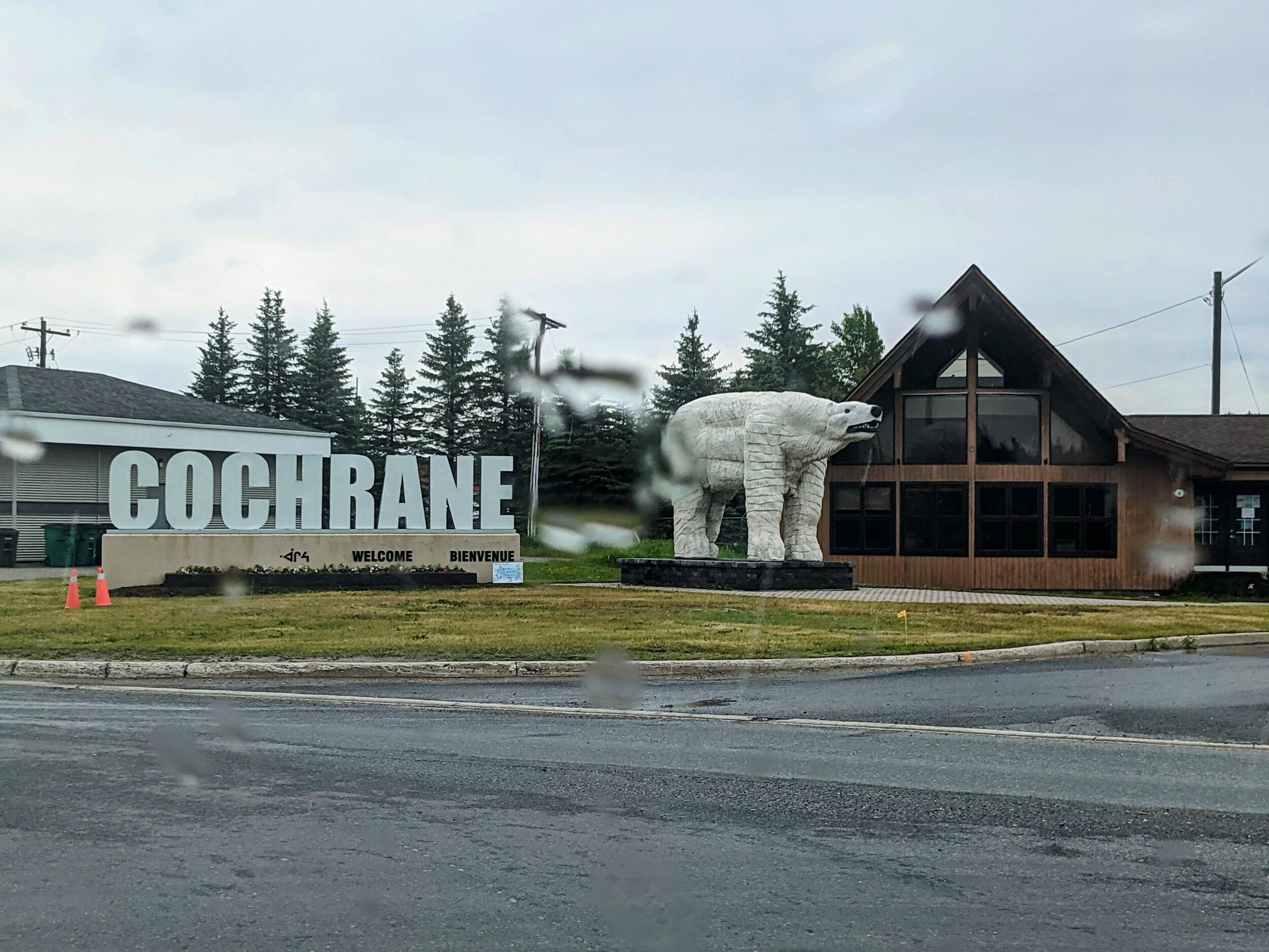
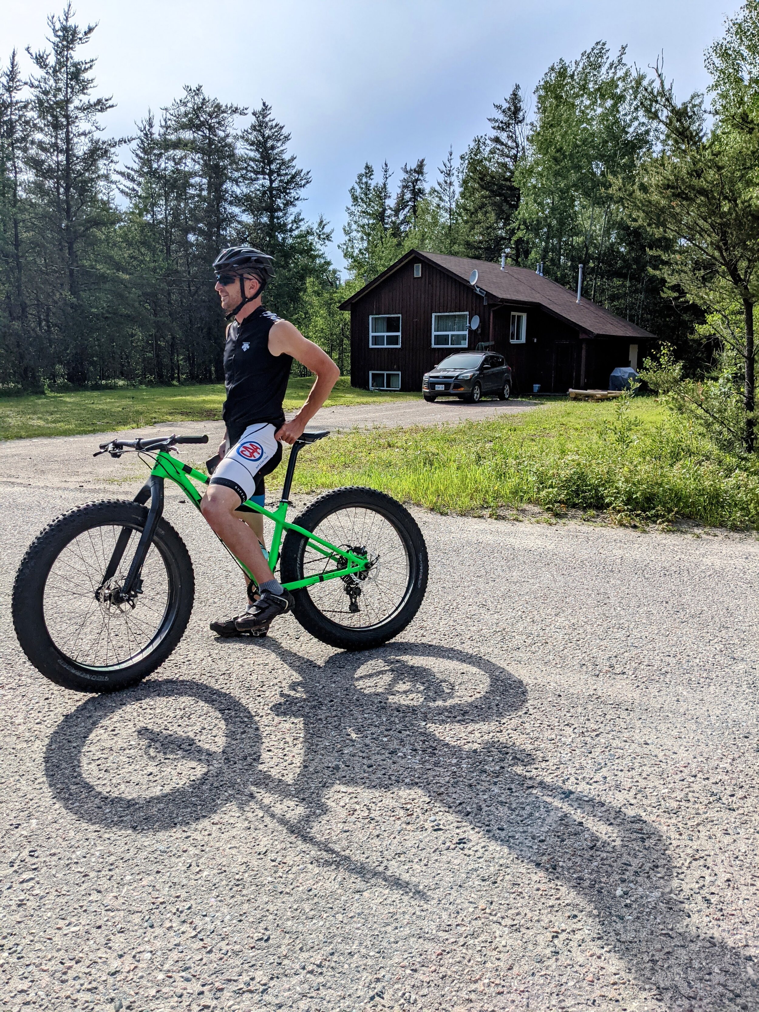
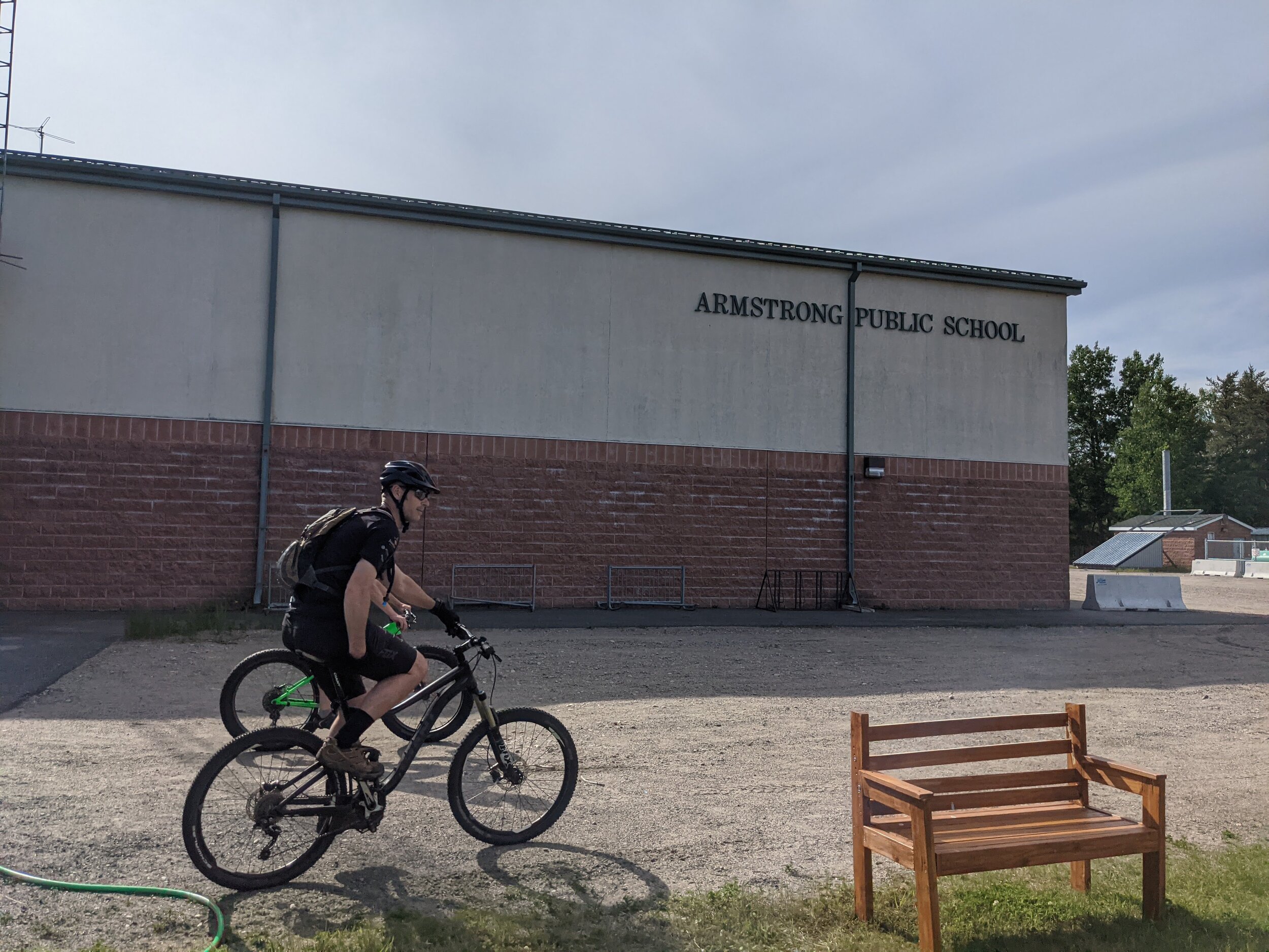
After a week and a half at home Ride Smart staff headed North again. This time we opted to take the Highway 11 route through Cochrane and set out with new t-shirts and new destinations. The first stop was Armstrong (Also known as Armstrong station) about 3 hours NNE of Thunder Bay. We met with a very keen teacher at the local elementary school who has built about 5 km of mountain bike trails right in the town. He offered to take us for a ride later and we couldn’t resist. We also met with a youth worker and band council representative from Whitesand First Nation, a community that abuts Armstrong and they were enthusiastic about having the program in their community in August!

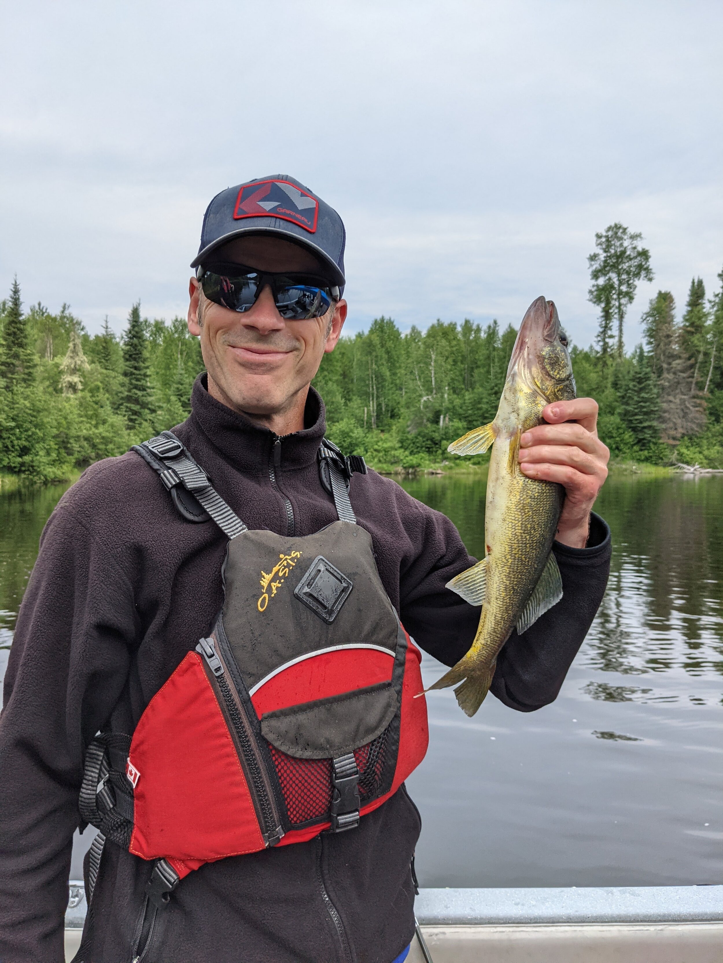
The following day we headed south to Gull Bay First Nation to meet with a Band Council representative and offer pop-up repairs and do some short rides with youth the dozen youth that showed up. We repaired 5 bikes as well in the short time we visited and will be back in August to deliver a full day or two of programming.

After catching a few fish for dinner, we headed for Red Lake the next morning, but not before stopping in Thunder Bay to get (fingers crossed) our last Covid test of this pandemic so we could safely enter Pikangikum to help get the bike program rolling again for the season.

Pikangikum Bike Program

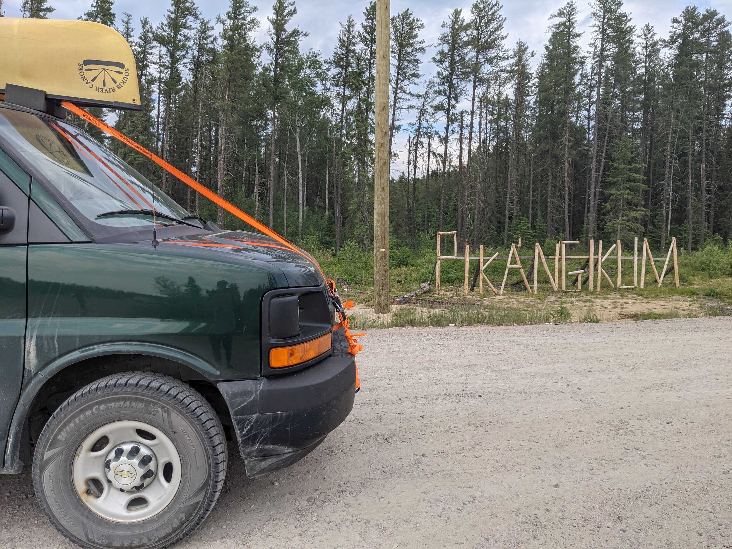
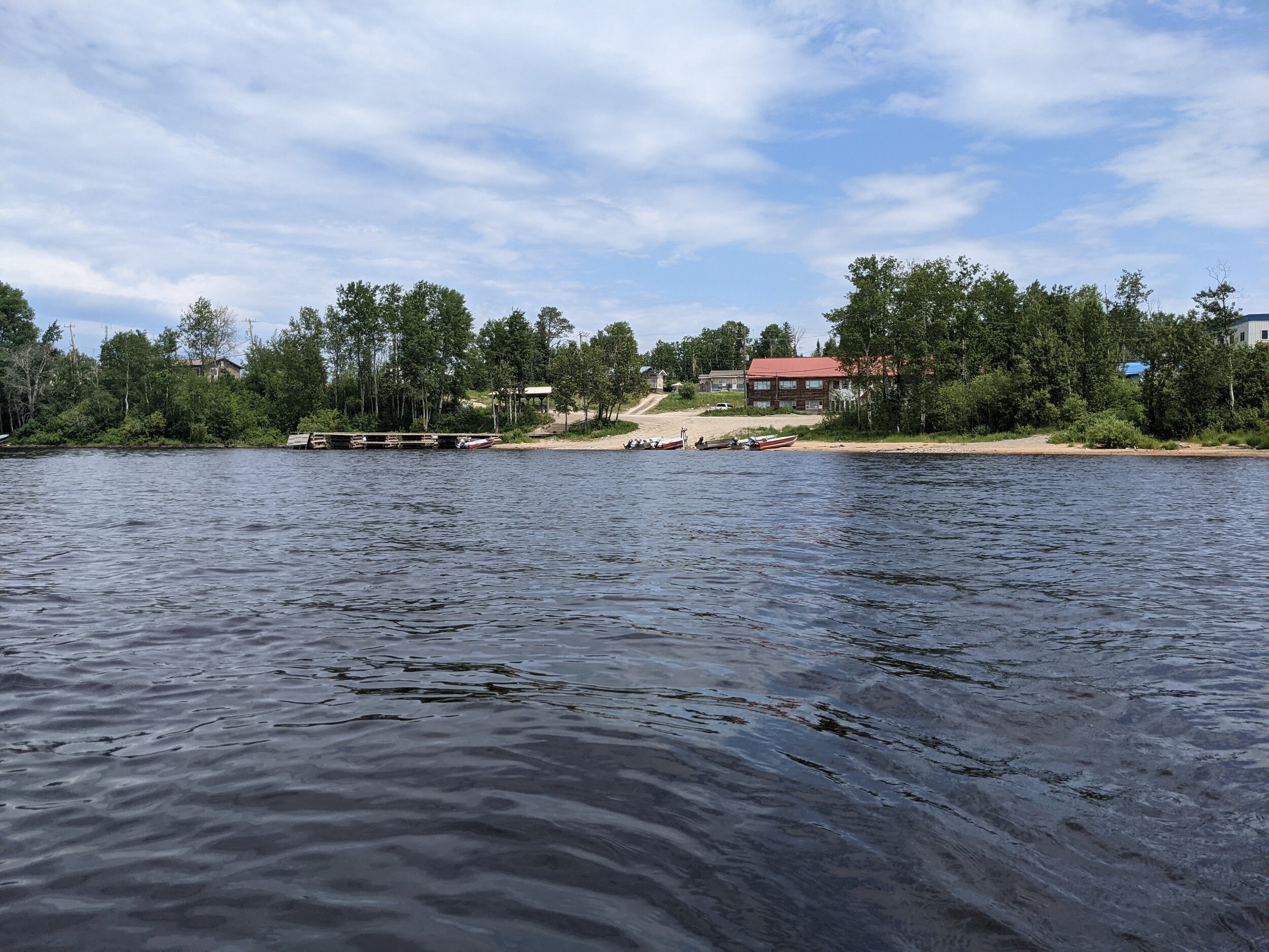
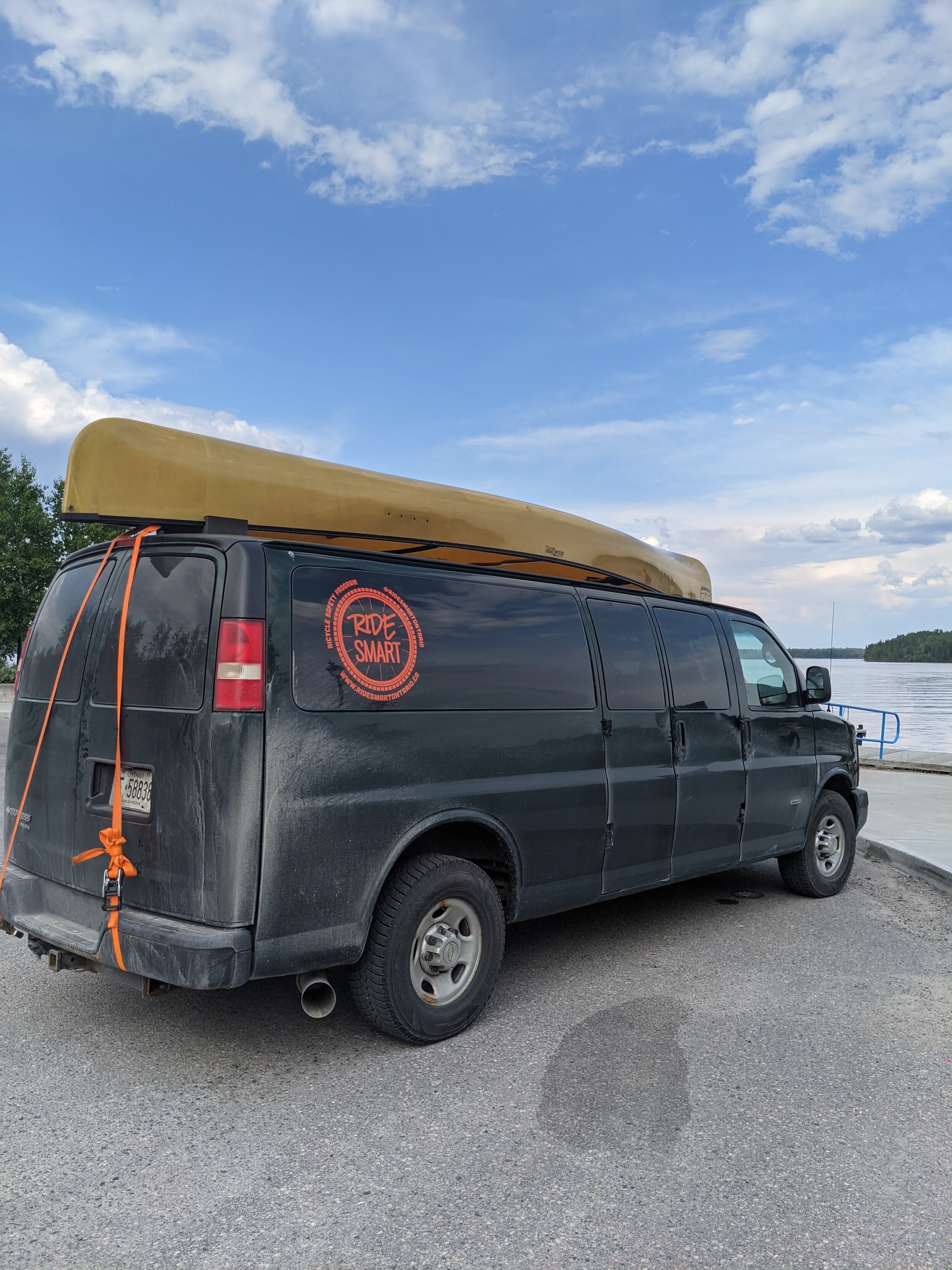
In the past, our partnership with the Ontario Provincial Police has allowed us to fly straight into Pikangikum, but things did not work out for flights this time. This provided a challenge and a great opportunity, to paddle a canoe from the end of the all-weather road into Pikangikum. The majority of this route we had ridden on fat bikes for the Ice Road Challenge in 2020 so it was great to see it from the water rather than the ice! What looked like 12-15km on a topographic map ended up being 19km of paddling so the paddle in took about 3 hours and 20 minutes, an overall rewarding experience. Thanks to Goldseekers Outfitters for providing us with an excellent, lightweight, Kevlar canoe that was a dream to paddle; think the ‘carbon road bike’ equivalent of canoes!

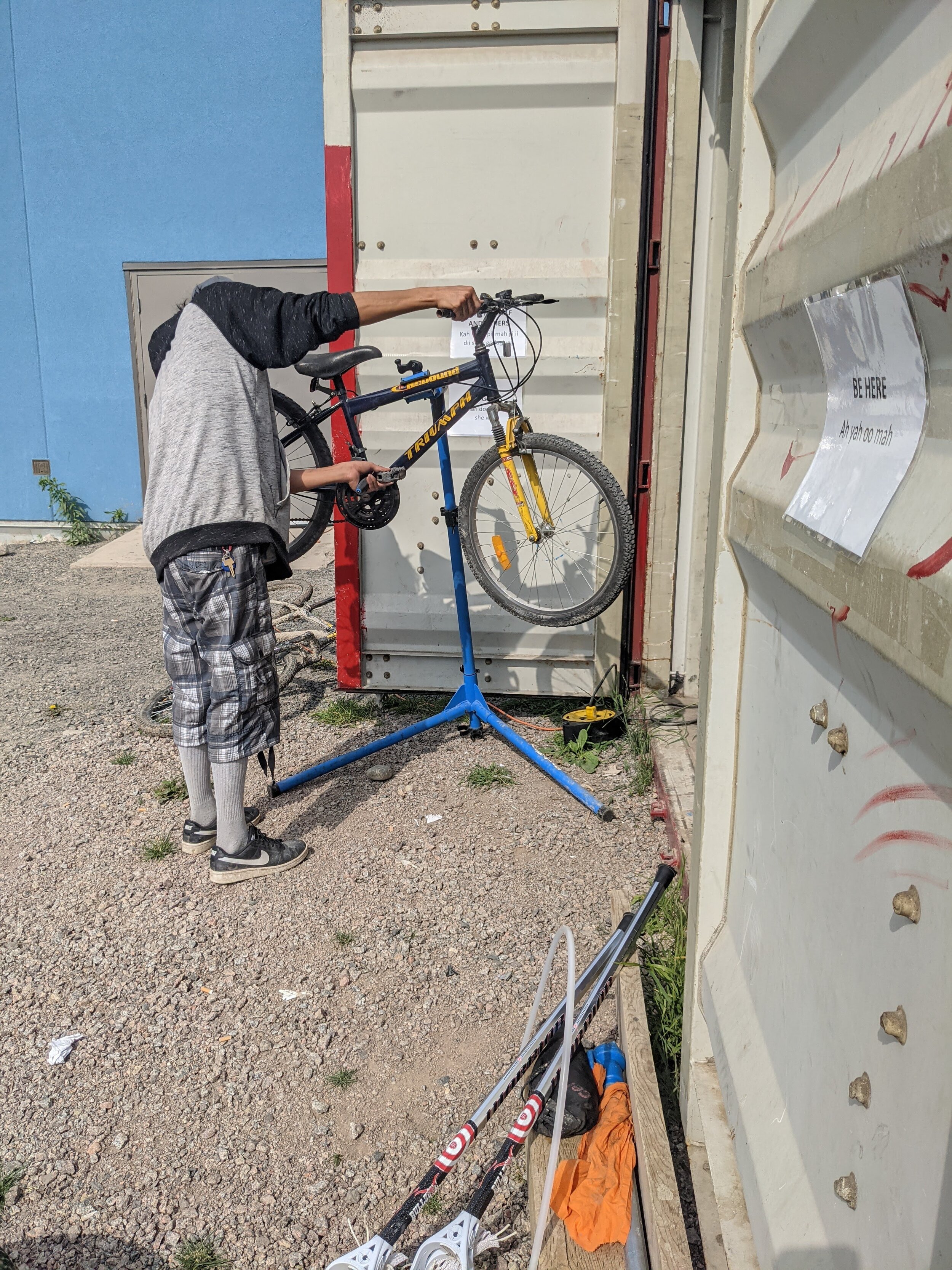
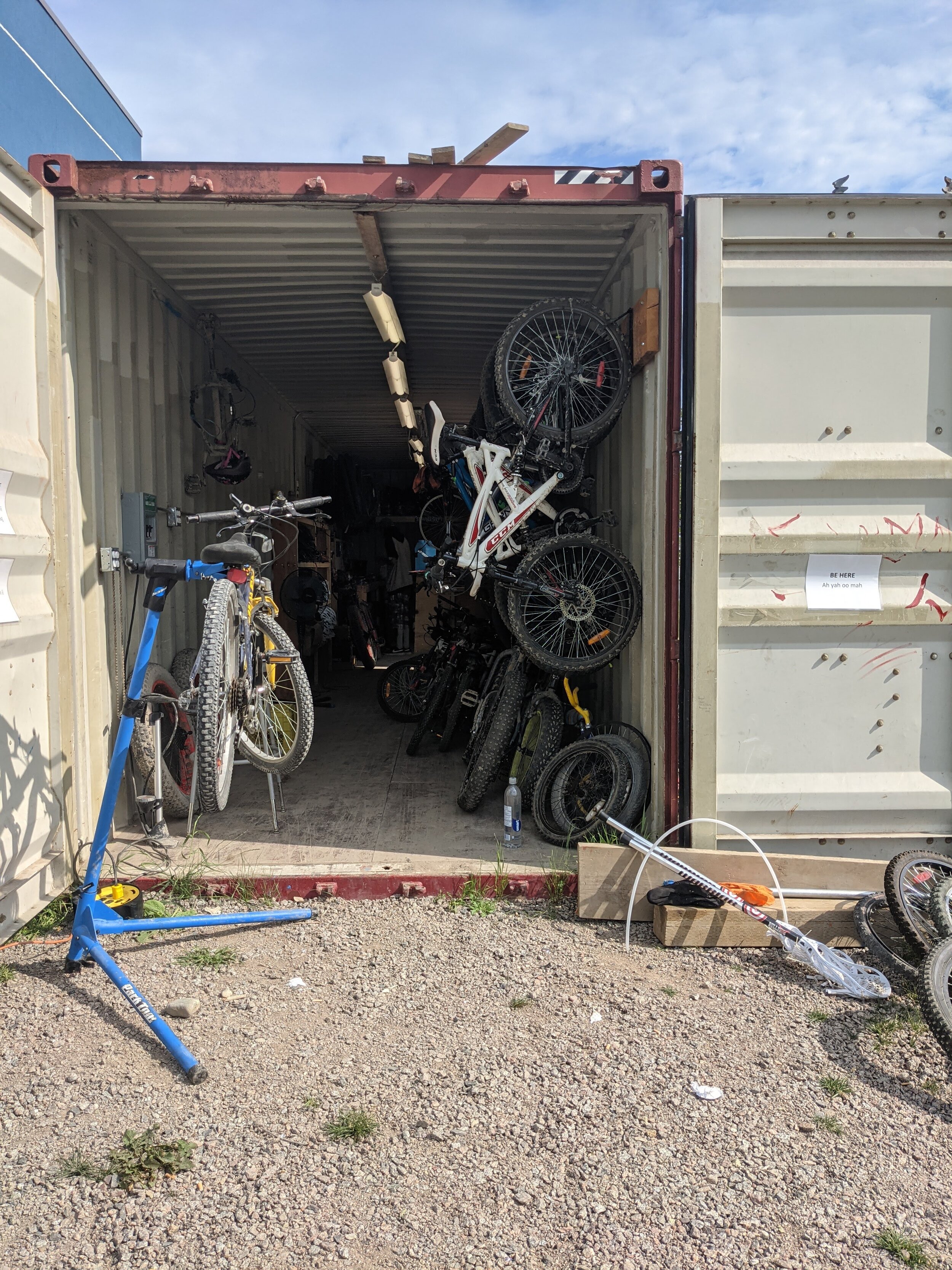
Once on the ground in Pikangikum, we headed to the shipping container shop and found Rusty had already got a head start on tidying things up and getting bikes ready for this season. We jumped in to help with tune ups and organizing, and made a list of parts, accessories, and tools to ship north to make things run even smoother. We were also able to connect with Public Works to get the second, smaller shipping container full of bikes moved over to live beside the bike shop.

With the bike shop and program in capable hands of Rusty and Tony (both have worked with the program before), we reloaded our canoe and paddled back to our parked van. This time we made the trip in under 3 hours, whether this was due to better navigation, a tail wind, or a determination to make it to Thunder Bay before we slept, no one will ever know, but Strava proves that it did happen.

GarminConnect_20210706-165015(1).jpg

We did in fact make it to Thunder Bay that night, slept in the back of the van for 3.5 hours and continued straight home to Southern Ontario.

A successful trip – 4700km later…

Our second trip north was extremely beneficial from a planning perspective as it provided face to face meetings with new partners and allowed us to connect with Rusty and Tony as summer staff for the Pikangikum bike program. Our fundraising efforts from the Ice Road Challenge and a generous donation from the Cataraqui-Kingston Rotary Club will support these summer positions and provide continuity for the Pikangikum Bike Program. The Pikangikum band council through summer student employment has also provided two summer staff to the program giving the flexibility for some staff to remain at the bike shop while others head out for rides in the community and on local trails.

Map of our route

Escarpment Rail Fail: Riding Route #9 The Escarpment Rail Trail

As per the city website, this is a 9km, 1hr easy ride that goes between Corktown Park and Mountain Brow Blvd, sort of across from the Albion Falls viewing platform.

Screen Shot 2021-06-18 at 1.20.18 PM.png

From the city website:

Connection points

Downtown: Corktown Park at Ferguson Ave./ Young St.

East Mountain: Mountain Brow Blvd./ Limeridge Rd./ Arbour Rd.

Route design

Easy: Paved trail, gradual slope

Take care crossing Wentworth St.

City transit access

Downtown: many HSR Routes

East Mountain: Route 21, Route 22 nearby

Inter-city transit access

Downtown: Hamilton GO Centre (GO Transit, Coach Canada, Greyhound)

Our Ride:

Ridden by: Rebecca

Rebecca is “too cool” for social media so here’s Ron, her dog.

Rebecca is “too cool” for social media so here’s Ron, her dog.

Rebecca pretends to be in law school, but we all know she's a New Hope lifer. She has been a programs coordinator and mechanic for 6 years.. or 60. We've lost count at this point. Rebecca likes riding gravel bikes, mountain bikes and climbing big rocks.

Our name for the route: The Escarpment Rail Fail

This route is 8.3km each way. It can be made a "loop" if you continue on Mountain Brow Blvd for about 100m to the Rail trail access. This isn't so much a loop as just riding back the way you came while avoiding the stress of getting passed by cars going 70 in a 30 zone. This route so far has the most minor climbing at 95m of elevation when done Corktown to Albion. It took Rebecca about 30 minutes.

Is it easy?:

This route would be genuinely easy with 10/10 for leisure, commuting and accessibility if it stayed on the rail trail the entire way to Albion Falls. The rail-trail portion of the route is excellent for families and beginner cyclists. Starting from downtown, it is predominantly an uphill ride. Still, the slope is relatively gradual. Going slowly and taking breaks at one of the numerous lookout spots will make it enjoyable for all skill levels. It is one of Rebecca’s favourite sections of city biking. Additionally, the Rail Trail also often acts as a nicer way to commute between downtown and the east mountain by bike. The city website says to take care crossing Wentworth street; this is now easier with the new pedestrian crossing they installed last year but do take care as cars coming down the mountain still regularly run that red light.

A very nice ride up the escarpment.

A very nice ride up the escarpment.

One of the main things impacting whether this is an "easy" route is the routing choice made to take Mountain Brow Blvd rather than the Rail Trail to get to Albion itself. As an experienced downtown cyclist, even Rebecca felt her stress levels rising as cars close passed her, going well over the posted speed limit. Mountain Brow Blvd has only a partially paved shoulder for bikes and pedestrians to share. If cyclists decide to take the lane, their curvy and narrow shape with speeding cars tends to harsh the mellow obtained on the Rail Trail. Rebeca felt it would be unsafe to take kids or beginner cyclists onto that portion of Mountain Brow Blvd, especially if it was a busy waterfall time like evenings or weekends.

Was it well marked and easy to find/stay on?

That’s the end. Its literally a small sign in the middle of a road.

That’s the end. Its literally a small sign in the middle of a road.

If starting at Corktown park, the beginning is straightforward to find. The turn off the rail trail onto a side path that leads you to Mohawk at Mountain Brown isn't marked, but it's also the only major turn, so it's easy enough to figure out looking at the map. The end of the route and the beginning at Albion are just small green bike signs on the shoulder that say "start" and "end," so if you aren't looking for them, you might miss them.

How was the infrastructure?

“Paved”

“Paved”

Calling the rail trail a paved trail is somewhat generous as the path requires serious maintenance in several spots. It's still a reasonably comfortable ride with a hybrid or a bike with larger tires, though. The infrastructure for anything but cars on Mountain Brow Blvd is entirely missing. The shoulder is inconsistently paved and also has pedestrians in it. At the same time, the lanes for traffic are incredibly narrow and winding, with a solid yellow line dividing the lanes for the majority of the road. The speed is lowered from 50-30 over that stretch. Still, cars were aggressively overtaking Rebecca, who was averaging 25km/h on that stretch of the ride. For infrastructure and infrastructure maintenance, Rebecca scored this ride a 4/10. The Rail Trail likely needs to be switched to gravel since most of the pavement is torn up and parts are splitting and sliding down the escarpment.

OK but no shade I love this crossing light.

OK but no shade I love this crossing light.

Additionally, if cyclists are going to be routed on to Mountain Brow Blvd, it needs infrastructure to ensure the road can be shared safely between cars, cyclists, and pedestrians. Everyone in the shop agreed that they would never take that road to get to Albion Falls. The four points were primarily given for the pedestrian crossing light installed across Wentworth street. Still, there does need to be a red light camera installed there since cars run it frequently.

Overall takeaways and recommendations: 

Draw how you felt at the end of this ride, Rebecca.

Draw how you felt at the end of this ride, Rebecca.

One of the primary takeaways of this route is that the Rail Trail is a treasure of cyclist and pedestrian infrastructure in the city. The ride is picturesque in every season. This is unfortunately dampened by the nightmare that is riding on Mountain Brow Blvd, especially when the Rail Trail continues along beside it to the same destination. This route had the feeling that it had never actually been ridden before it was posted.

  1. Invest in putting better pedestrian and cyclist infrastructure on Mountain Brow Blvd. It is a beautiful road to ride on, but if you are not keeping up with traffic going 60-80km/h, it is a somewhat stressful experience. Or simply keep the route on the Rail Trail the whole time.

  2. Spruce up the Rail Trail. She deserves it. But by spruce up we mean probably switch it to just gravel like the Chedoke Radial Trail since that seems to be the better medium for surviving on the escarpment.