Ride Smart Travels Across Ontario

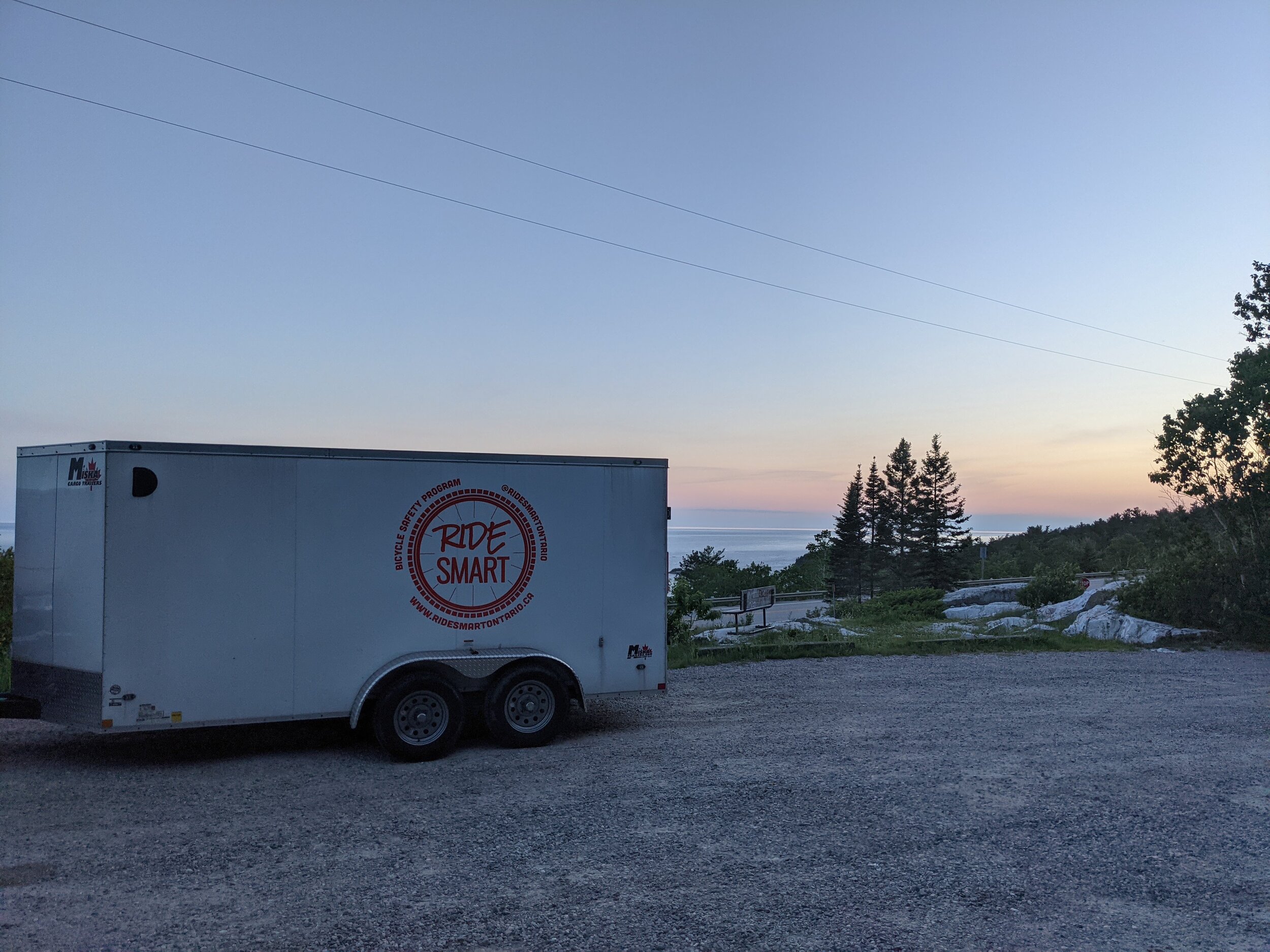
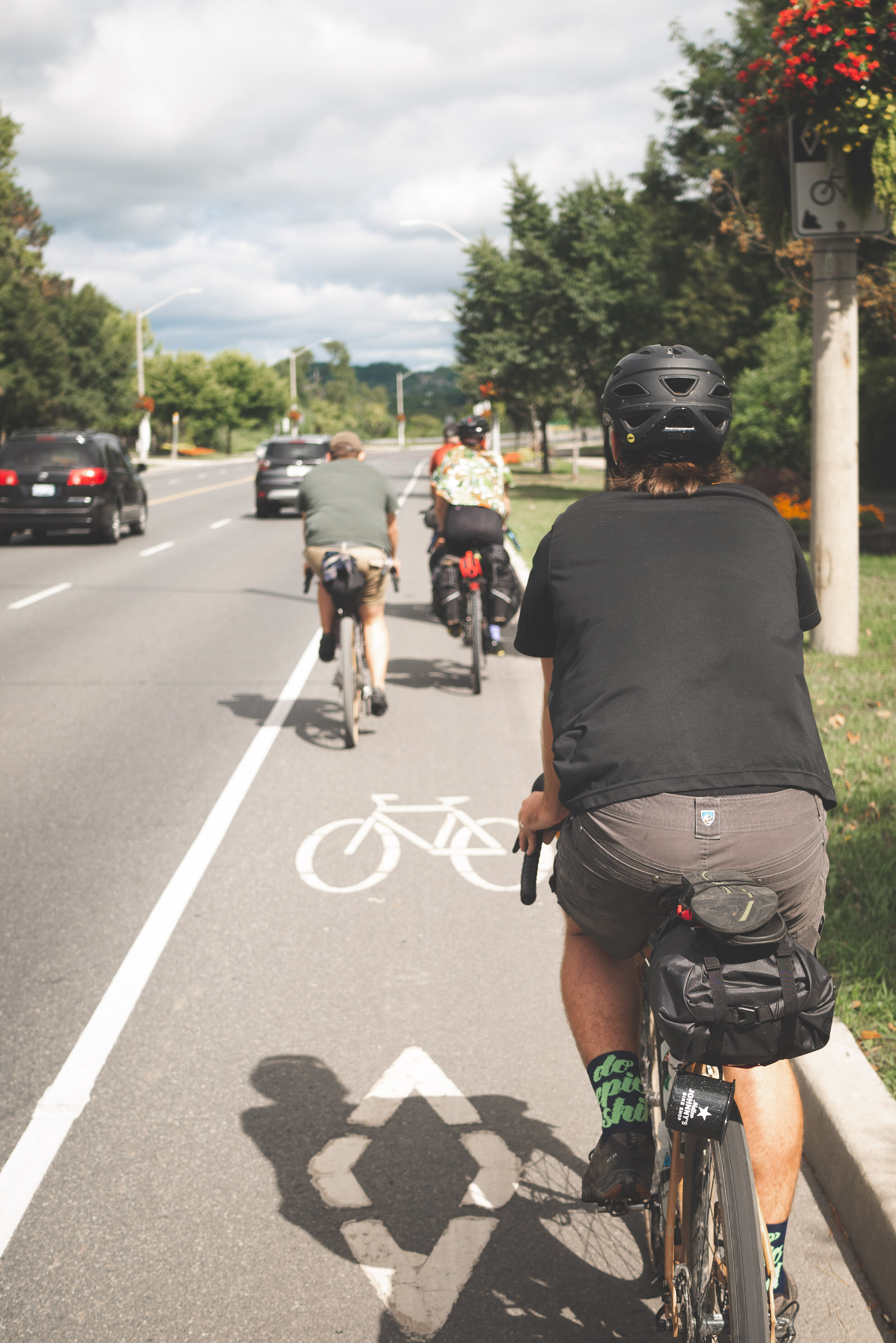
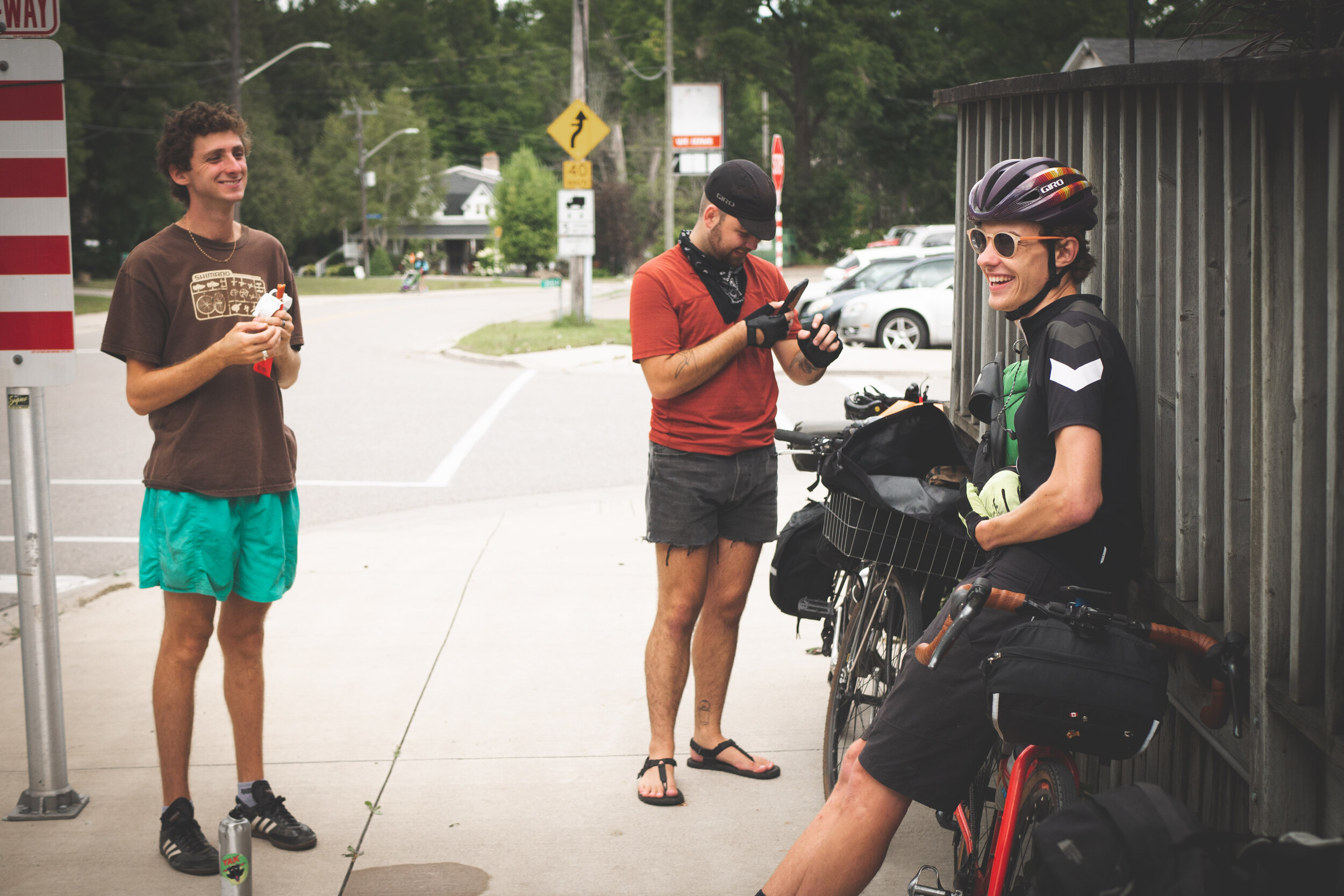
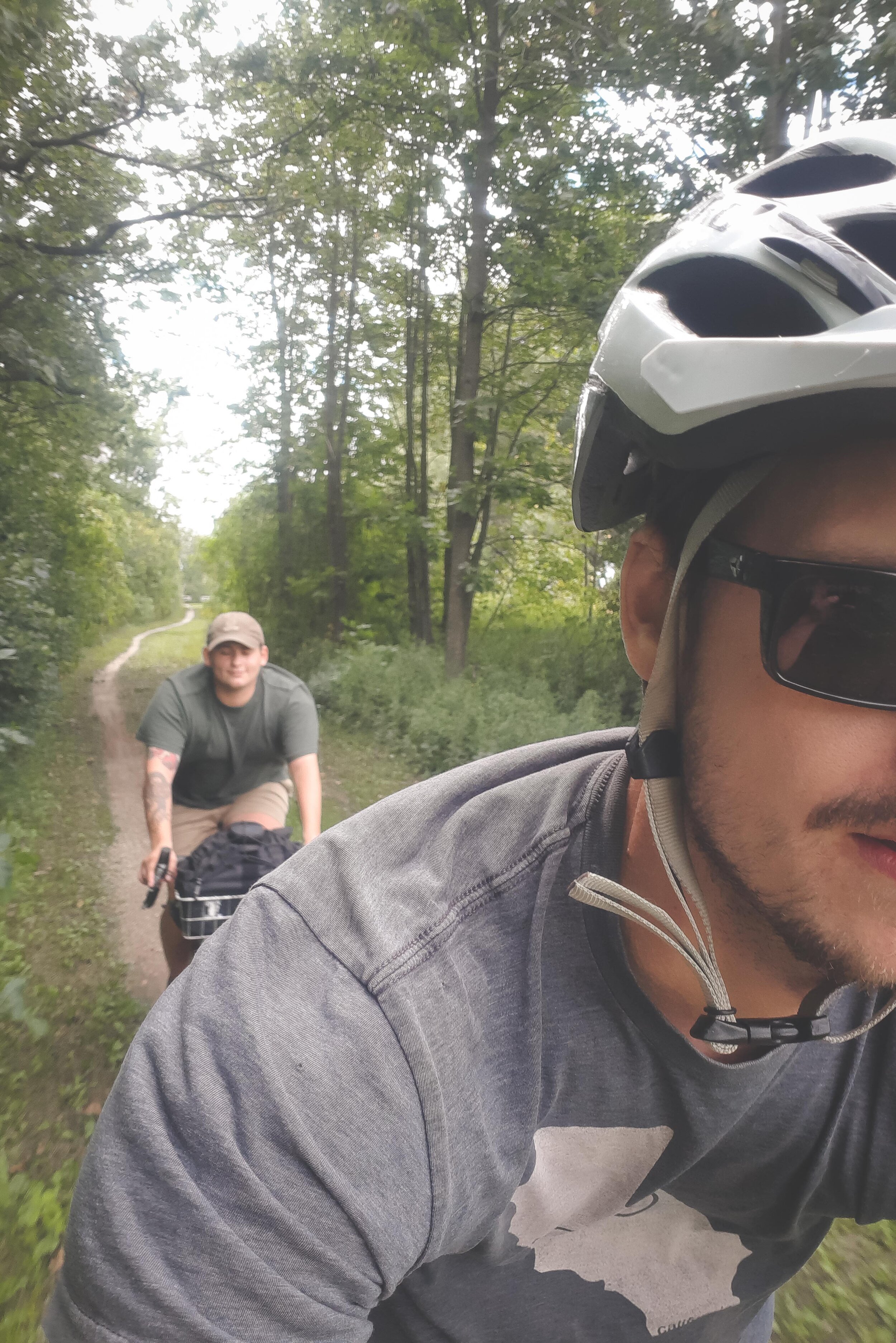
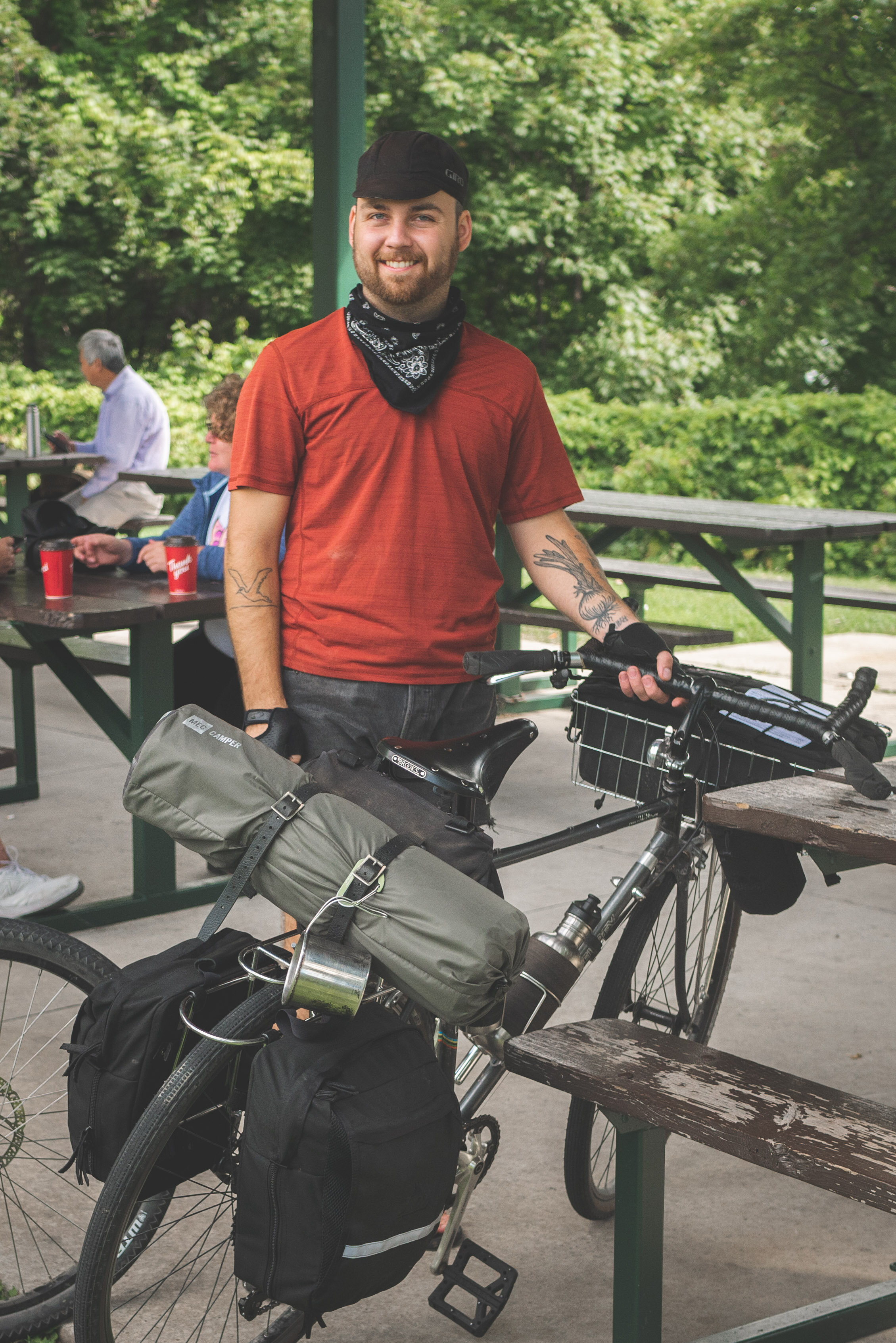
As the province has started opening back up, our Ride Smart program leads (Andrew and Adam) have been hitting the road to promote our cycle education program, and we mean really hitting the road! From Sioux Lookout, to South River, Parry Sound and then Armstrong for the last week of June. Along the way they’ve been building partnerships and connections that will allow the program to be delivered in new communities!
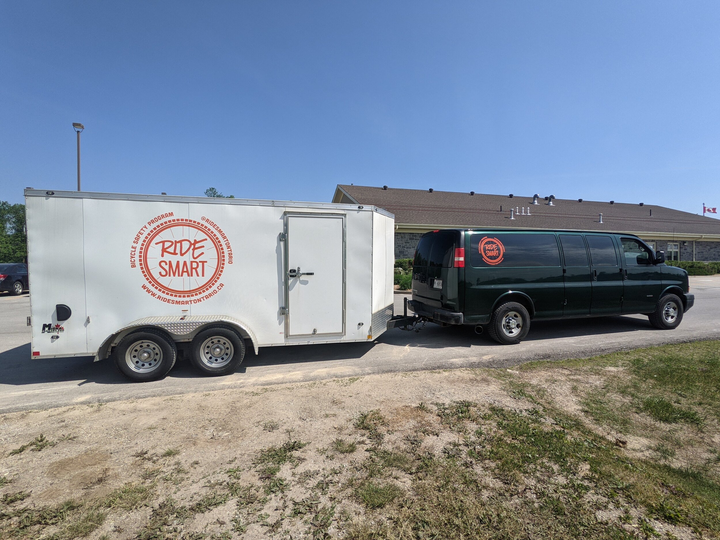
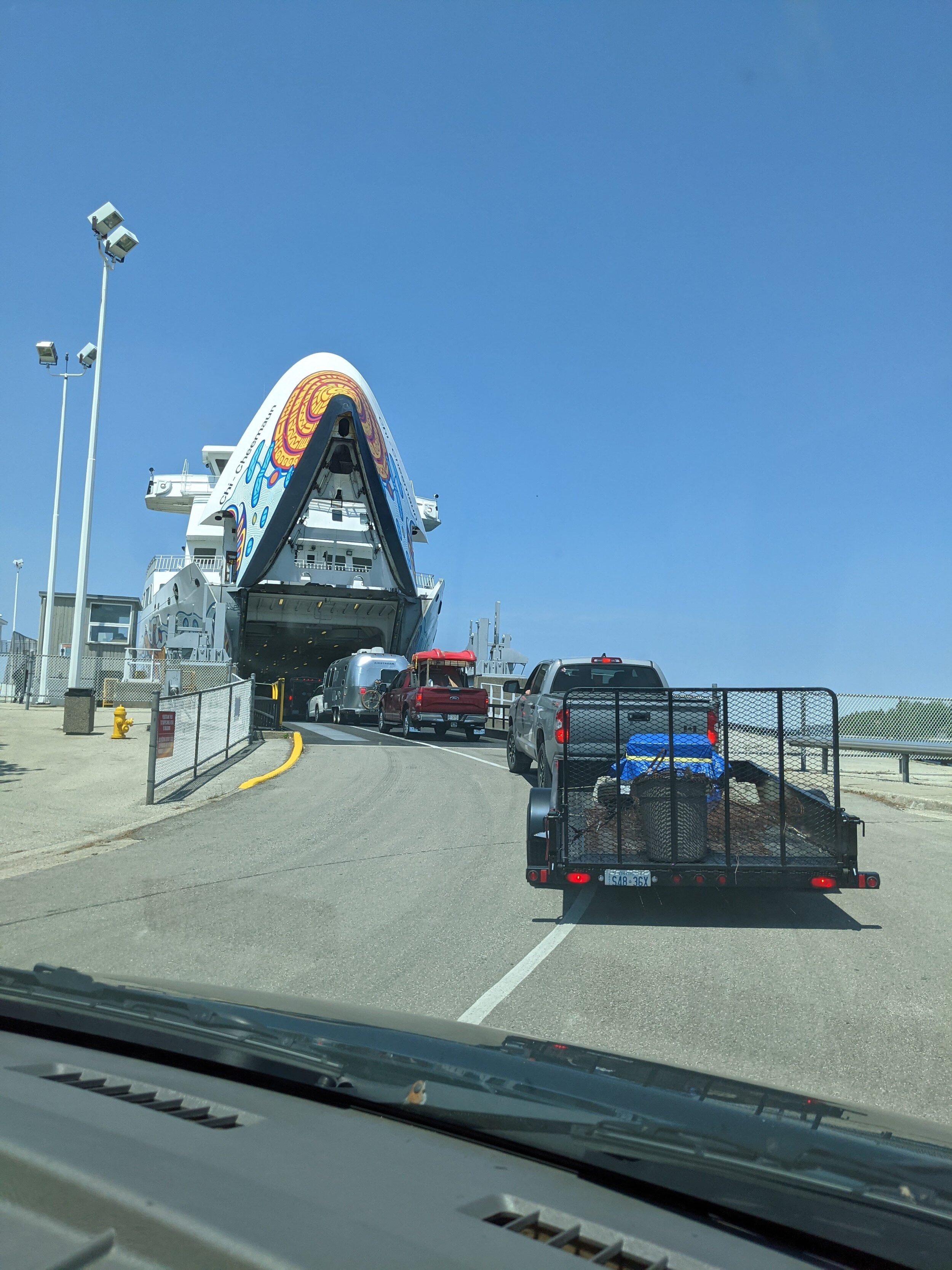
Sioux Lookout will host the Ride Smart program in July and then the team will continue northward with the trailer and program vehicle to Pickle Lake and North Caribou First Nations to offer the program in these communities! We have also built connections with an indigenous youth drop in centre in Sioux Lookout called WINKS which has some 40+ program bikes. Ride Smart will be able to support this program with additional repair training for youth and program staff and outfitting the group with proper repair tools to maintain their fleet of bikes!

A student practices riding a slalom course for the Ride Smart video.

A student practices riding a slalom course for the Ride Smart video.

The team has also spent three days filming digital content that will create a video of cycling fundamentals that teachers, volunteers and students will be able to use across the province to improve fundamental cycling skills.

Funding support for Ride Smart in 2021 has been provided by the Community Foundations of Canada Health Communities Initiative and Jumpstart Charities.

To follow along with the Ride Smart program as it goes across the province follow @RideSmartOntario on Facebook and Instagram!

Che-Okie-Doke: Riding Route #10 The Chedoke Radial Rail Trail

Chedoke Radial Rail Trail #10

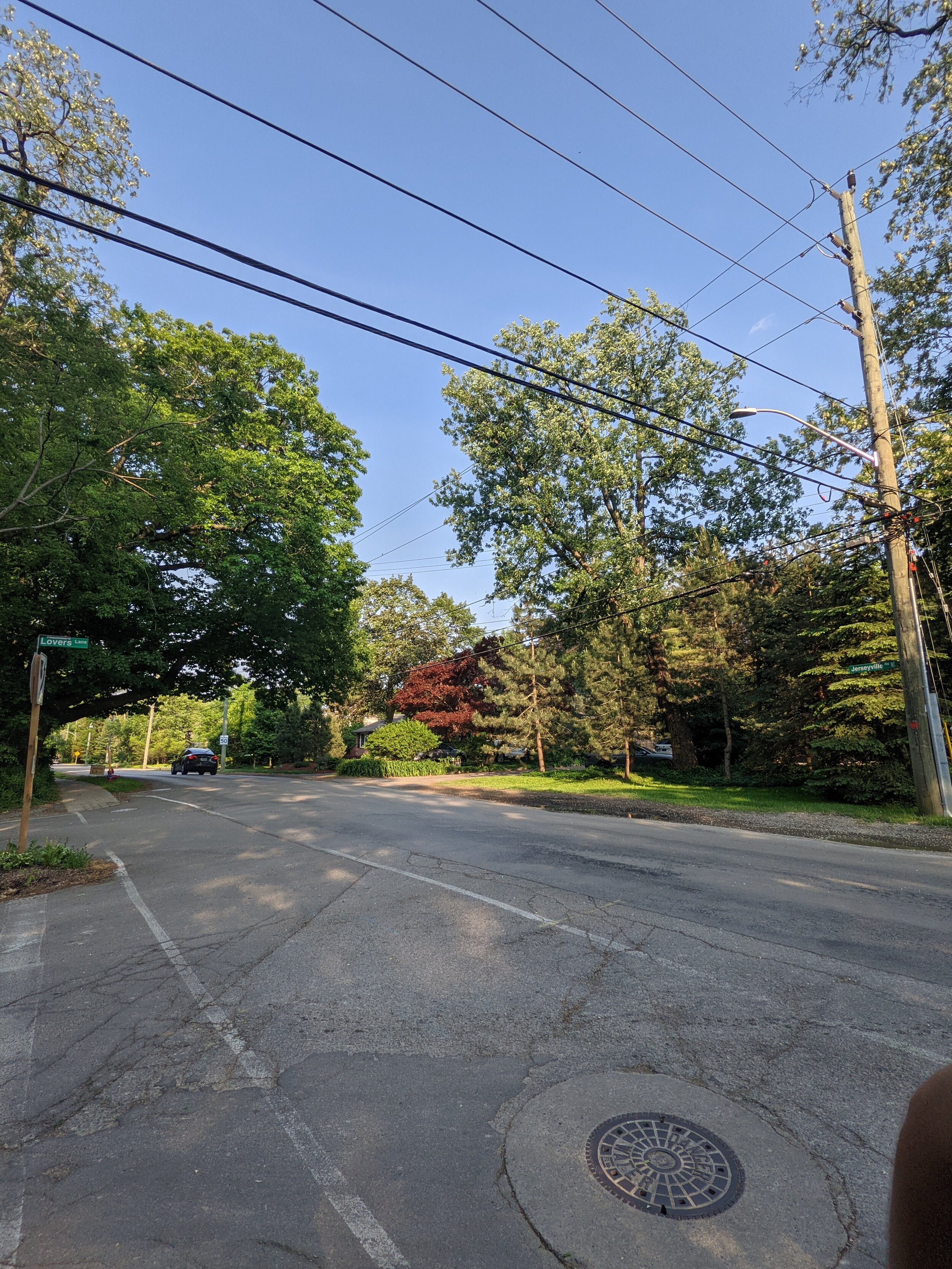
As per the city of Hamilton this is another “Easy” route. It's a 12km ride which goes between Corktown Park and Ancaster at Jersey Road and Lovers Lane [a lot of the rides start or end here and we can't figure out why]. Also again the city does not specify which of these is the ideal starting point. The city says it should take about an hour.

Screen Shot 2021-06-10 at 2.05.44 PM.png

From the city website:

Connection points

  • Downtown: Corktown Park at Ferguson Ave./ Young St.

  • Ancaster: Wilson St./ Fiddler's Green Rd./ Lovers Lane

Route design

  • Easy: Combination of paved on-street and unpaved on Chedoke Rail Trail; stairs with trough crossing Highway 403. Northbound: no paved option west of Dundurn St.

  • Take care on Charlton Ave. westbound or on Herkimer St. eastbound and at Wilson St.

City transit access

  • Downtown: many HSR Routes

  • Ancaster: Route 16, Route 5C/ 5A nearby

Inter-city transit access

  • Downtown: Hamilton GO Centre (GO Transit, Coach Canada, Greyhound - lol RIP)

OUR RIDE 

Ridden By: Jack 

Last Known Image of Jack

Last Known Image of Jack

Jack is a New Hope Mechanic who was described by a customer as "a gentleman in a cycling cap and rather short shorts." He likes under-biking, bikepacking, and bespoke Finnish hammocks. 


Our name for the route: Che-Okie-Doke

This route is 12 km each way. When done East to West, it has 193m of climbing [aka entirely uphill]. When done West to East, it has around 60m of climbing. There is no nice way to make this route into a loop without tripling or quadrupling the KM's, so for this one, Jack just turned around in Ancaster and rode back downtown. Riding East to West took about 45m.

Is it actually an easy ride?

We should also mention its not just “a couple steps”

We should also mention its not just “a couple steps”

The ease of this route is highly dependent on direction. If riding East to West, Jack scored it at a 4 out of 10 for "easiness" because the entire ride is uphill from this direction. It also includes riding up Dundurn street, which is a notoriously steep hill with a 16% grade that most beginner cyclists have to walk. If riding East to West, the route got an 8 out of 10 since it is predominantly downhill. Although regardless of direction, you have to carry your bike up and down the stairs at the bridge that crosses the 403, so some physical fitness is required. 


Was it well marked and easy to find/stay on?

If you guessed dont fully turn but go straight into that little unmarked pathway.. you’re right!
If you guessed dont fully turn but go straight into that little unmarked pathway.. you’re right!

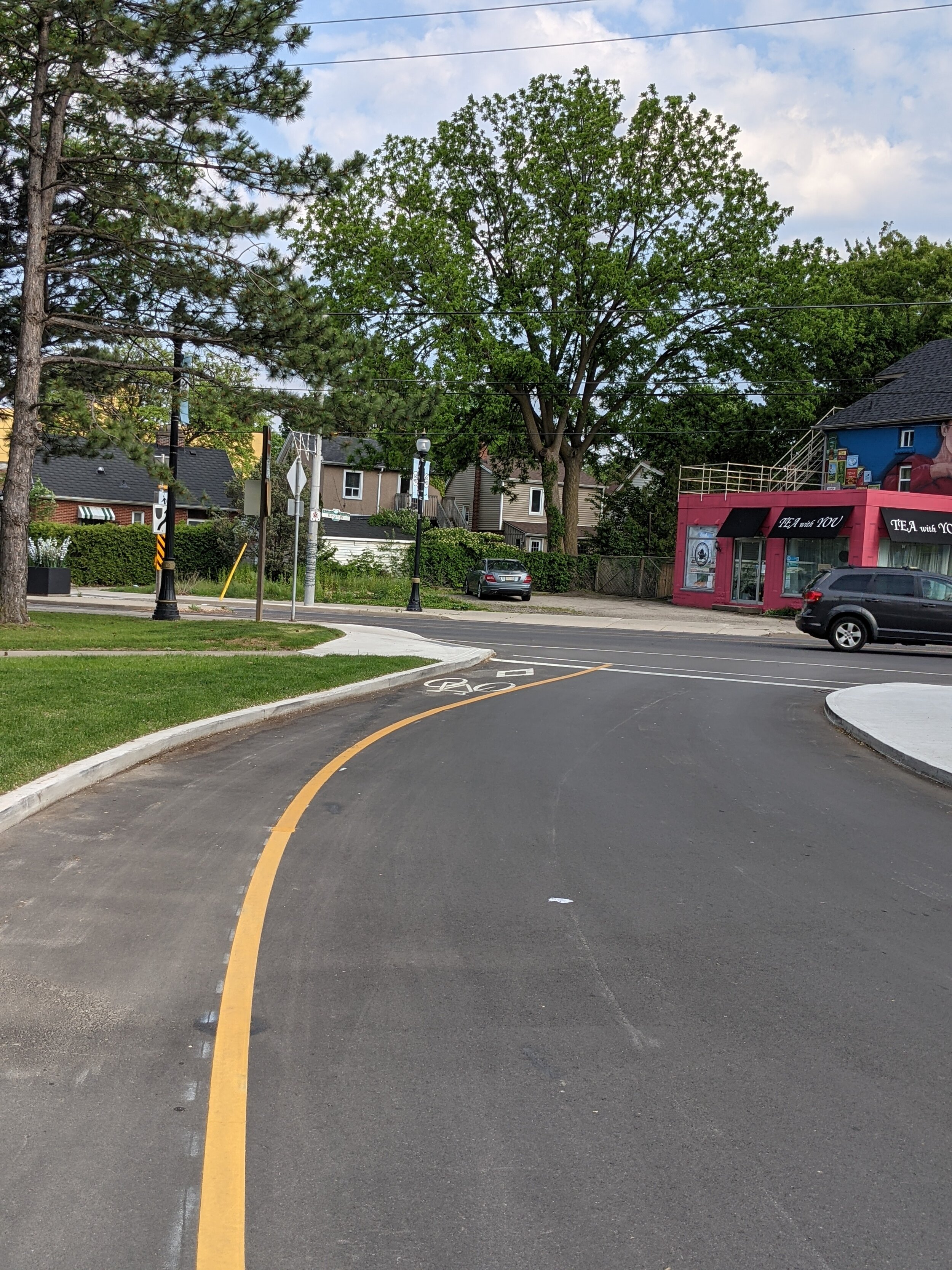
The start points of all of these routes are easy to find. This route got a score of 5/10 for navigation, with the downtown portion being relatively well marked and the Ancaster section being poorly marked. One significant issue was at the Mohawk/Filman intersection. Here, the lights don't change for cyclists, so you have to dismount to press the walk button or run the light, and the path you are supposed to get on isn't marked and looks like someone's driveway rather than a cycling path. Jack initially missed this turn and ended up lost in a suburb for 10 minutes before realizing the little path was part of the bike route. 


How was the infrastructure and routing?

WHO IS SHE

WHO IS SHE

Jack gave the maintenance level of the infrastructure a 5/10. Most of the roads were well enough maintained, with the Charlton bike lane desperately needing to be repaved [other staff who commute on this, and their butts agree]. The gravel section up the Chedoke radial trail is fairly average maintenance wise with one particular area of extremely deep loose gravel before the golf course parking lot. The top of the trail into Ancaster has also apparently been ripped up by quad bikes riding it when muddy with other washed-out sections to be aware of. The star of the infrastructure show on this route is the public fountain, which you’ll need after that ride up Dundurn.

The routing choices were the primary issue on this ride. Riding East to West, you are immediately routed the wrong way on Forest street. Additionally, if you are riding West to East, you are expected to know to hop up to Herkimer for the bike lane in the proper direction even though the map does not reflect this. It is noted in the "things to watch out for" portion by the city but is not adequately explained in our opinion. In addition, Jack indicated some abysmal routing choices when it came to road crossings, with the example that the ride has you make a sketchy left turn from Halson to Wilson in Ancaster when there is a gravel road path that connects those roads without requiring that on-road turn. Jack said this turn would be OK if you were alone or with other experienced riders but would be extremely unsafe with kids or beginners. Routing an "easy" ride up Dundurn is also unnecessarily aggressive, especially since the bike lane on Dundurn ends at Aberdeen (where the hill starts to get steep), and cars turning right on to Aberdeen have a tendency to cut off cyclists going straight through the intersection. 

Draw how you felt about this ride, Jack.

Draw how you felt about this ride, Jack.

Overall takeaways and recommendations: 

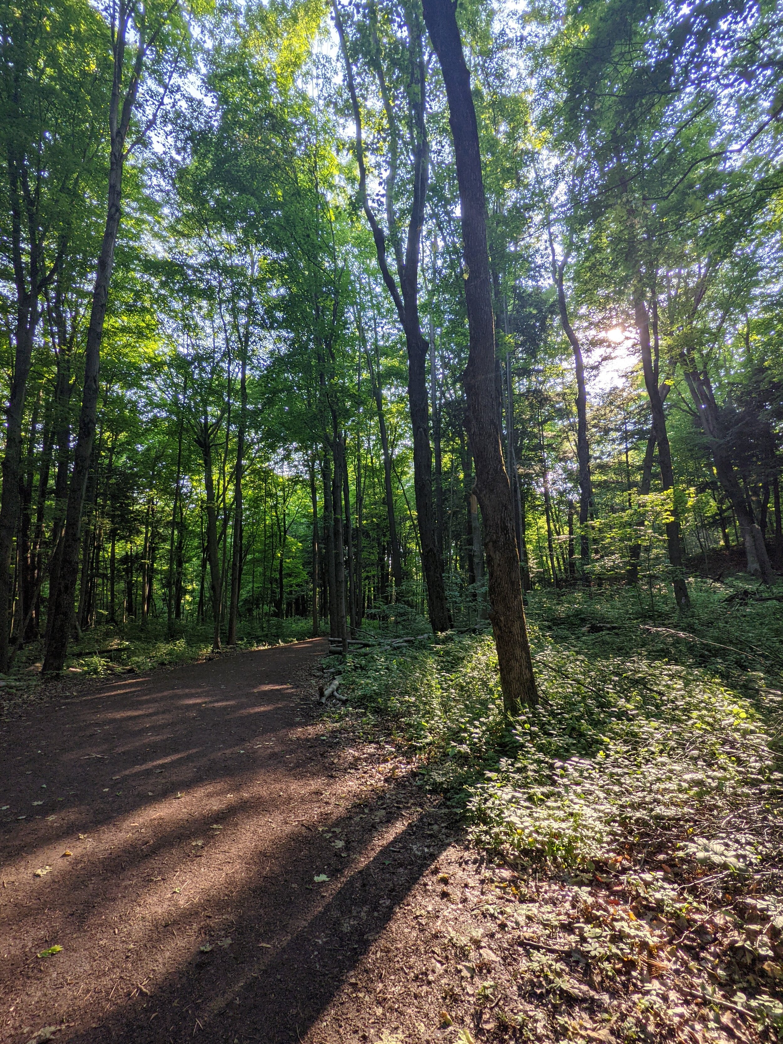
Similar to last review, there are some genuinely beautiful parts of this ride. Primarily the time spent on the Chedoke Radial Trail, and the Radial Right-of-way Trail in Ancaster. With better signage, and route planning (lookin at you highway 403 overpass stairs) this could be a super nice family ride. For a family outing we would definitely suggest cutting out the Ancaster section, and going from West to East to avoid spending an hour riding up hill with the kiddos.

  1.  Same as last time, MAKE IT A LOOP. Having routes being unidirectional adds the requirement of transportation from the ending spot or requires the rider to double the length to get back to the start. 

  2. Ride the routes before posting them; this would allow for better routing. For example, instead of going straight up Dundurn, you could route cyclists through Kirkendall south and access the Chedoke Radial Trail via the gravel path between Hillcrest and Dundurn, which allows for a less steep climb. Additionally, instead of turning from Halson to Wilson, stay on the radial right-of-way trail you were already on because it links up to Wilson in a safer way a block later. Finally, when route planning for downtown specifying the route going east vs going west is essential as there are a ton of one-way streets. 

  3. Give a warning about the stairs crossing the 403 or cut the end of the ride at that bridge; the trip into Ancaster made no sense, especially since, same as the last ride, it drops you in a random residential neighbourhood. Our current theory is that the person who made the routes lives in the area. 


Jeckyl & Hyde: Riding Route #6(66) Dundas Valley and Westdale.

As per the City of Hamilton, this route is listed as easy. It is a 21km route between Bayfront park and Ancaster at Jerseyville road and Lovers Lane. The city does not specify which of these is the appropriate starting point. 

The City of Hamilton’s Map for the route - follow the #6.

The City of Hamilton’s Map for the route - follow the #6.

From The City of Hamilton’s website :

Connection points

  • Ancaster: Wilson St./Fiddler's Green Rd./ Lovers Lane

  • Hamilton Harbour: Bayfront Park, Bay St./ Barton St.

Route design

  • Easy: Combination of on-street and trails; unpaved on Rail Trail in Dundas Valley; paved option between Ancaster and Dundas is Wilson St./ Old Dundas Rd

  • Take care on Sulfur Springs Rd. and on Dundas streets

City transit access

  • Ancaster: Route 16, Route 5C/ 5A nearby

  • Hamilton Harbour: Route 99 (seasonal), Route 4, Route 2 nearby

Inter-city transit access

  • Downtown: Hamilton GO Centre (GO Transit, Coach Canada, Greyhound)

  • Westdale: McMaster University GO Transit

Our Ride

Ridden By: Meredith Park 

Screenshot_20210605-121543_Instagram.jpg

Meredith Park is a long-time New Hope staffer. She works as a mechanic, Ride Smart instructor and teaches our Bikepacking 101-weekend course. She is an avid cyclist and recently completed the cannonball 300 (so she definitely likes long and challenging rides). She is also probably the only one of us who is still nice to people on the phone at the shop.


Our name for this route: Jekyll & Hyde.

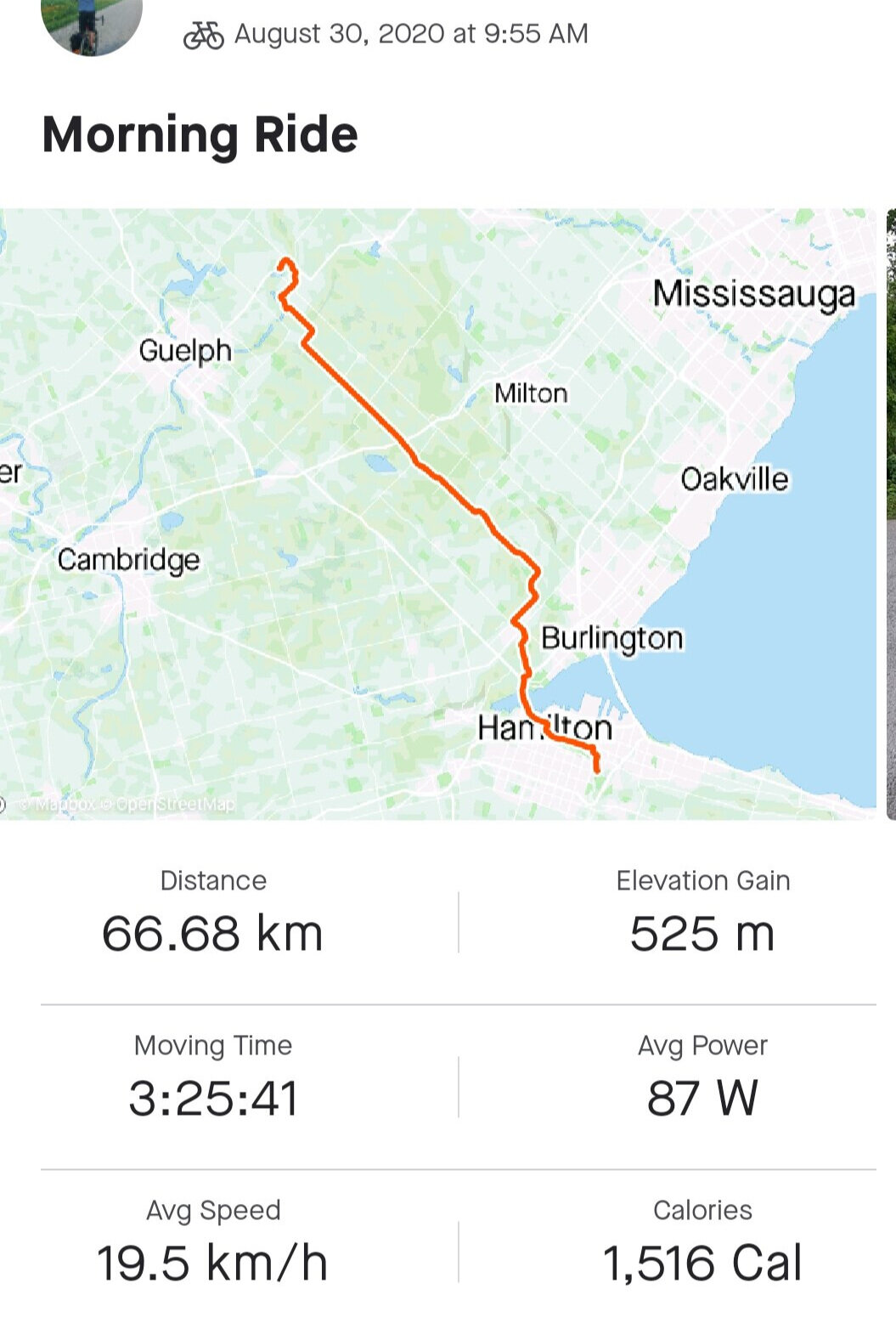
The route itself was 21km with 288m of climbing. The city description does not list the elevation gain on the route, only the distance. To make this a workable loop, Meredith ended up riding 35km. The city route took about 1h 20m, and the entire loop took about 2h. 

Is it easy?:

The elevation map from Meres Strava recording. This route is a lil’ spicy on the legs.

The elevation map from Meres Strava recording. This route is a lil’ spicy on the legs.

Rather than "easy," Mere felt that this ride would be more of a fitness ride for a newish/moderate cyclist. Someone who is looking for a fun, challenging ride to improve their cardio and technique. Although the route starts off leisurely at Bayfront Park, the Dundas valley segment involves several steep, rooty, and rocky gravel climbs, including a 1km climb up Sulphur Springs road at the end. The accessibility score of this route was a 4 out of 10, and the leisure score was a 5 out of 10, meaning this route may be too much for the average family on entry-level bikes looking to go for a nice ride. It may be easier if the starting point is Ancaster traveling into Bayfront Park.    

Was it easy to find and stay on?:

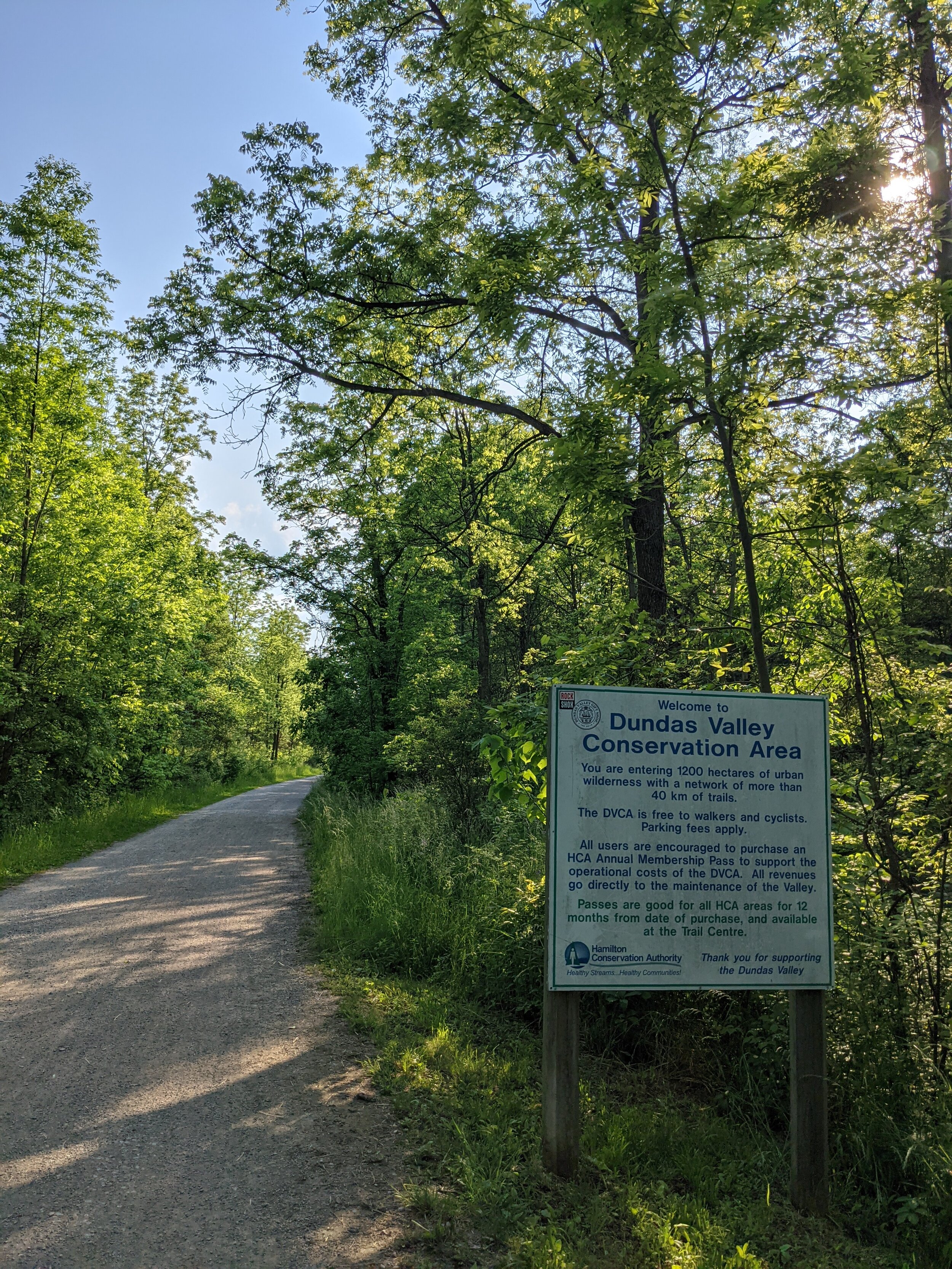
One of the primary problems with this ride is that you cannot open the interactive map provided by the city on a cellphone browser. Instead, you must rely on the city's PDF cycling map, which has part of the route covered by the legend and inconsistent street names, so you mostly navigate by guessing the shape of the route. They also do not have GPX files of the route to download. If you are unfamiliar with the city and, in this case, the DVCA, you will likely get lost on the Dundas section of the ride. This route received a 10/10 on how easy it was to find (if starting at Bayfront Park). Its navigation score was a 4.5 out of 10 because although the Bayfront and city portion of the ride are paved with bike lanes and signage, the rest of the route is primarily unpaved with no bike lanes and no signage. The primary issue with navigation on this ride involved stopping to try and figure out the city map repeatedly with little success, especially in the Dundas Valley.

How was the infrastructure?: 

I guess the ride is over now. Lanes done, lets go home.

I guess the ride is over now. Lanes done, lets go home.

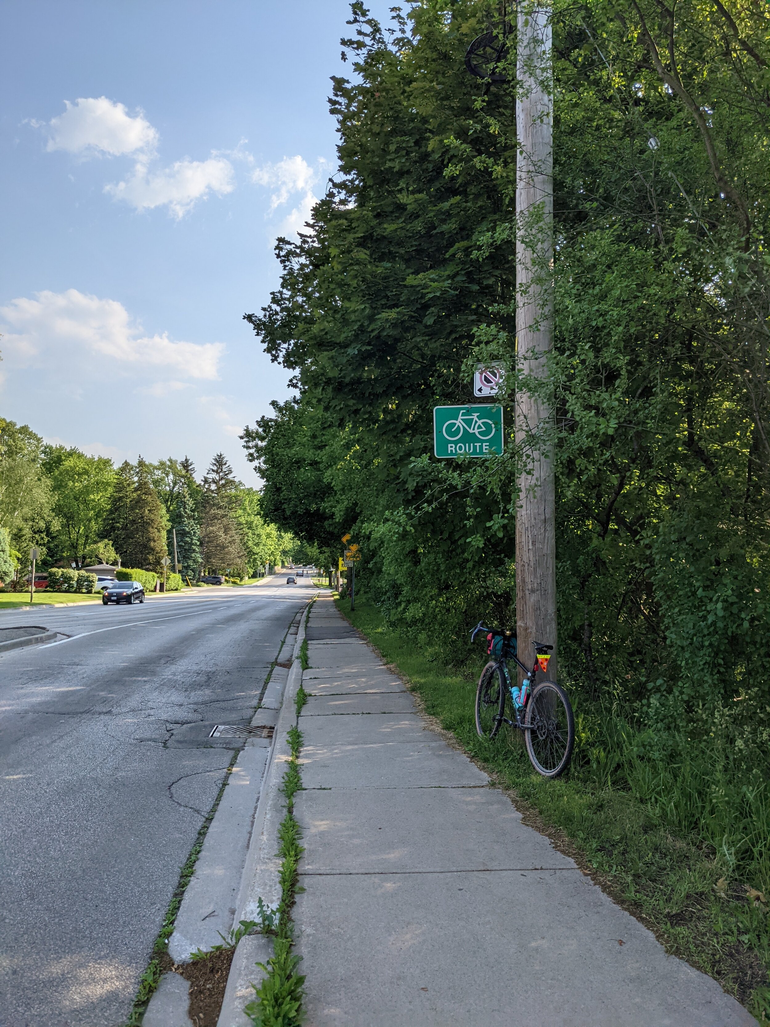
The trails and roads on this route were mainly in great condition. However, some of the bike lanes ended abruptly, and signage was highly inconsistent. Meredith rated the infrastructure at 8/10. Two notable failures of infrastructure involved Ogilvie rd and a new bike lane in Westdale. This route has you ride up Ogilvie rd in Dundas, which, although it has green bike route signs off to the side, does not have bike lanes and cars have a tendency to be aggressive to cyclists making their way up the hill slowly. If riding the route Bayfront -> Ancaster Meredith felt this would not be a beginner-friendly climb due to the hill's steepness mixed with the volume of traffic and lack of protected or marked bike lanes. The second notable infrastructure failure was in Westdale, where a new bike lane has been installed. Usually, this would be dope, but it's only about 20ft long and abruptly terminates at a parking spot.

Overall takeaways and recommendations: 

Let’s be real, rides through the Dundas Valley are always pretty, and rides around Bayfront are always enjoyable. Sometimes, however, putting two fun things together can ruin the experience of both. This ride is fun for a moderate cyclist on a decent bike, but Mere and the staff at New Hope would advise against doing it as a family or beginner ride. How can this route be improved? here are our top three recommendations:

Draw how you feel Mere.

Draw how you feel Mere.

  1. Make it a loop! The drop-off or start in Ancaster is incredibly confusing since it is primarily just a residential area (although there is a lovely ice cream shop a little down the road). Additionally, making bike routes lines rather than loops mandates using a car or bus to shuttle the cyclists to and from the ride. If the routes were planned as loops, they could be accomplished entirely by the cyclist without requiring planning around cars or bus schedules.

  2. Break it up! This route was called Jekyll and Hyde for a reason; the portion of the ride in Bayfront and Westdale was well marked, maintained and would legitimately be fun for a family or casual rider. The valley and Dundas sections of the ride were on an entirely different level than the Bayfront section. This half of the ride required higher levels of rider experience, and fitness and very likely could not be achieved on an entry-level bike while still having fun.

  3. "At least give us a sharrow or something" The lack of infrastructure on Dundas' many hills made this route less than beginner-friendly. This route should be changed to use the rail trail rather than routing through Dundas streets.

Summer Recap and Bike Packing Trip


Despite the world being turned upside down by Covid-19 the summer at New Hope Bikes has looked pretty normal. We had a great group of summer staff supported by the federal governments Canada Summer Jobs program and the provinces Summer Experience Program. We were able to hire three university students and one high school student for 8 weeks of the summer, all of whom were essential to the organizations success during the busiest summer ever!

Two of the students spent their time at Gage Park at the Pump Track staffing our Ontario Trillium Foundation sponsored bike lending program. Staff lent out bikes, completed basic repairs and fit helmets at the pump track. This program was a huge success with 316 bike sign outs, 201 basic repairs, and they counted 991 track users during their 8 weeks staffing the program. , and the other worked in the shop to keep our busy repair queue under control.

OTFHORIZcolour.jpg
Pump Track Poster Copy 2.jpg
 

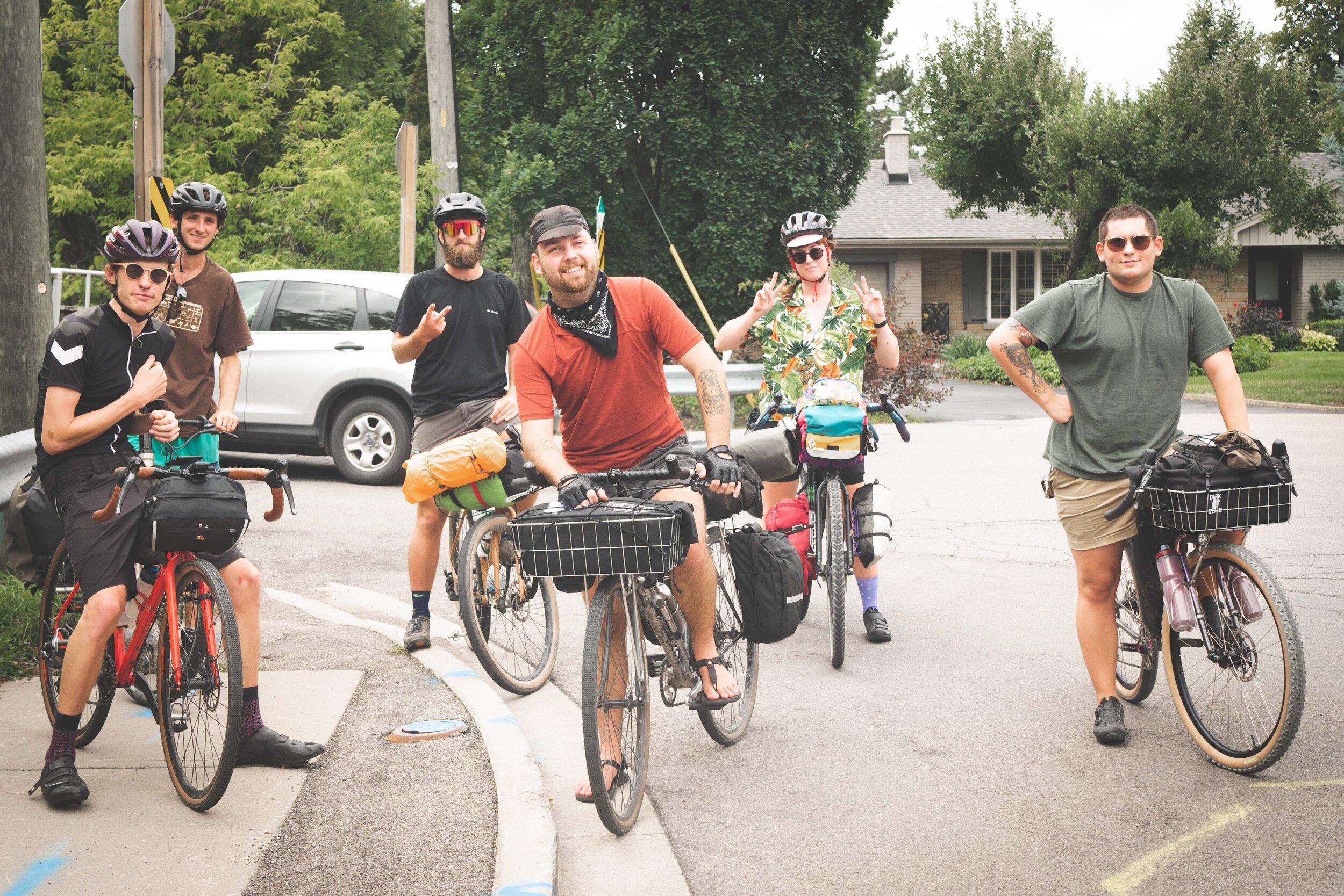
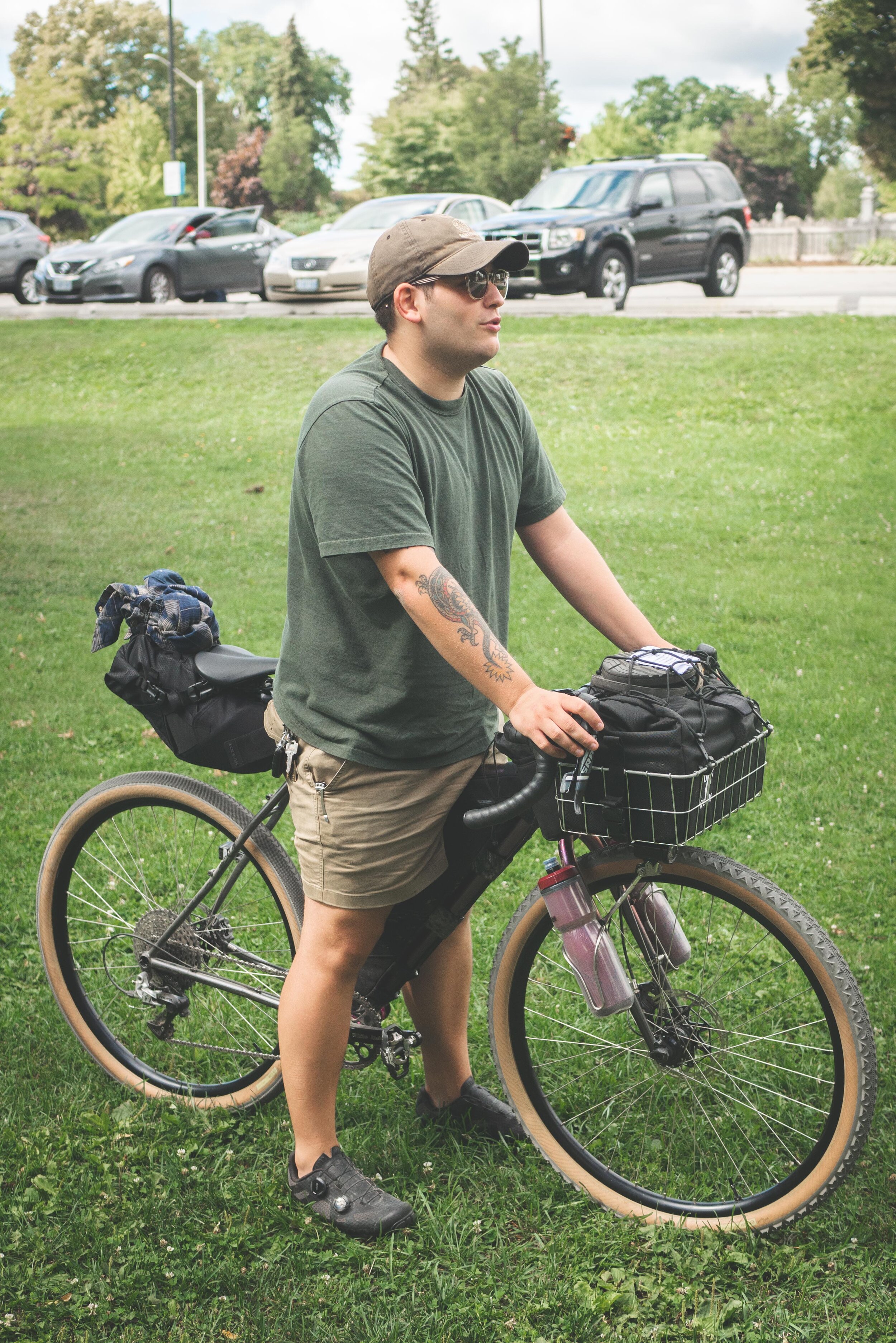
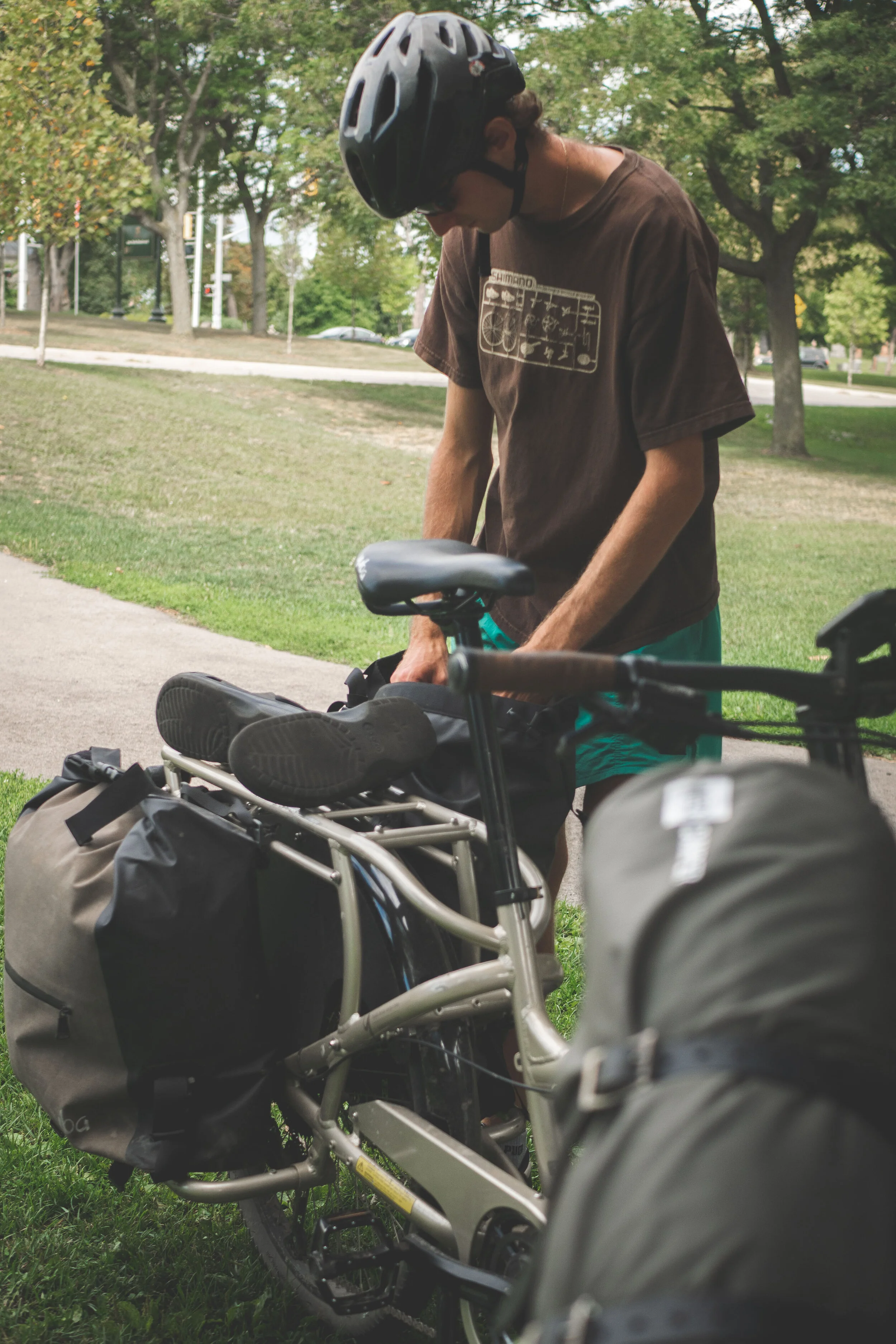
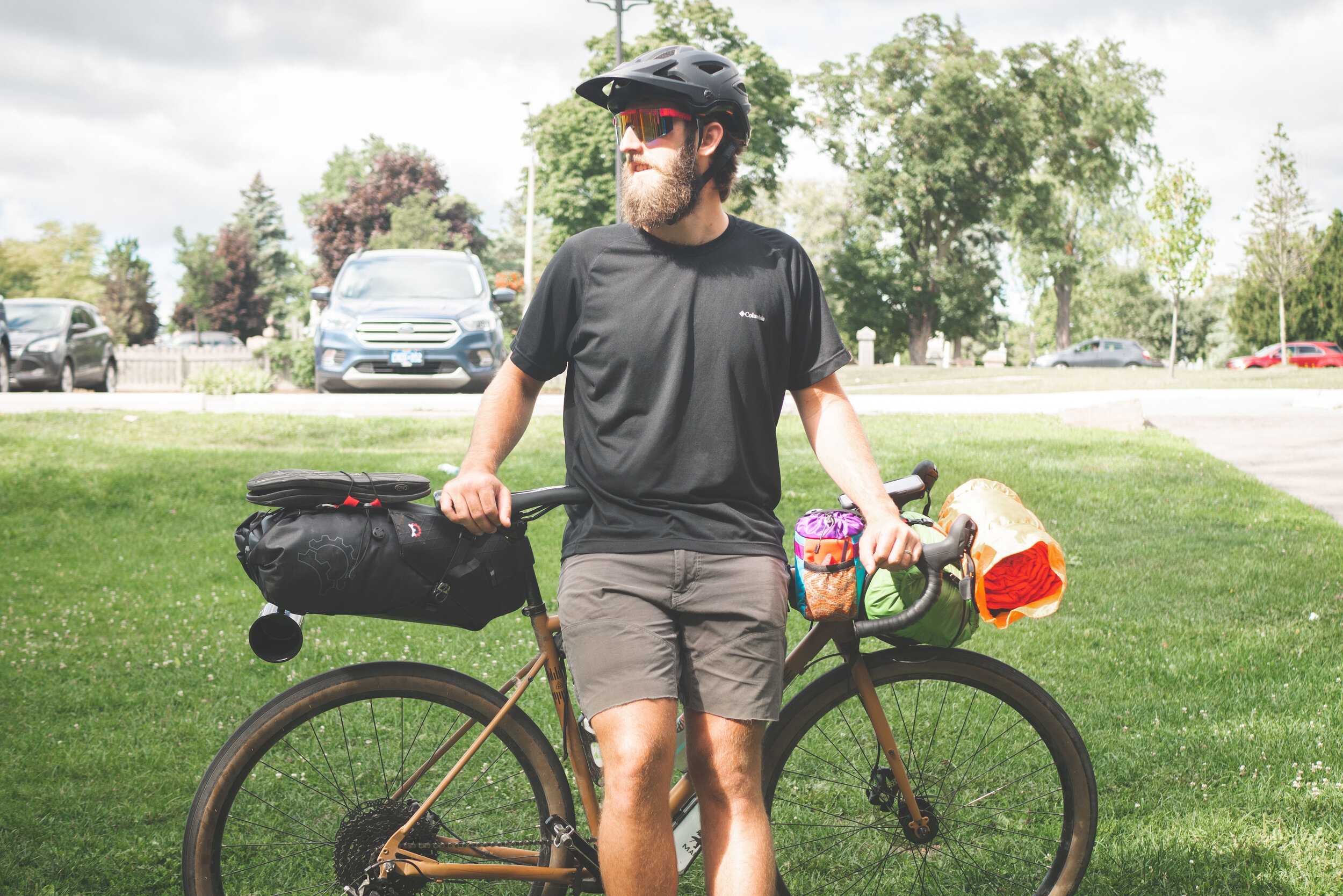
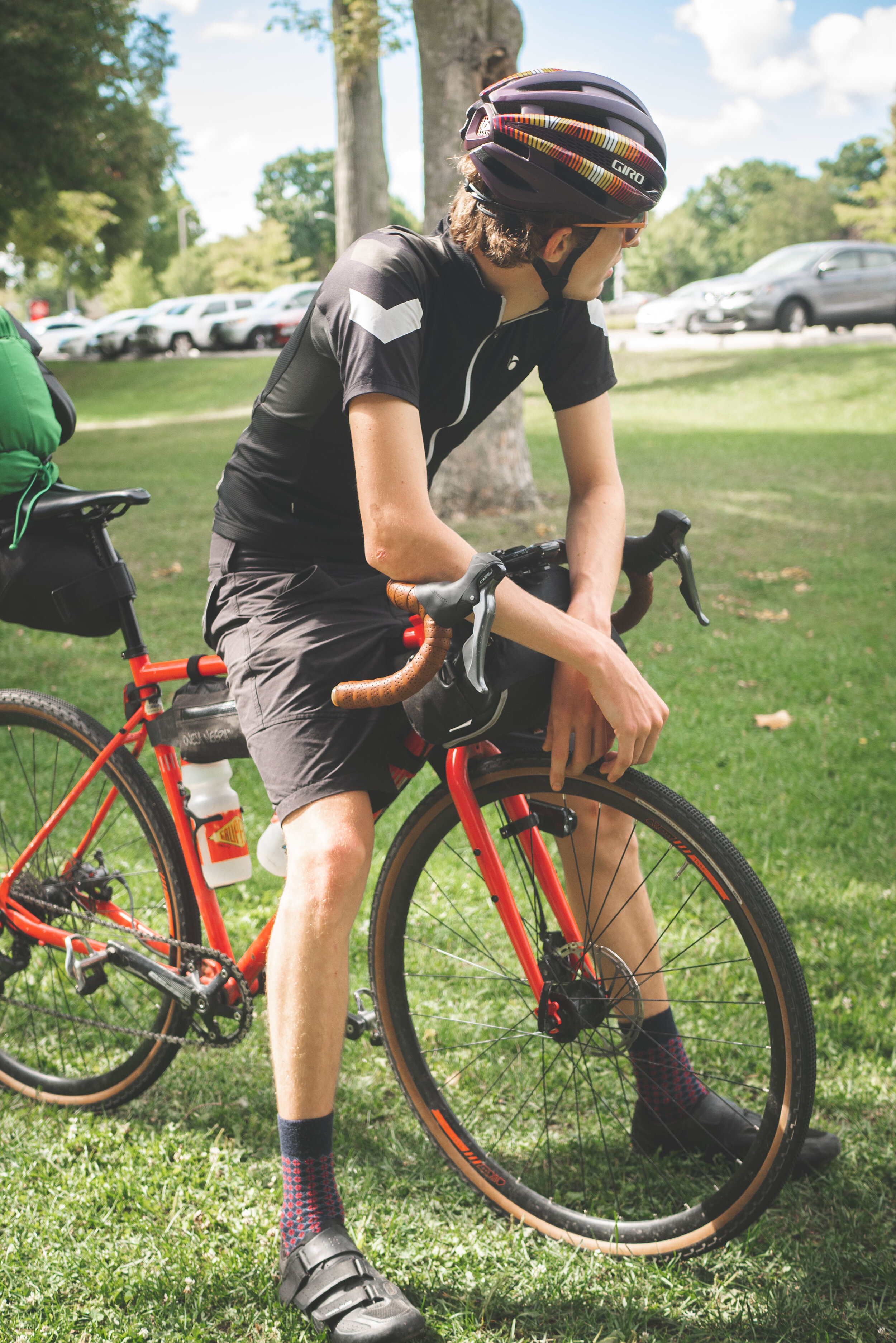
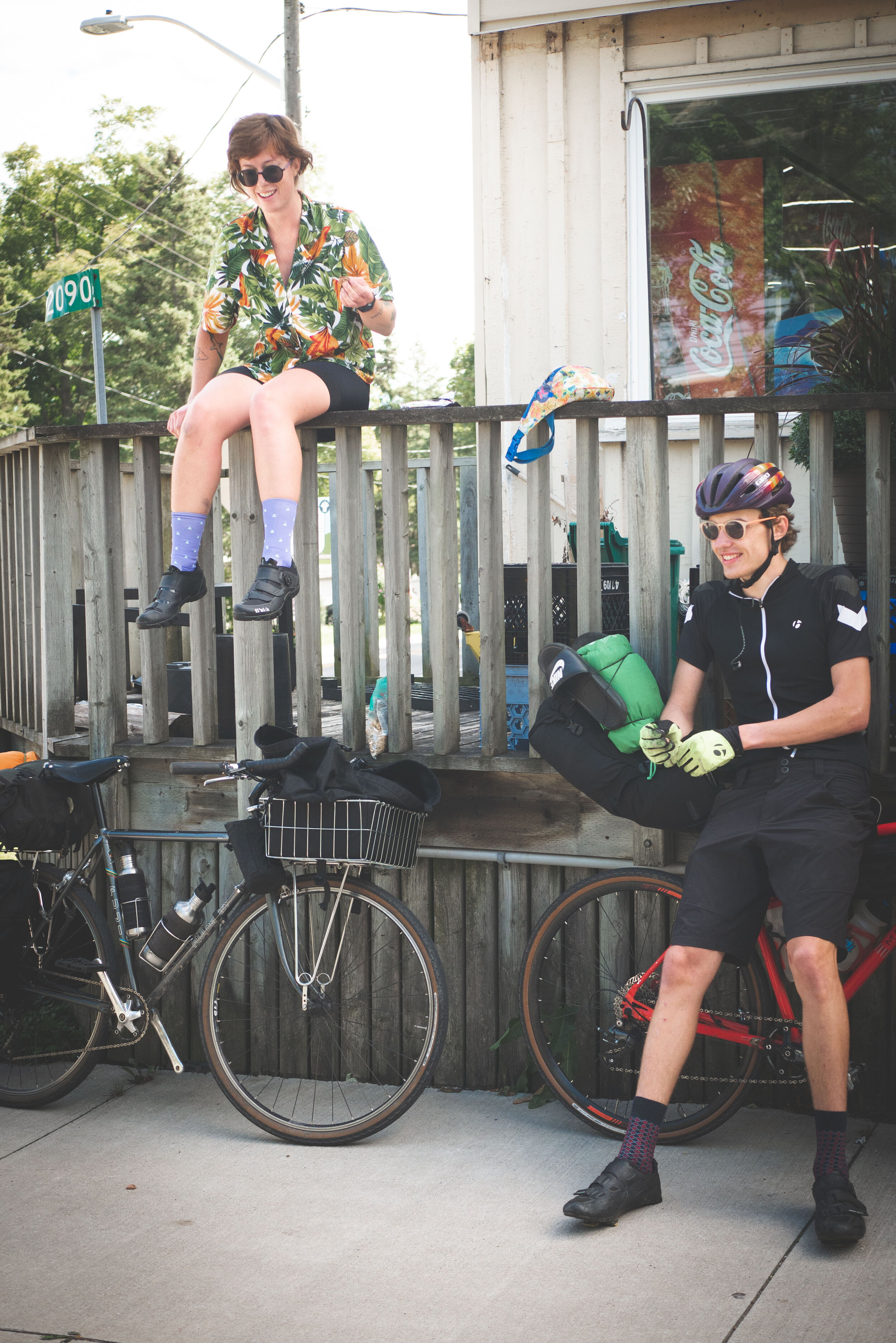
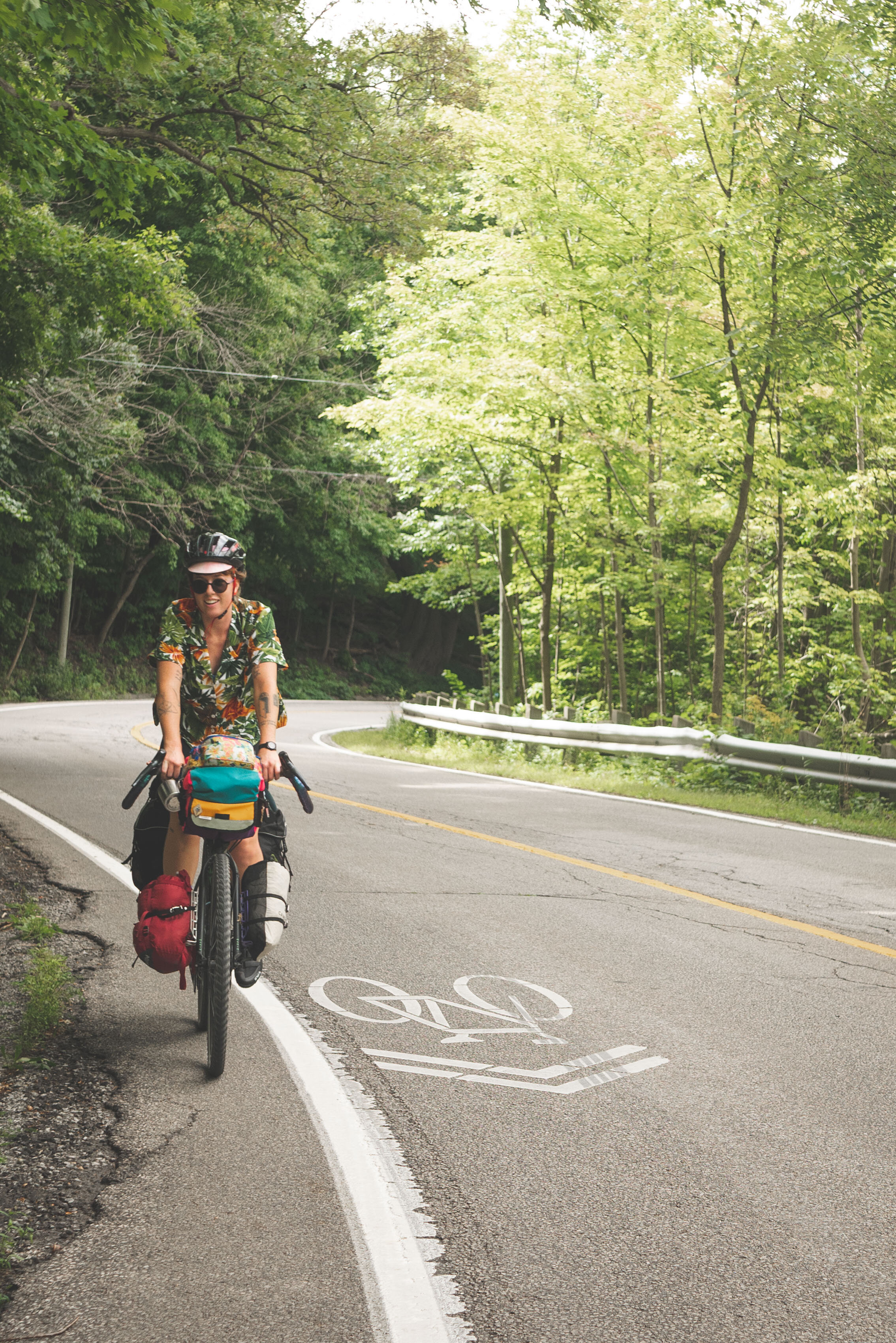
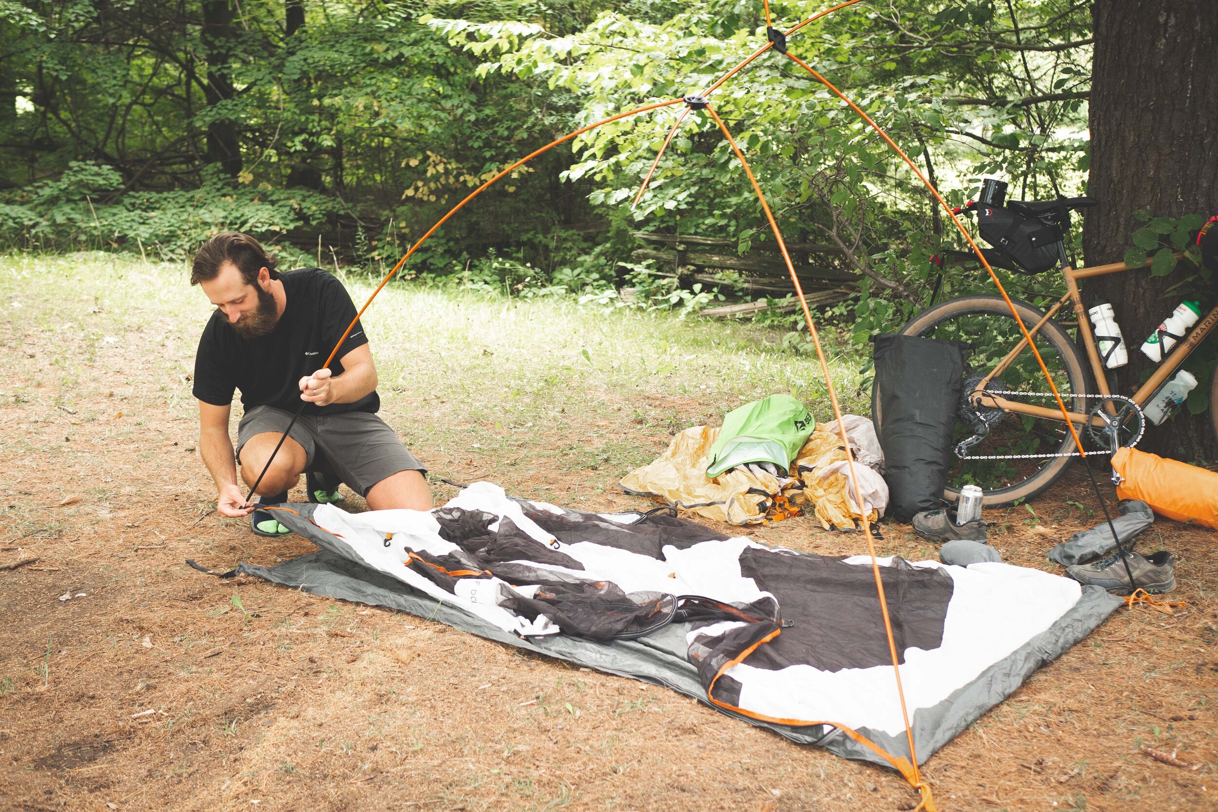
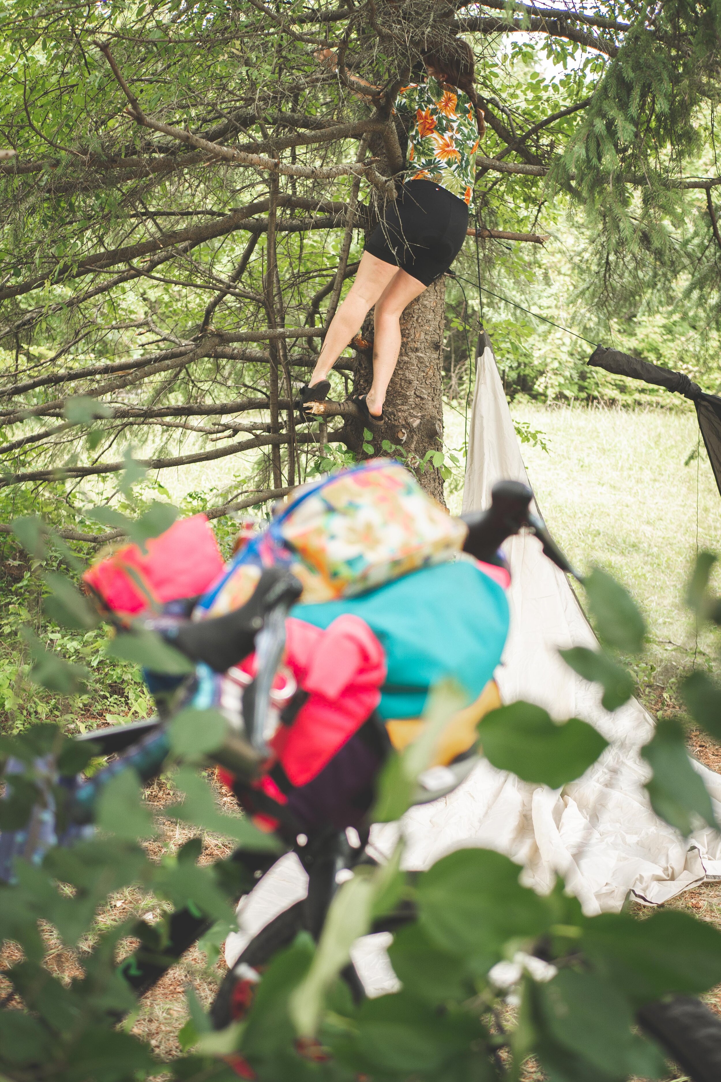
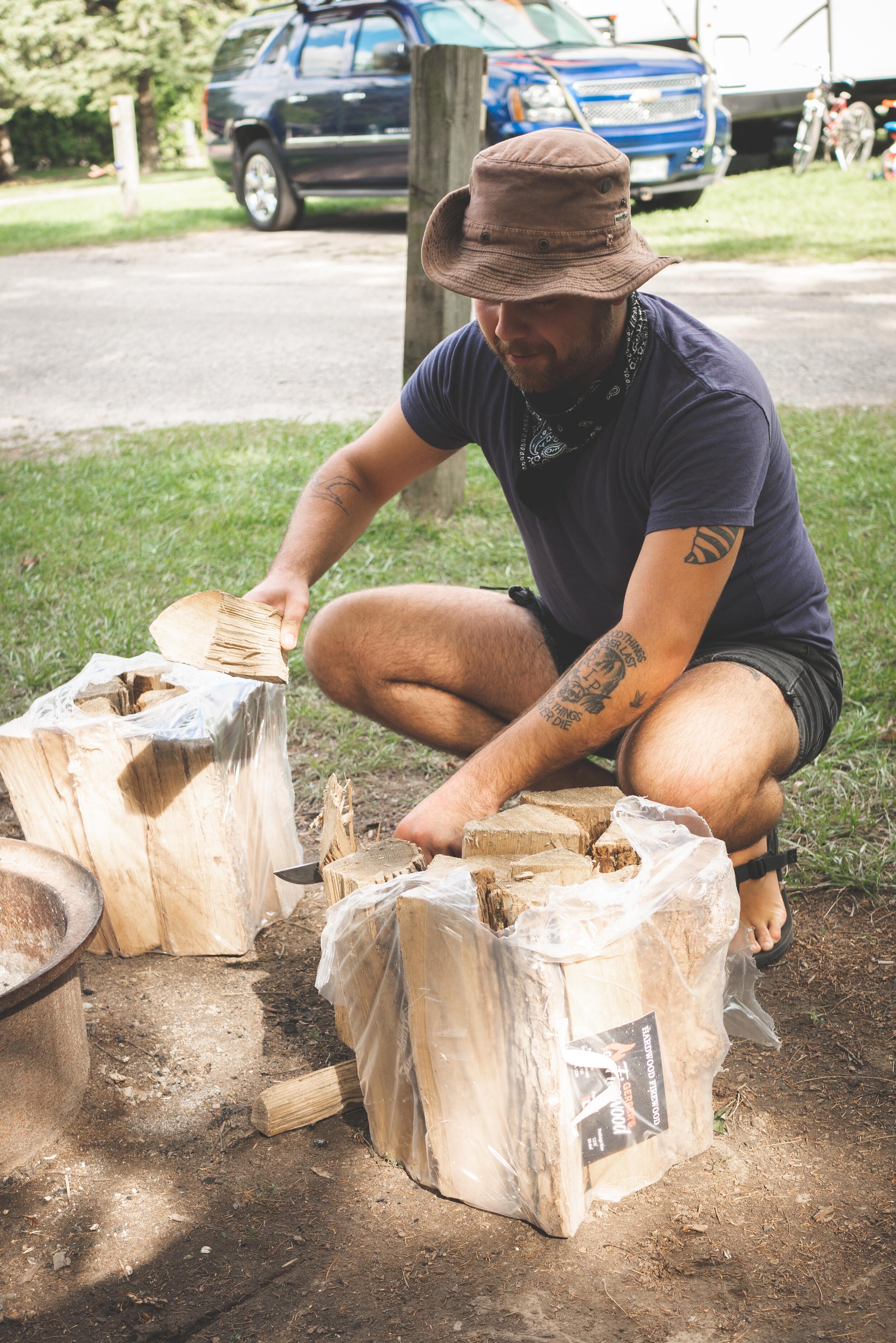
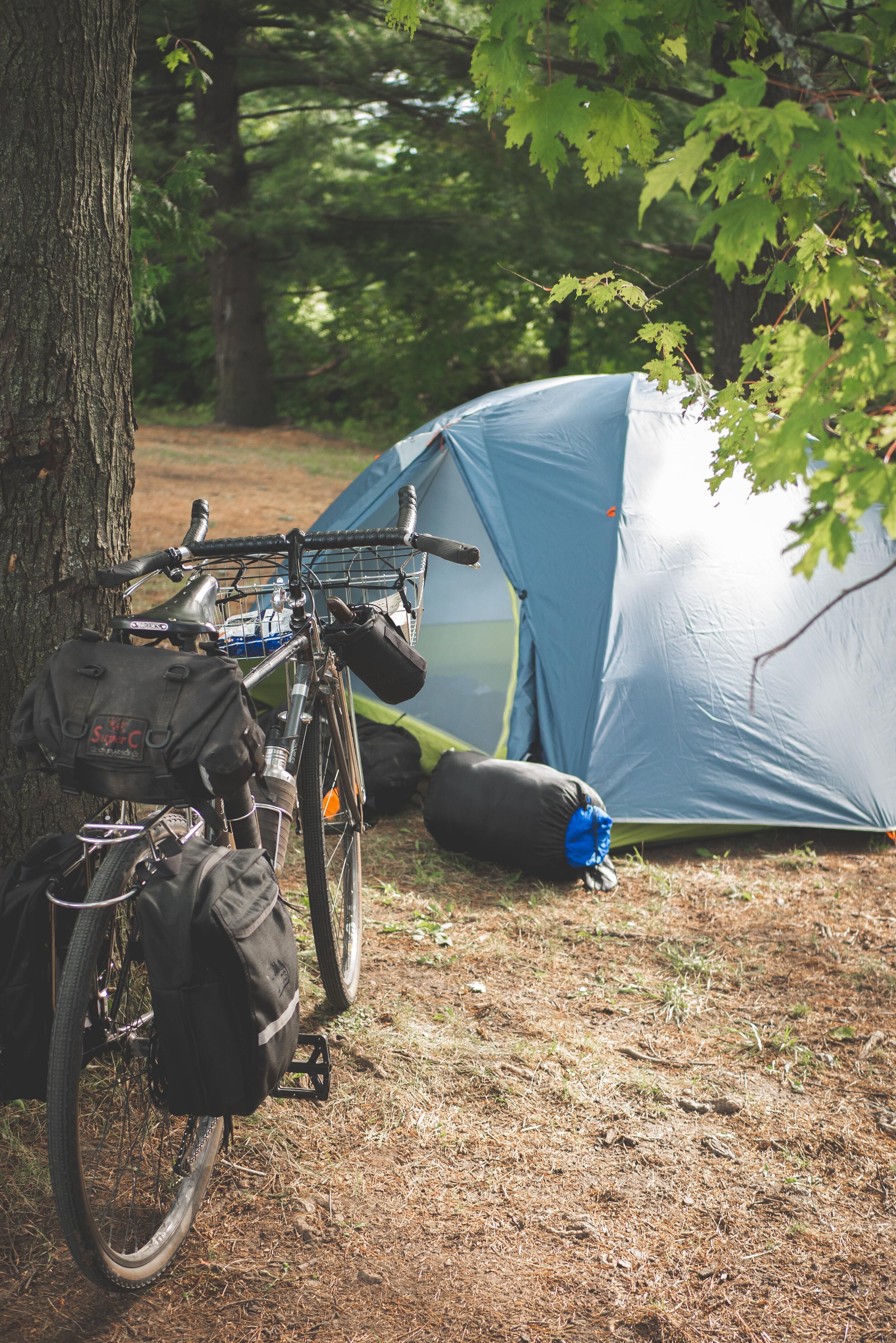
To cap off the summer, our staff team and a few friends took an overnight bike packing trip to Rockwood Conservation Area (just east of Guelph). The route was great, there was a grocery store nearby, swimming at the park and everyone got to tryout their bike packing set ups. Some opted for the traditional rack and pannier set ups while others opted for the newer style frame bags and ultralight camping options.

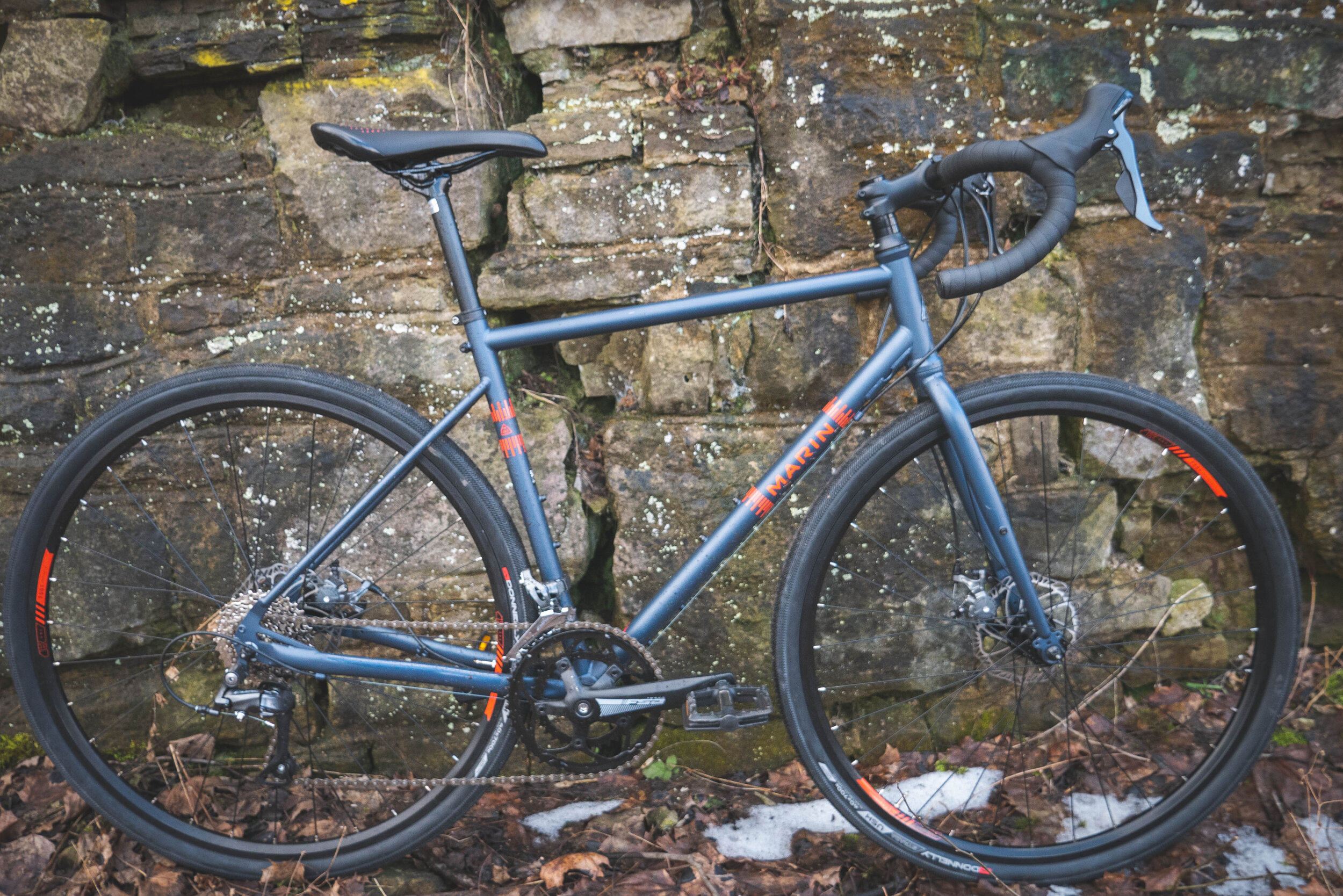
The Marin Nicasio

Did you know we sell new bikes? Well we do!

We realize that our used bike inventory doesn’t always have what people are looking for. We also appreciate that there’s lots of great bike shops that you can go to for a new bike in #HamOnt.

We became an authorized Marin Dealer in 2018 and this relationship has helped us source nearly 100 high quality bikes for our programs and also allows us to fill some gaps in our storefront, primarily in the hybrid and gravel bike segment.

The thing about hybrid bikes is that everyone wants one, and once they’ve got one their not keen to give it up for donation. For most people riding around the city, a hybrid bike with medium width tires, a wide range of gears and a comfortable riding position is a bike they’ll ride for a decade or more. People hold onto hybrid bikes because they just work great as all-round do it all bikes! A hybrid is great for rail trails, commuting, bike paths and fitness riding.

All of our used bikes that we sell through our storefront come in as donations. We don’t buy any bikes, or offer consignment services. This means we receive a couple dozen hybrid bikes per year through donation, but the demand far outweighs the supply.

Enter Marin Bikes.

P1010191.jpg

Marin offers great off-road and beyond-road bike options at really reasonable, maybe even the best price points that you can find. So if you’re going to spend $500 or more on a bike from a box store, come see us first because we guarantee you’ll get better service and a properly assembled, safety checked and warrantied bike. Box stores also like to offer their poor quality bikes at massive discounts like 50% off a bike that was originally $900! In reality the discount price is probably much closer to the real value of that bike.

Gravel Bikes

Gravel bikes have been a recent trend in the bike market. They are essentially the road bike version of a hybrid. Where most proper hybrids take controls and handlebars from mountain bikes, a gravel bike takes road bike controls and adds a wider hybrid type tire. This makes for a go anywhere road bike, that’s great for rail trails, gravel back roads, pavement and cycle touring. The larger tires smooth out the bumps better than skinny tire road bikes but still roll well on smooth pavement.

The Nicasio - Jack’s Take

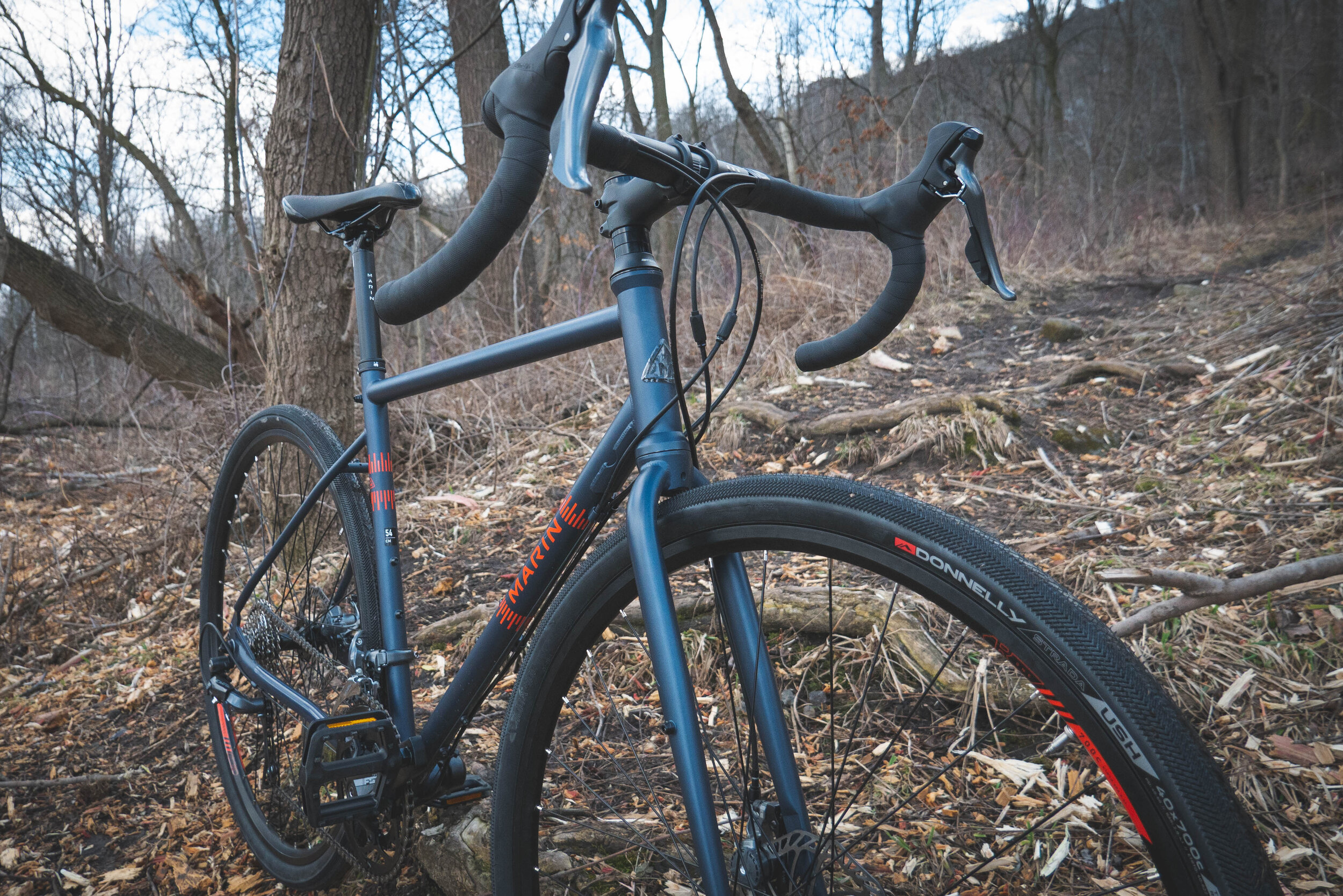
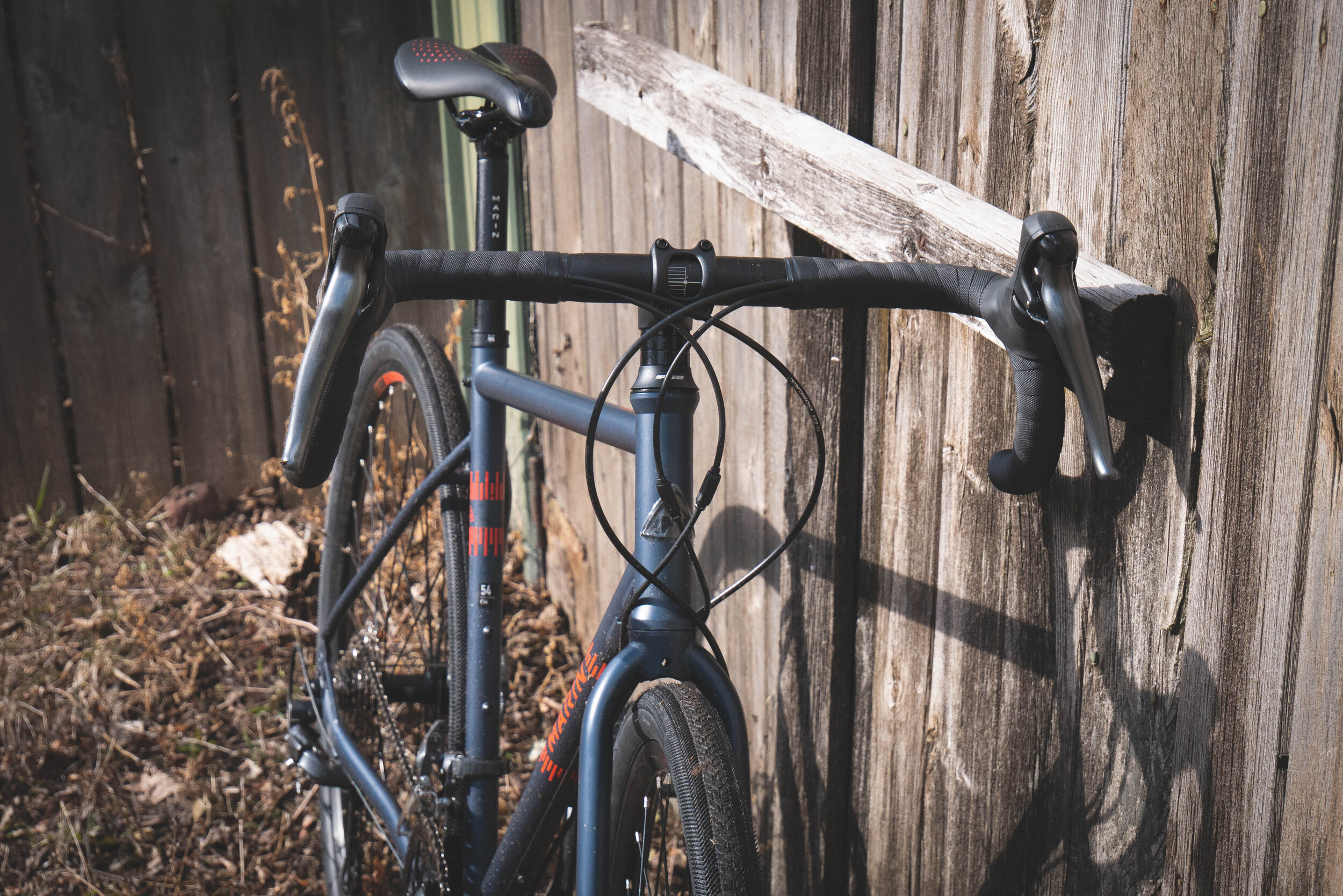
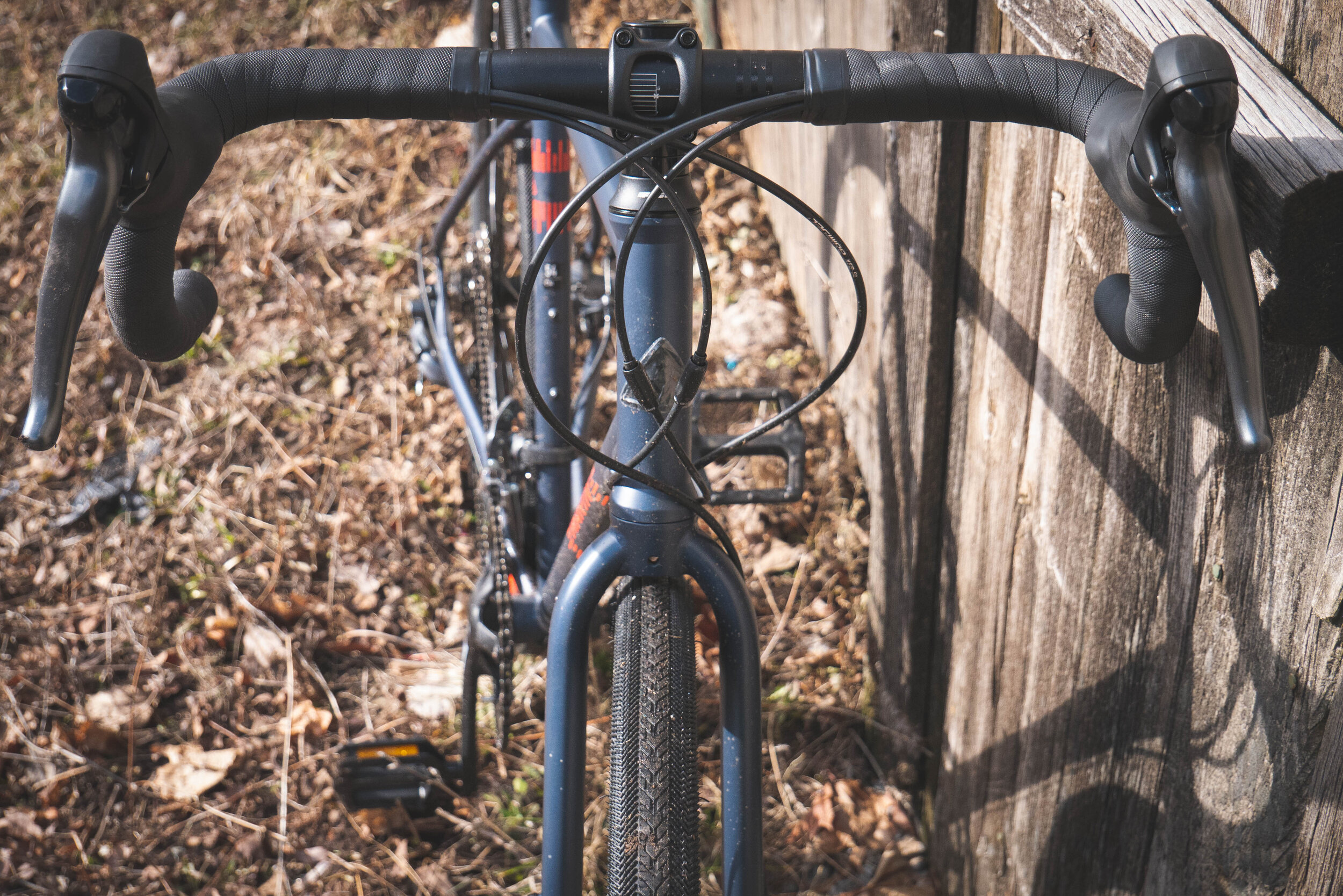
It’s natural to want to get off the beaten path and explore with this steel frame go-anywhere bike

It’s natural to want to get off the beaten path and explore with this steel frame go-anywhere bike

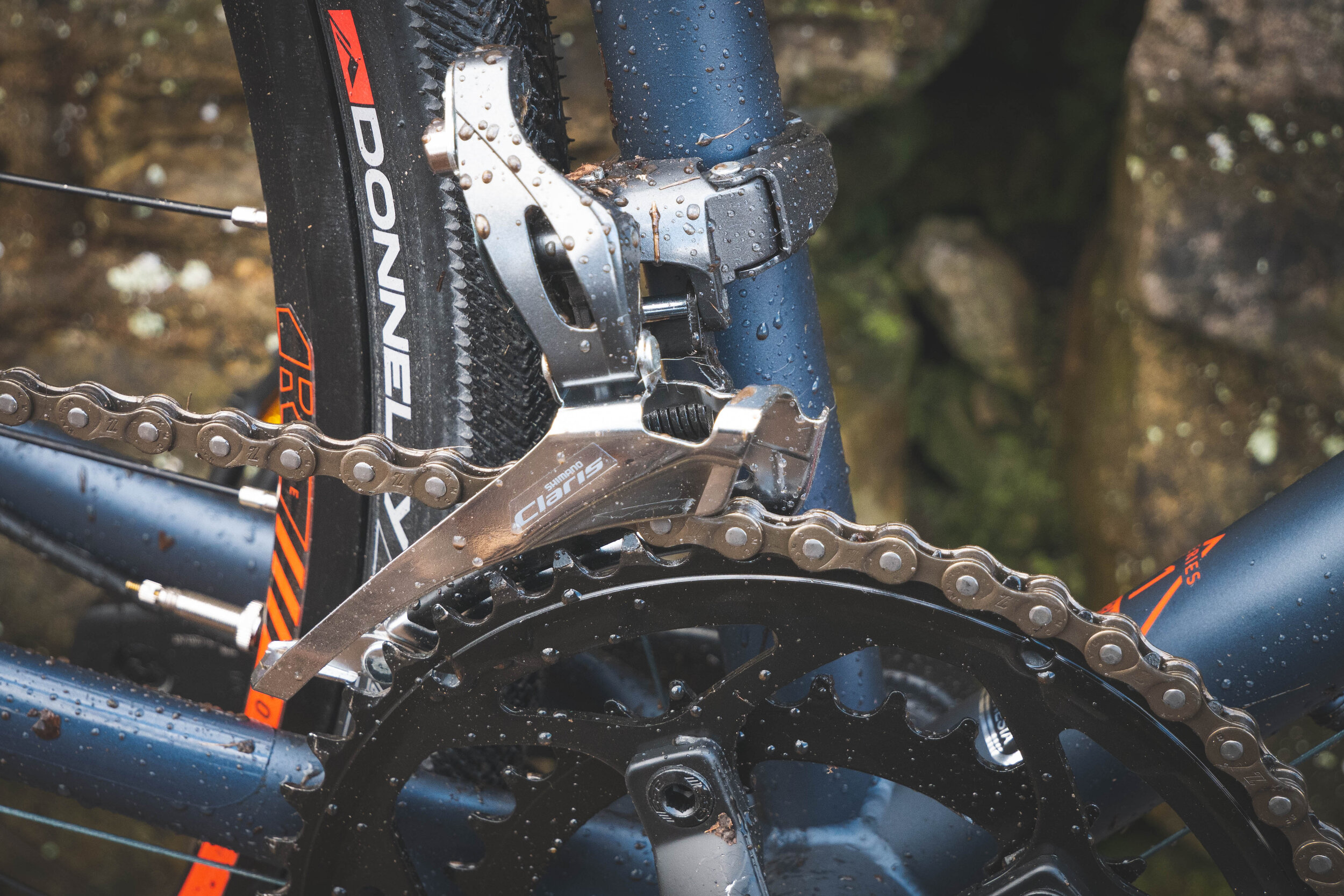
Marin’s price point entry into the Gravel Bike market has about the best component spec and build quality that you can find across any of the bike brands. The steel frame makes for a more comfortable ride than aluminum, but still weighs in around 28lbs. With the sun shining on a warmer than usual March day it was time to get some dirt on the tires of one of our Nicasio bikes.

In the saddle, the bike feels nimble and surefooted, able to quickly flick around road hazards and pot holes but stable enough to really settle in and spin with no need to pay a second thought to holding your line.

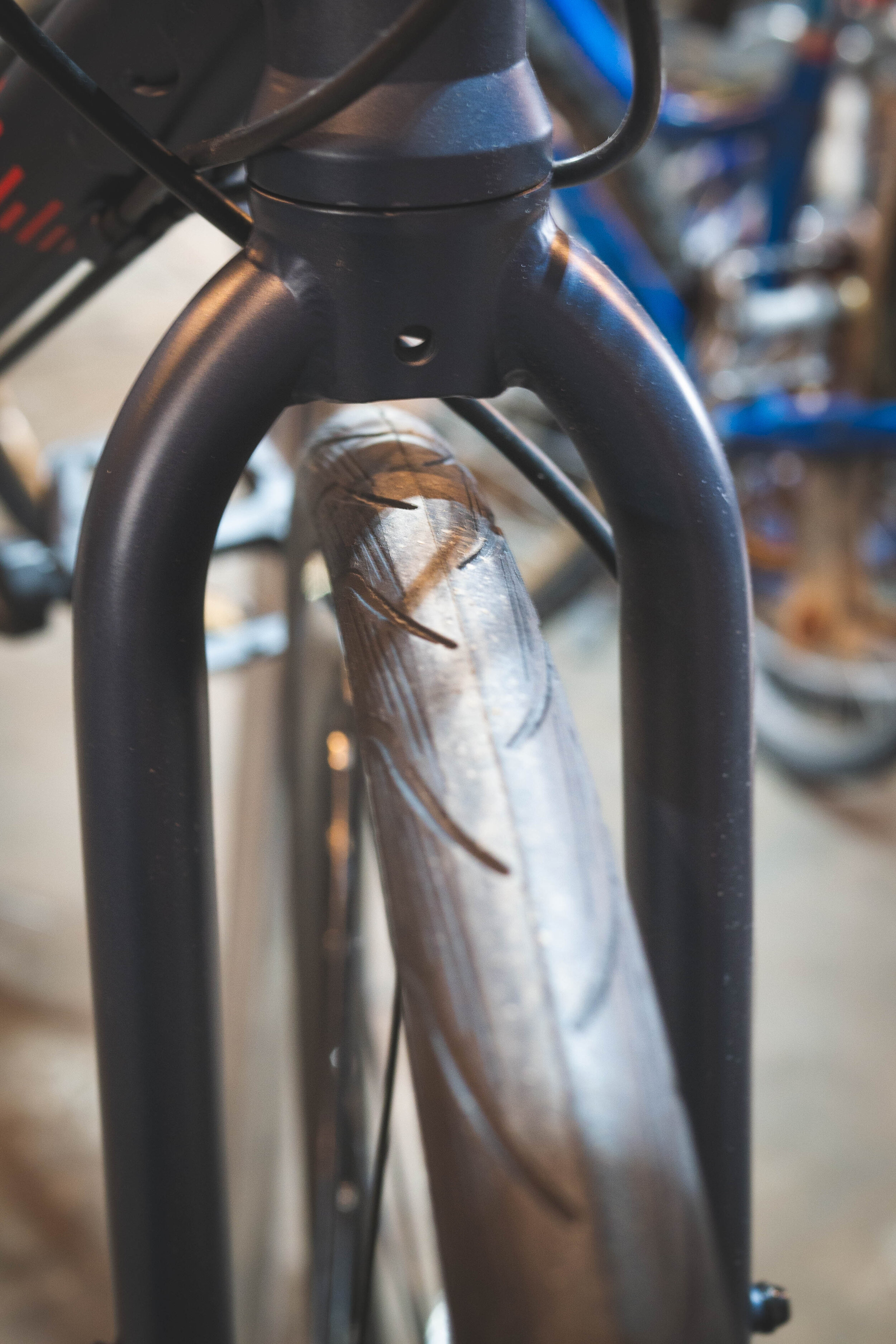
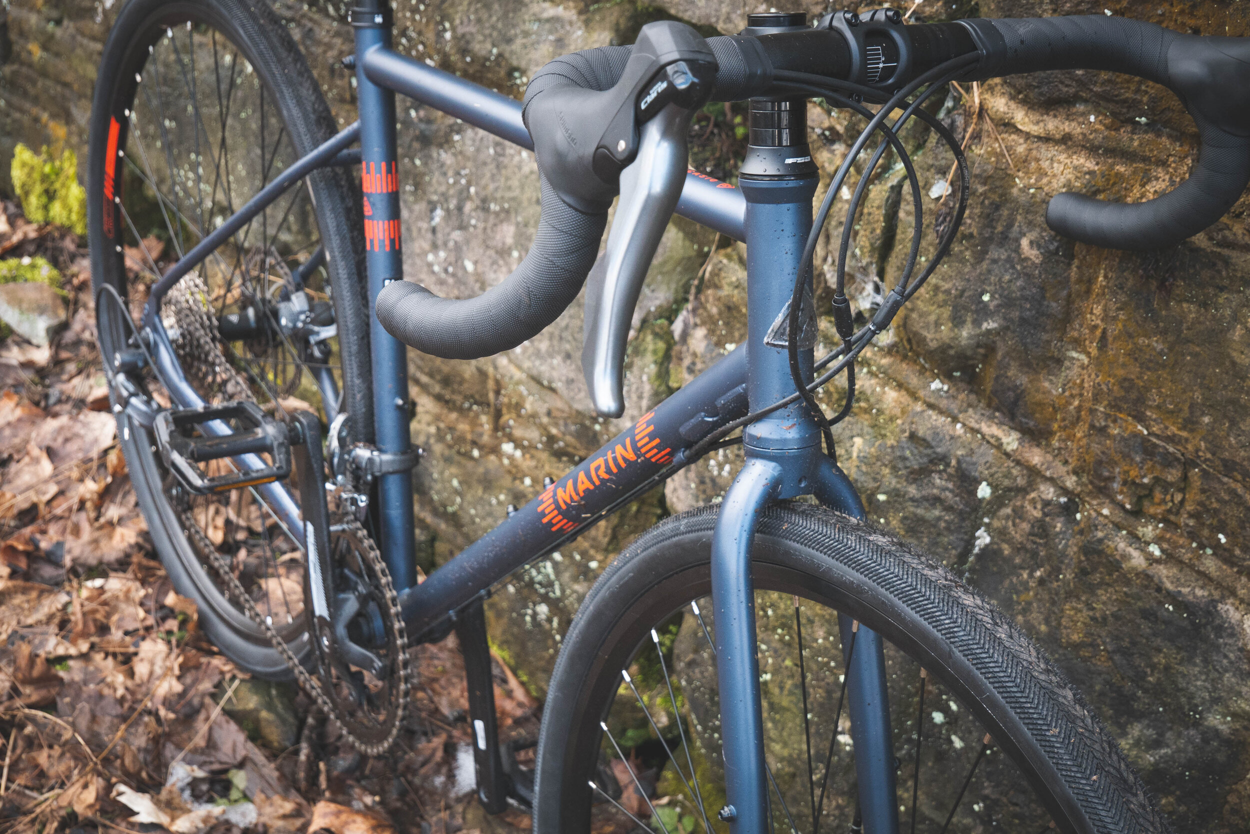
The Nicasio sails over unmaintained asphalt, gravel, and other assorted rough stuff with a practiced ease and doesn’t feel at all sluggish while whipping down the road to wherever you’re going. On the bike, your body is at a comfortable angle, you don’t feel doubled over on yourself like you’re competing the Tour de France nor do you feel like a vertical wall, catching every slight gust of breeze that happens along. It feels built for long days in the saddle, and the plethora of rack and fender mounts (including some thoughtful mid-blade fork eyelets and a study pair just below the seatpost collar) attest to this.

P1020247.jpg

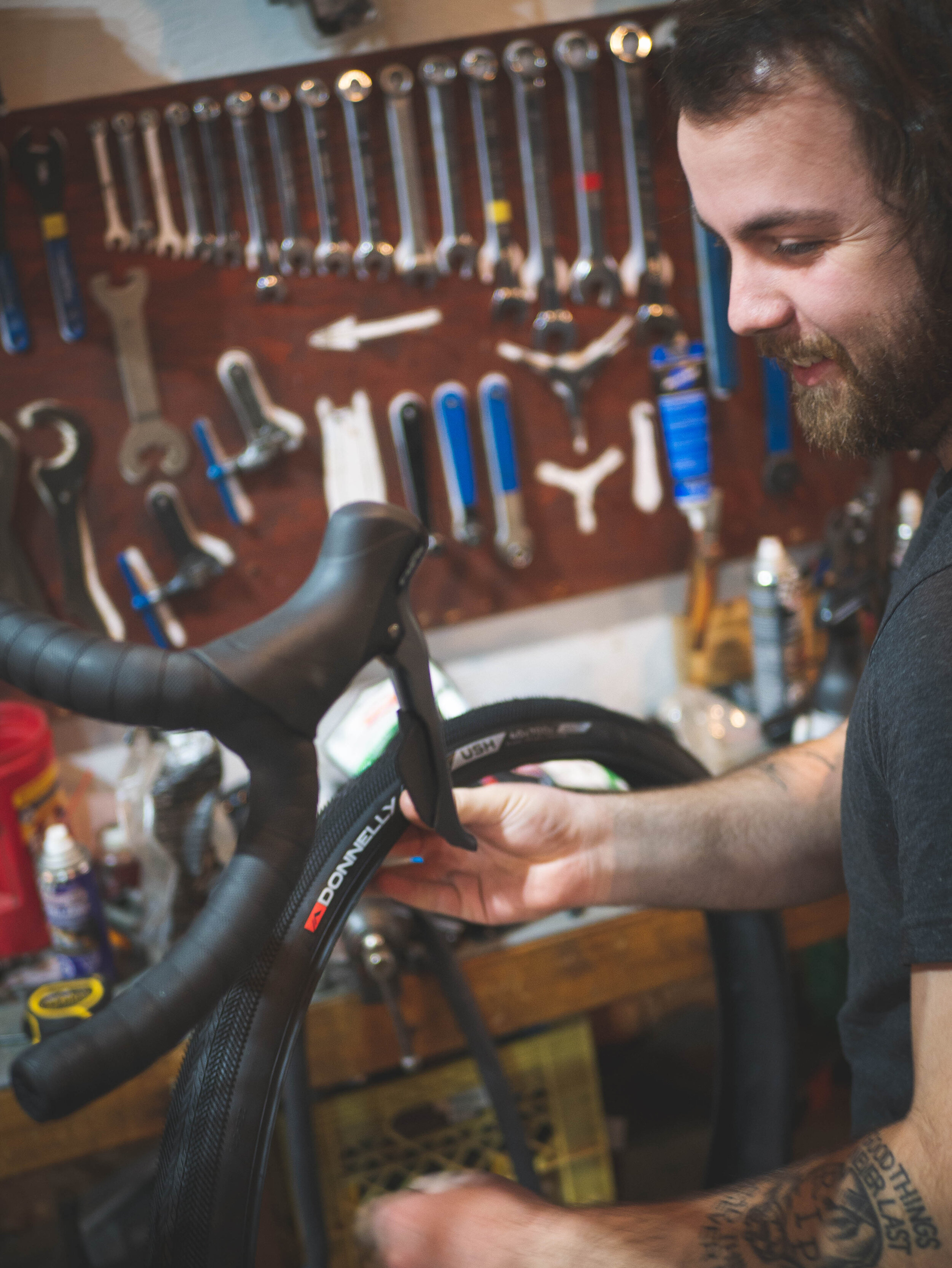
The Nicasio is practically begging to turn down that overgrown side trail and get into some trouble, or at least it will be after you replace the stock tires. It comes specced with 30mm Schwable Spicers which feel a bit anemic considering the way this bike begs to be ridden. We replaced our demo bike with 40mm Donnelly Strada USH tires and they really opened up the possibilities of this bike. We’d recommend 35mm tires with knobs if you intend to be getting into the mud, and 40mm slicks if you’ll be spending most of your time on drier surfaces. Overall the Nicasio is quite capable, very close to a “do-it-all” kind of bike. It’d be well suited as a fast and fun commuter, a dedicated gravel bike, a fully loaded tourer, or a general purpose fitness bike. It’ll certainly make you smile every time you throw your leg over it.