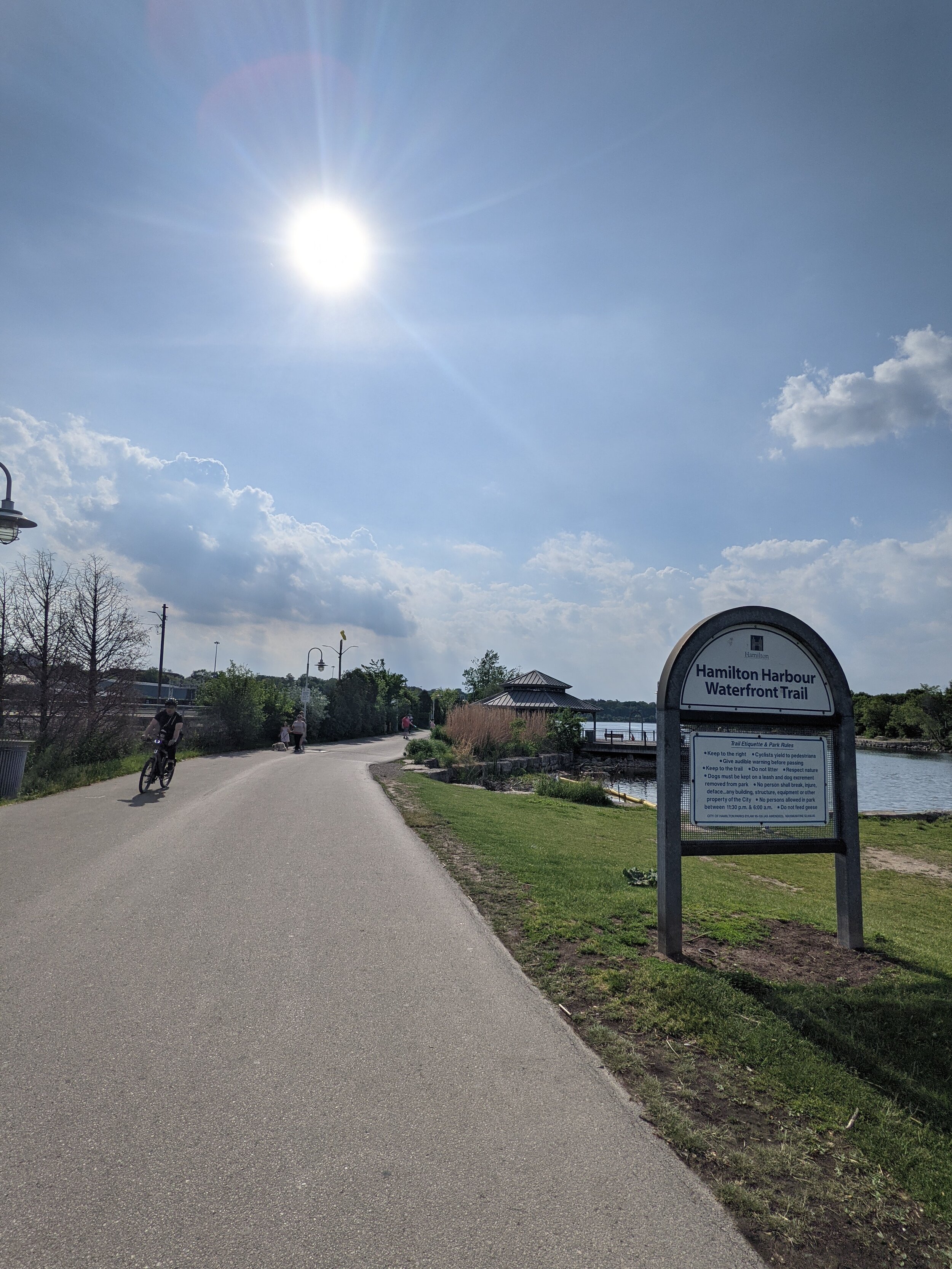
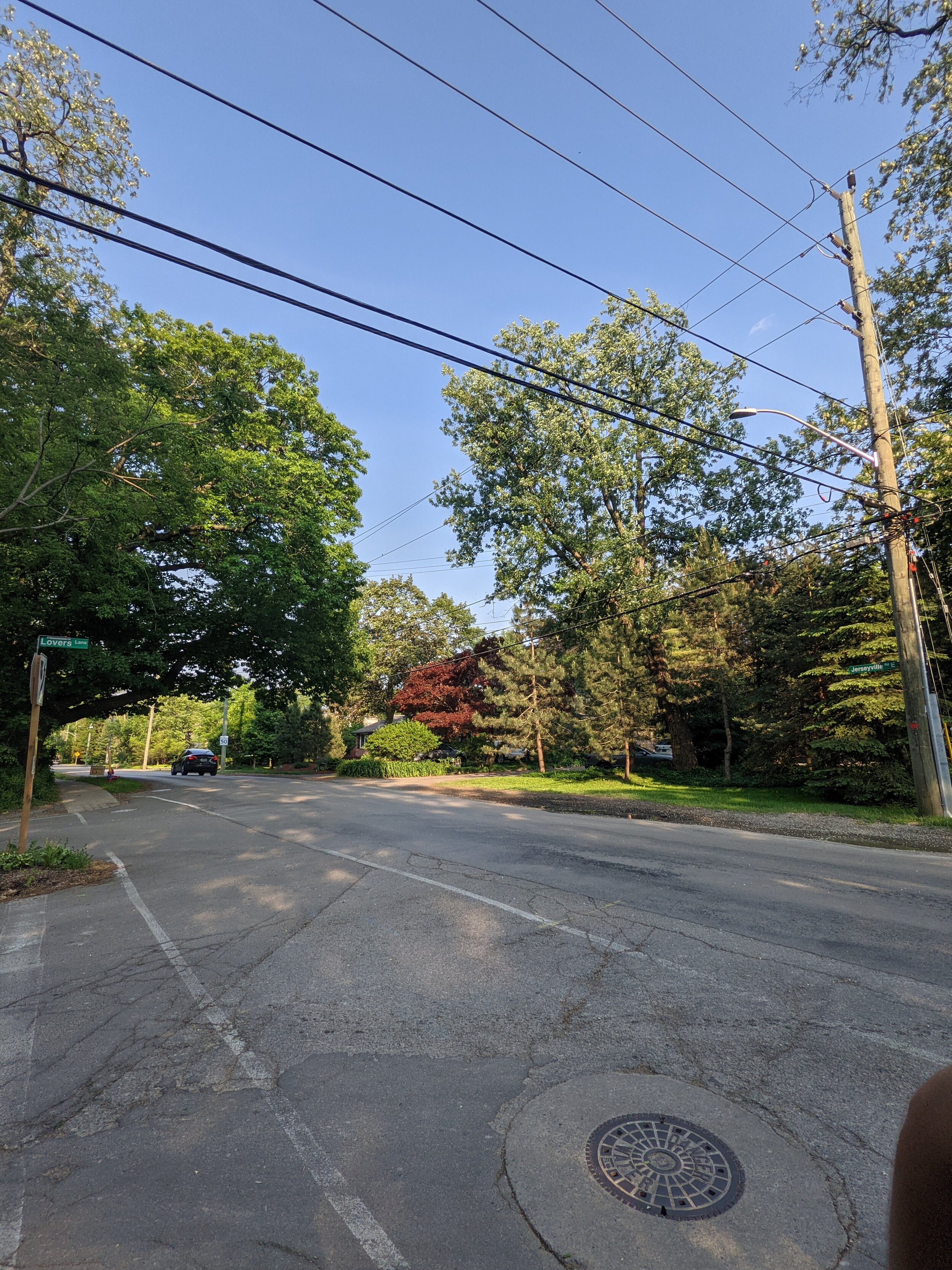
As per the City of Hamilton, this route is listed as easy. It is a 21km route between Bayfront park and Ancaster at Jerseyville road and Lovers Lane. The city does not specify which of these is the appropriate starting point.
From The City of Hamilton’s website :
Connection points
Ancaster: Wilson St./Fiddler's Green Rd./ Lovers Lane
Hamilton Harbour: Bayfront Park, Bay St./ Barton St.
Route design
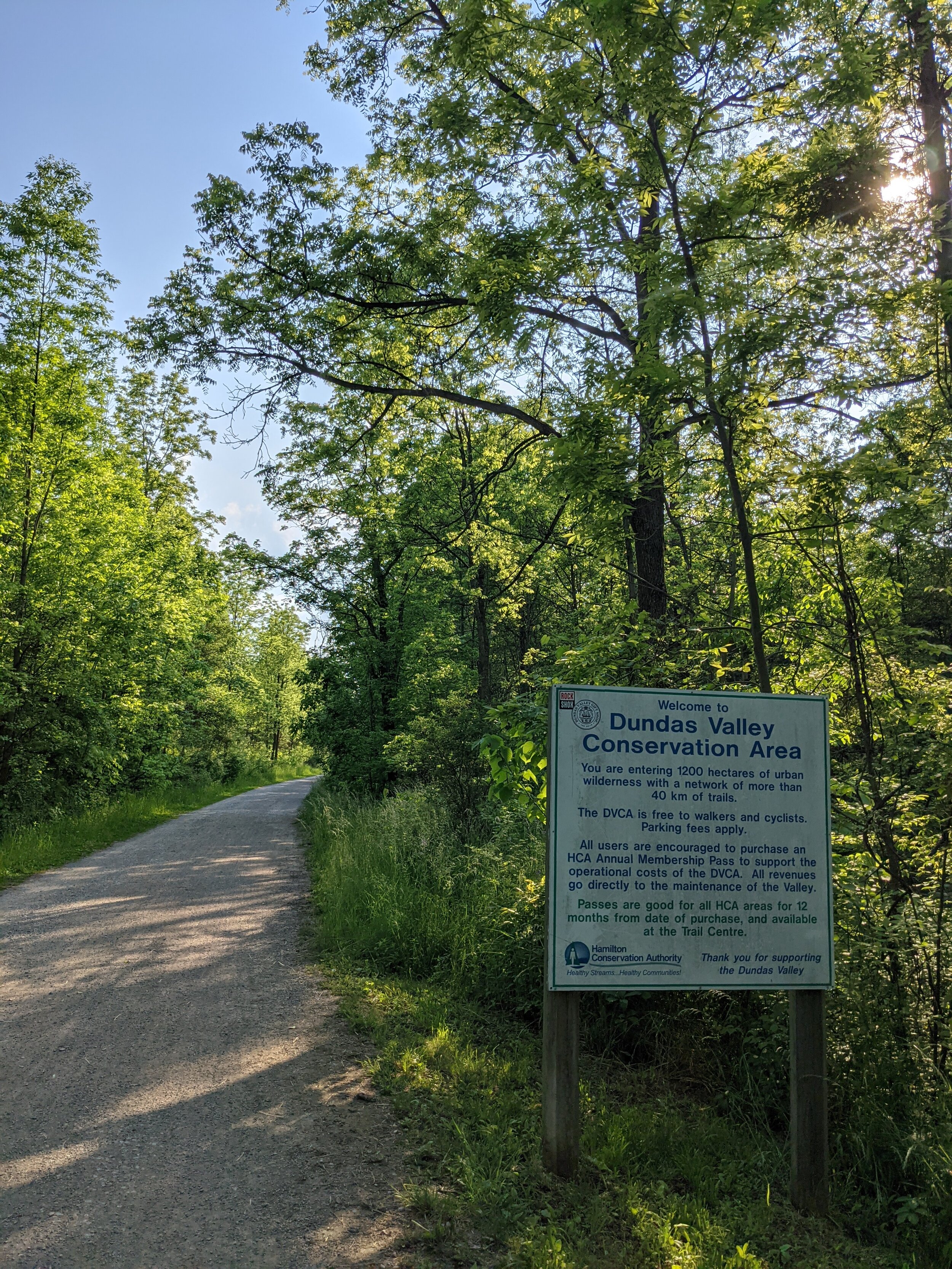
Easy: Combination of on-street and trails; unpaved on Rail Trail in Dundas Valley; paved option between Ancaster and Dundas is Wilson St./ Old Dundas Rd
Take care on Sulfur Springs Rd. and on Dundas streets
City transit access
Ancaster: Route 16, Route 5C/ 5A nearby
Hamilton Harbour: Route 99 (seasonal), Route 4, Route 2 nearby
Inter-city transit access
Downtown: Hamilton GO Centre (GO Transit, Coach Canada, Greyhound)
Westdale: McMaster University GO Transit
Our Ride
Ridden By: Meredith Park
Meredith Park is a long-time New Hope staffer. She works as a mechanic, Ride Smart instructor and teaches our Bikepacking 101-weekend course. She is an avid cyclist and recently completed the cannonball 300 (so she definitely likes long and challenging rides). She is also probably the only one of us who is still nice to people on the phone at the shop.
Our name for this route: Jekyll & Hyde.
The route itself was 21km with 288m of climbing. The city description does not list the elevation gain on the route, only the distance. To make this a workable loop, Meredith ended up riding 35km. The city route took about 1h 20m, and the entire loop took about 2h.

Is it easy?:
The elevation map from Meres Strava recording. This route is a lil’ spicy on the legs.
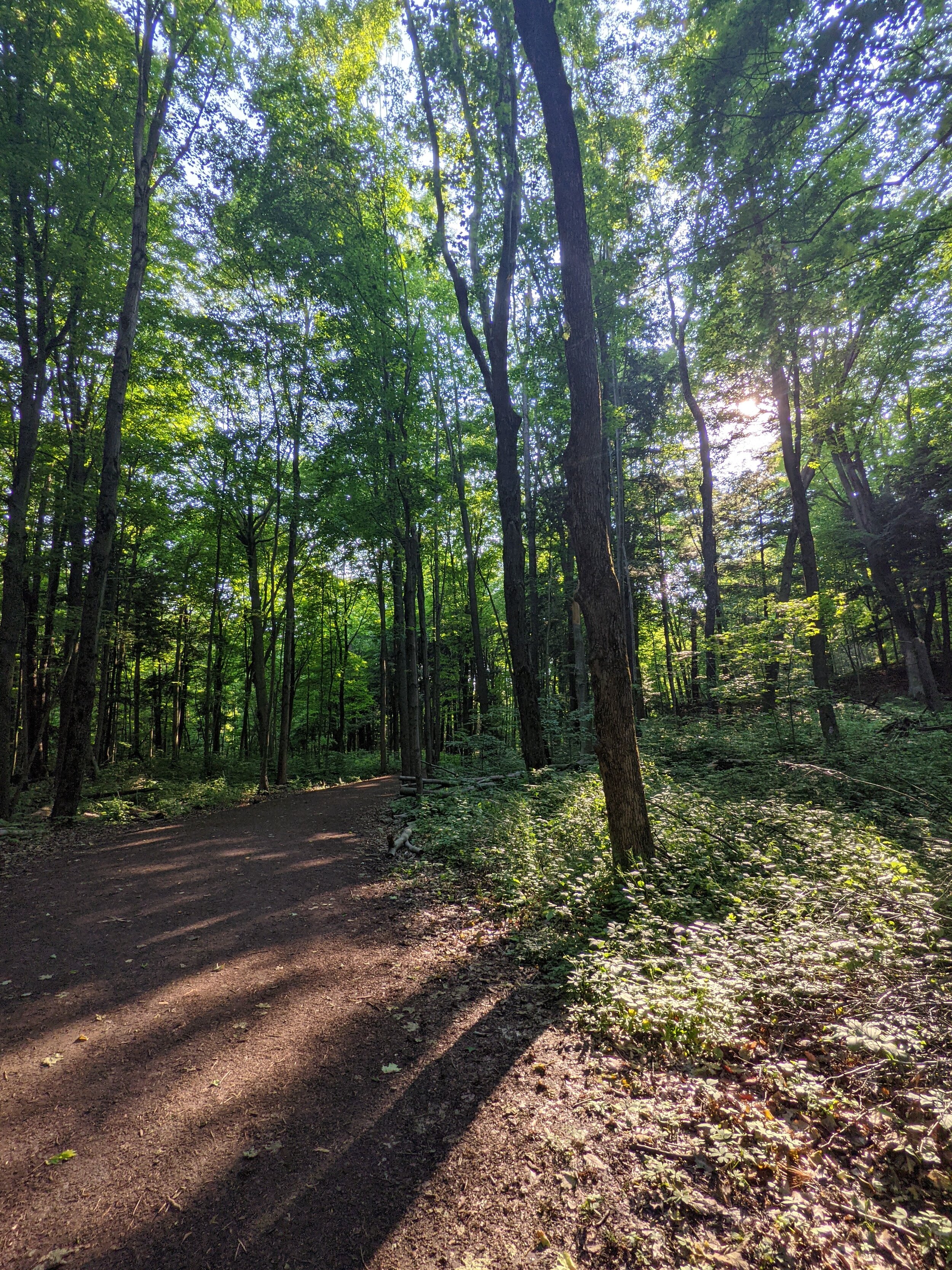
Rather than "easy," Mere felt that this ride would be more of a fitness ride for a newish/moderate cyclist. Someone who is looking for a fun, challenging ride to improve their cardio and technique. Although the route starts off leisurely at Bayfront Park, the Dundas valley segment involves several steep, rooty, and rocky gravel climbs, including a 1km climb up Sulphur Springs road at the end. The accessibility score of this route was a 4 out of 10, and the leisure score was a 5 out of 10, meaning this route may be too much for the average family on entry-level bikes looking to go for a nice ride. It may be easier if the starting point is Ancaster traveling into Bayfront Park.
Was it easy to find and stay on?:
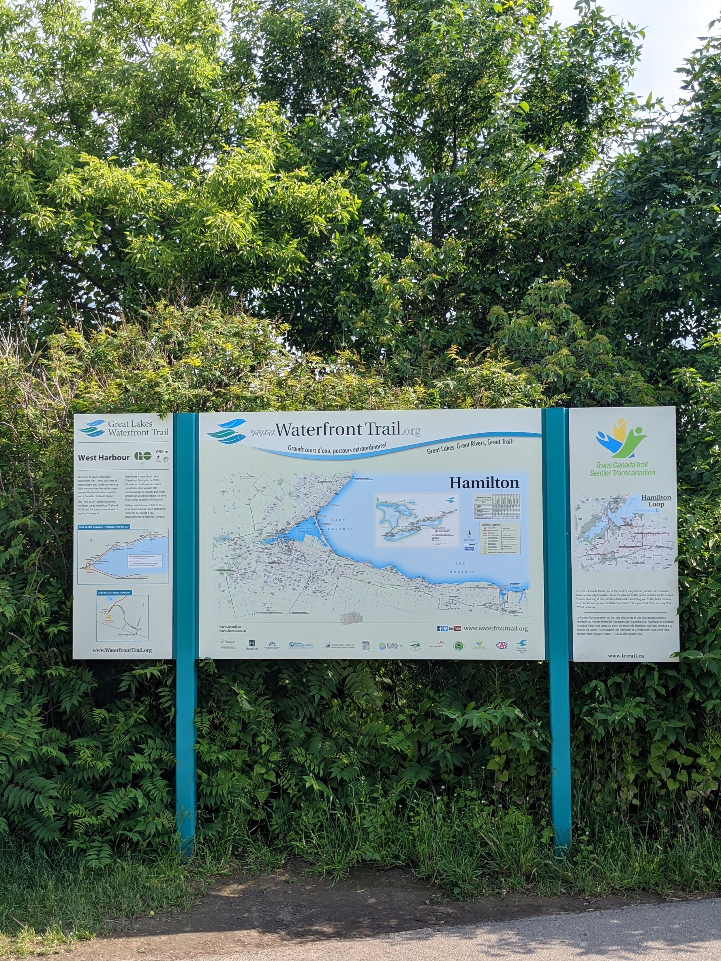
One of the primary problems with this ride is that you cannot open the interactive map provided by the city on a cellphone browser. Instead, you must rely on the city's PDF cycling map, which has part of the route covered by the legend and inconsistent street names, so you mostly navigate by guessing the shape of the route. They also do not have GPX files of the route to download. If you are unfamiliar with the city and, in this case, the DVCA, you will likely get lost on the Dundas section of the ride. This route received a 10/10 on how easy it was to find (if starting at Bayfront Park). Its navigation score was a 4.5 out of 10 because although the Bayfront and city portion of the ride are paved with bike lanes and signage, the rest of the route is primarily unpaved with no bike lanes and no signage. The primary issue with navigation on this ride involved stopping to try and figure out the city map repeatedly with little success, especially in the Dundas Valley.
How was the infrastructure?:
I guess the ride is over now. Lanes done, lets go home.
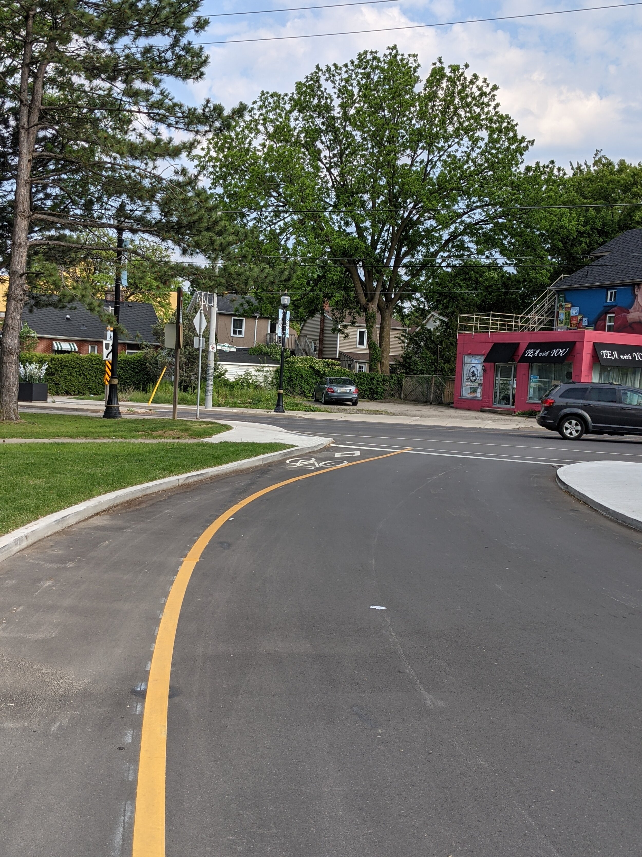
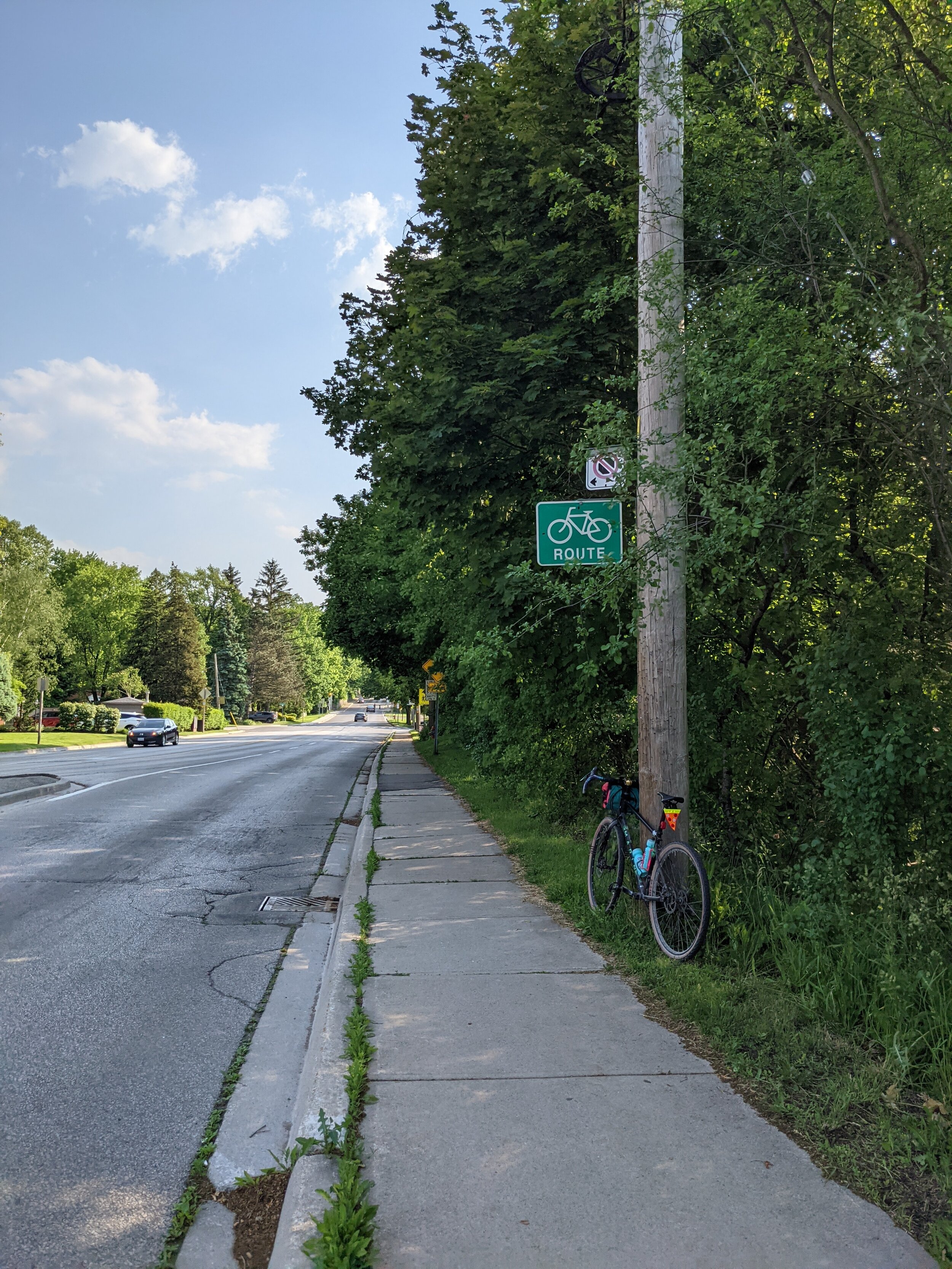
The trails and roads on this route were mainly in great condition. However, some of the bike lanes ended abruptly, and signage was highly inconsistent. Meredith rated the infrastructure at 8/10. Two notable failures of infrastructure involved Ogilvie rd and a new bike lane in Westdale. This route has you ride up Ogilvie rd in Dundas, which, although it has green bike route signs off to the side, does not have bike lanes and cars have a tendency to be aggressive to cyclists making their way up the hill slowly. If riding the route Bayfront -> Ancaster Meredith felt this would not be a beginner-friendly climb due to the hill's steepness mixed with the volume of traffic and lack of protected or marked bike lanes. The second notable infrastructure failure was in Westdale, where a new bike lane has been installed. Usually, this would be dope, but it's only about 20ft long and abruptly terminates at a parking spot.
Overall takeaways and recommendations:
Let’s be real, rides through the Dundas Valley are always pretty, and rides around Bayfront are always enjoyable. Sometimes, however, putting two fun things together can ruin the experience of both. This ride is fun for a moderate cyclist on a decent bike, but Mere and the staff at New Hope would advise against doing it as a family or beginner ride. How can this route be improved? here are our top three recommendations:
Draw how you feel Mere.
Make it a loop! The drop-off or start in Ancaster is incredibly confusing since it is primarily just a residential area (although there is a lovely ice cream shop a little down the road). Additionally, making bike routes lines rather than loops mandates using a car or bus to shuttle the cyclists to and from the ride. If the routes were planned as loops, they could be accomplished entirely by the cyclist without requiring planning around cars or bus schedules.
Break it up! This route was called Jekyll and Hyde for a reason; the portion of the ride in Bayfront and Westdale was well marked, maintained and would legitimately be fun for a family or casual rider. The valley and Dundas sections of the ride were on an entirely different level than the Bayfront section. This half of the ride required higher levels of rider experience, and fitness and very likely could not be achieved on an entry-level bike while still having fun.
"At least give us a sharrow or something" The lack of infrastructure on Dundas' many hills made this route less than beginner-friendly. This route should be changed to use the rail trail rather than routing through Dundas streets.


