
As per the Hamilton website - this is a 16km route that is expected to take 1.5 hours and goes between Aldershot Go station and Confederation Park.

From the city website:
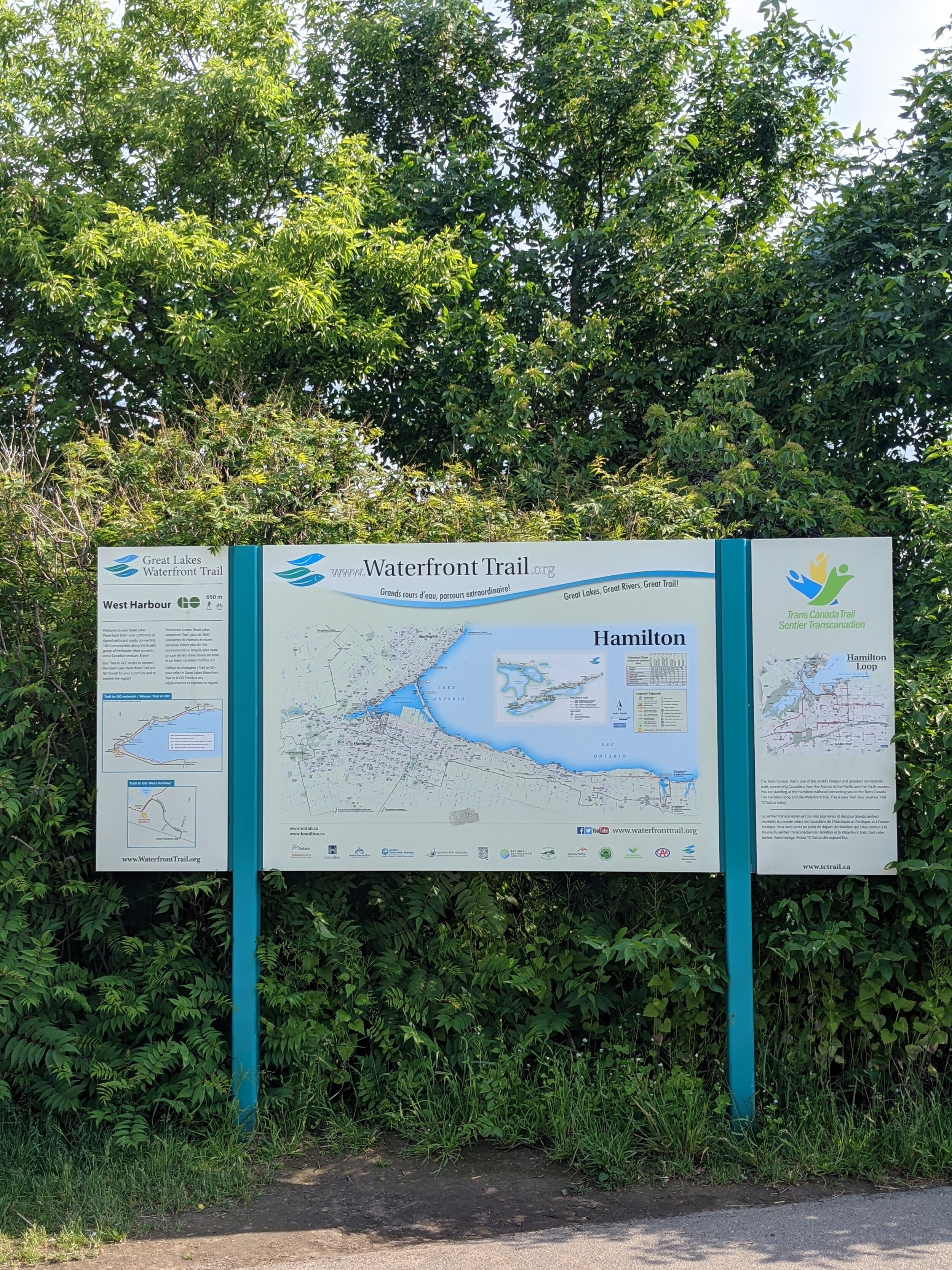
Connection points
Aldershot: Aldershot GO/ VIA Station at Waterdown Rd./ Highway 403
Confederation Park: QEW/ Centennial Pkwy
Route design
Easy: Paved; half of the route is a paved trail (Waterfront Trail) or optional on-street (Beach Blvd.)
Take care crossing under the QEW on North Shore Blvd. and crossing the lift bridge
City transit access
Aldershot: Route 18, Burlington Transit 1
Confederation Park: Route 56 (seasonal), Route 11 nearby
Inter-city transit access
Aldershot: GO/ VIA Station
Confederation Park: Stoney Creek (Nash Rd.) GO Transit
Our Ride:
Ridden by: Meredith

Meredith is a long-time New Hope staffer. She works as a mechanic, Ride Smart instructor and teaches our Bike-packing 101-weekend course. She is an avid cyclist and recently completed the cannonball 300 (so she definitely likes long and challenging rides). She is also probably the only one of us who is still nice to people on the phone at the shop.
Our name for this route: prettyyyy pretty good
This ride ended up being 14.2km with about 44m elevation (Aldershot to confederation). Done in the other direction. It looks like you might end up around 150m of elevation. Making this route a loop almost triples the distance, but besides a couple awkward spots, it was given an 8/10 overall by Mere, so it's definitely pretty good!
Difficulty Rating:

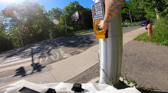
Welcome to the danger… er construction zone.
This route scored 8/10 for easiness and accessibility. There are only a couple turns on the route, so it's easy to stay on, and the majority of it is on quiet streets or the lakefront trail, so it's a very chill time. There are only two spots that lower the rating of this route. (1) the awkward start/end across from Aldershot Go station and (2) navigating the weird (and never-ending?) bridge construction on North Shore. Having this route stop/start at Aldershot automatically increases the difficulty of the ride because it pretty much starts you in the middle of a bunch of on and off-ramps, which seems rather unnecessary for a lake shore ride. Additionally, the construction on the highway bridge at North Shore Blvd is such a mess with traffic that Mere ended up actually going off the road and behind a concrete barricaded walkway for pedestrians because it just felt safer. Otherwise, though this route was lovely and relaxing and would be an excellent ride for people new to cycling and looking to go on a longer ride that still maintains a leisurely vibe.
Is It Easy to Stay On?:

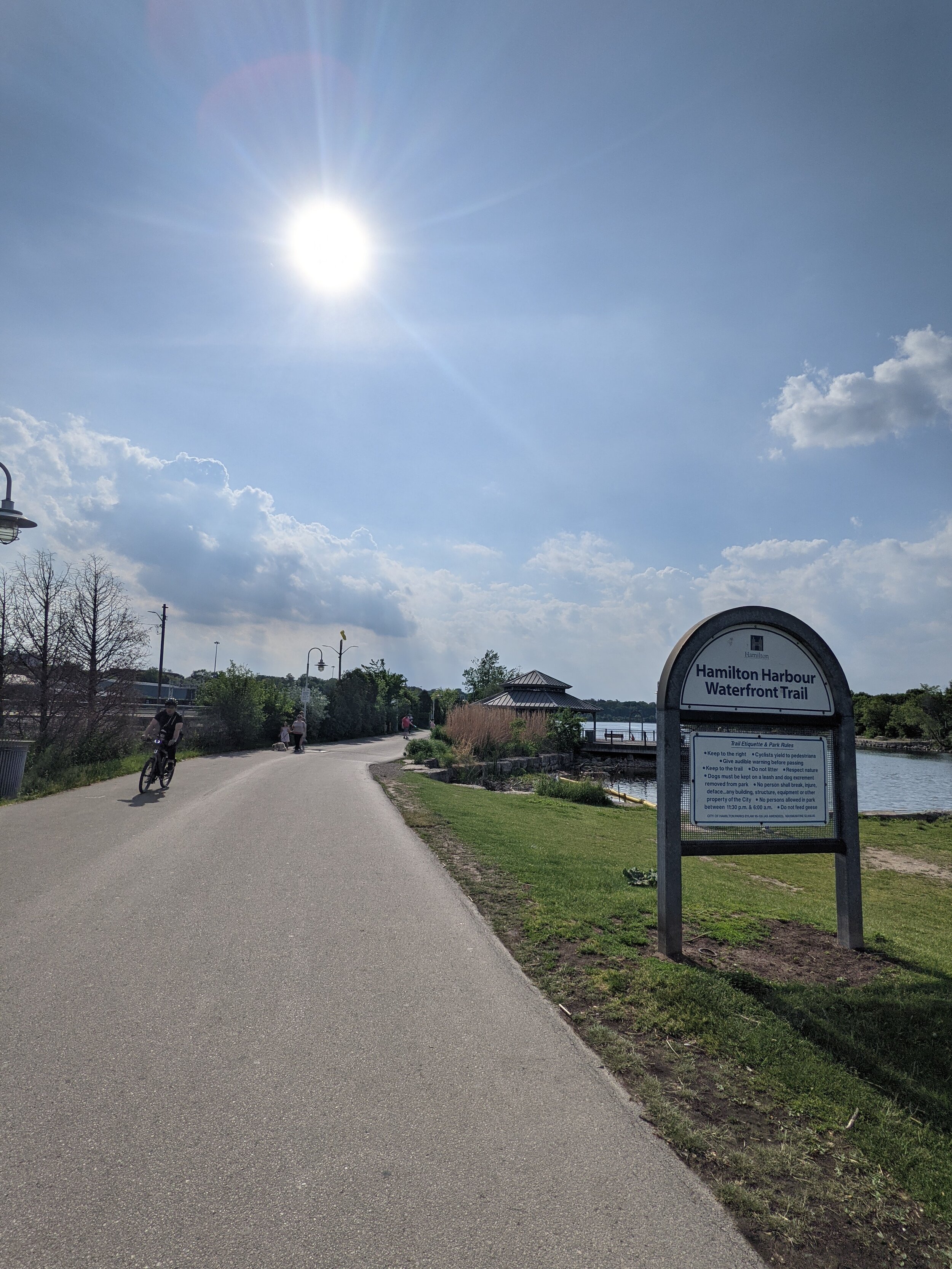
Breathe in that fresh Lake Ontario air.
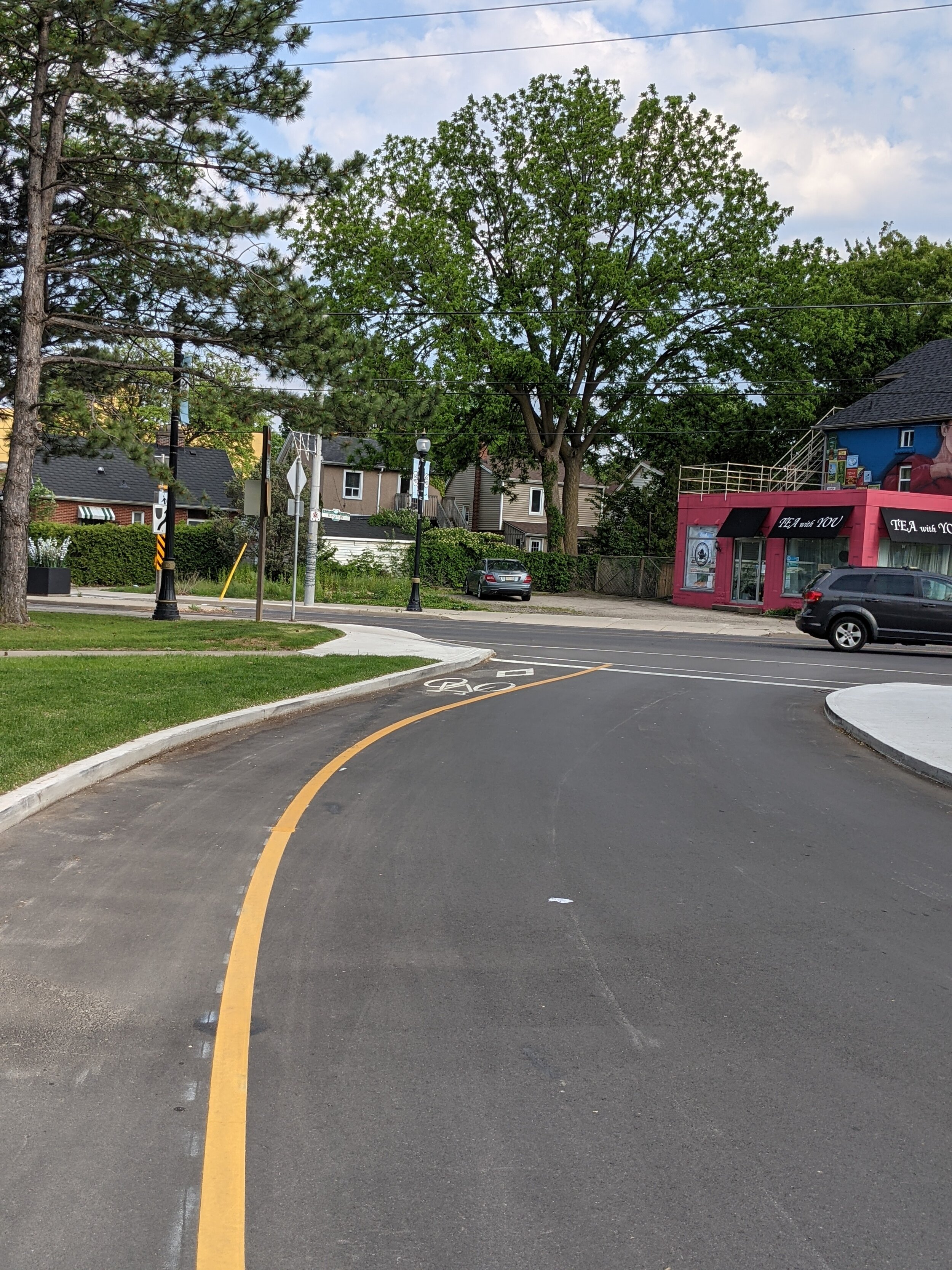
Mere rated this section 9/10 because it's generally well marked with lots of great bike lanes, signs and sharrows. There are also only two really major turns to take, so it is pretty easy to memorize. The only confusion comes from the age of these routes. Because they were made around 2003, they were planned with little to no existing bike infrastructure. Now that both Hamilton and Burlington have been investing in cycling infrastructure, there is a bit of route confusion because these routes keep you off newer bike paths. For example, when turning from Waterdown Rd onto North Shore Blvd, there's now an option to either stay on the road, marked by a sharrow, or to ride into the city park where a paved path and green bike sign mark a different way down the big hill (Mere had ridden that path before, and said "it's really fun! It connects to the bottom of the hill through the woods on a dirt/gravel path, which is very enjoyable and still pretty easy to ride on.")
How Was the Infrastructure?:

Does Burlington even have potholes?
So overall, the infrastructure on this ride was really great. There were lots of bike paths, lanes, and sharrows to choose from. When there weren't, you were on fancy pants Burlington residential neighbourhood streets, so you know they were well maintained. The primary spot that this route lost points on was the overpass, as mentioned earlier, where Mere described it as "confusing signage, mashed pavement and random concrete barriers and pylons to throw you off from finding a straight way through." There is lots of infrastructure along the waterfront trail portion that makes this an especially beginner or family-friendly route. Notable mentions go to the plentiful benches, good stuff to lean your bike on during a break, places to grab snacks, and a giant row of bike racks beside the Barangas patio.
Overall Takeaways and Recommendations:
The main takeaway from this route is that if you axe the Aldershot Go station section, and if that bridge construction ever finishes, this is/will be a really nice and easy bike route. It includes just enough elevation to improve beginner fitness without being impossible to complete without risk of failure.
Make the routes easier to update when new infrastructure becomes available. This way, you don't have to worry about entirely overhauling them every 10-20 years when traffic and infrastructure have inevitably changed.
Find a nice way to make it an actual lakeshore loop that can be done starting and ending in Hamilton. It will definitely require adding some km's but would probably be worth it as this is a pretty standard way for people to ride to the beach from downtown.
Don't start/stop cycling routes at the Aldershot Go station. Depending on the time of day, the bike racks on the buses back to Hamilton can be pretty full, and the cost of the go bus is $4, which probably won't break the bank but may act as a barrier. Additionally, sometimes you end up waiting a while between buses which can be an annoying deterrent to using this route.
Please finish that underpass/bridge construction. It sucks.